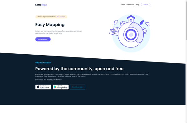
Kartaview
Description: Kartaview is an open-source web mapping platform for visualizing and analyzing geospatial data. It allows users to create interactive maps, perform spatial analysis, and build location-based applications.
Type: software
Pricing: Open Source
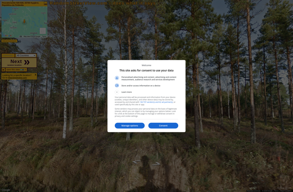
Random Street View
Description: Random Street View is a website that shows random Google Street View images from around the world. It's a fun way to explore different places and see what's out there.
Type: software