3d.city
Description: 3d.city is a 3D modeling and visualization platform for architects, urban planners, and designers to model cities and buildings in 3D. It allows users to import maps and satellite imagery to create 3D models of existing or planned buildings and cities.
Type: software
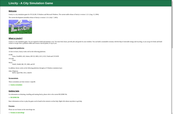
Lincity-NG
Description: Lincity-NG is an open source city simulation game for Linux. It allows players to build and manage a virtual city, making decisions around zoning, power plants, transport and more to keep citizens happy.
Type: software
Pricing: Free