DroneDeploy
Description: DroneDeploy is a cloud-based drone mapping and analytics platform that enables users to easily create maps and 3D models from drone images. The software supports flight planning, automated flights, and processes imagery to produce high-resolution maps and models.
Type: software
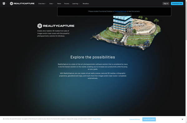
RealityCapture
Description: RealityCapture is a powerful 3D scanning software used to process photos and point clouds into clean 3D meshes and textured models. It utilizes photogrammetry and computer vision algorithms for efficient processing.
Type: software