AutoCAD Civil 3D

AutoCAD Civil 3D: Civil Engineering Design Software
AutoCAD Civil 3D is civil engineering design software that enables the creation of 3D models for planning, designing, and managing land development and transportation projects. It includes tools for surveying, terrain modeling, civil engineering drawing production, project quantity takeoffs, and construction documentation.
What is AutoCAD Civil 3D?
AutoCAD Civil 3D is a civil engineering and design software application created by Autodesk. It allows users to model realistic 3D representations of infrastructure projects to simulate real-world construction and management processes. Civil 3D is used by civil engineers, surveyors, designers, drafters and other professionals to plan, analyze, design, construct and manage civil engineering projects including roads, highways, tunnels, bridges, dams, industrial parks, land development and utilities.
Key features include tools for importing and working with GIS data, building information modeling (BIM) workflows, survey data management, automated point cloud processing, system and quantity takeoffs, customizable Cogo surveys, dynamic model sharing for multi-user projects, and powerful visualization and rendering abilities. The software integrates with other Autodesk solutions like AutoCAD, InfraWorks, Navisworks, and the Autodesk cloud for additional workflows.
Civil 3D contains a catalog of civil engineering standards and parts that can automatically generate road profiles, pipe networks, construction layout data, cross sections and other design elements. It also supports a range of popular geospatial file formats for integrating external data and imagery. Using its advanced analysis tools, civil engineers can study watershed hydraulics, stormwater drainage systems, traffic volumes and impacts from future development. Custom fields, feature labels and tables help manage all project and asset attribute data.
AutoCAD Civil 3D Features
Features
- Civil engineering design
- Surveying
- Terrain modeling
- Drawing production
- Quantity takeoffs
- Construction documentation
Pricing
- Subscription-Based
Pros
Cons
Reviews & Ratings
Login to ReviewThe Best AutoCAD Civil 3D Alternatives
Top Development and Cad and other similar apps like AutoCAD Civil 3D
Here are some alternatives to AutoCAD Civil 3D:
Suggest an alternative ❐12d Model

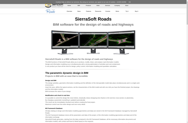
SierraSoft Roads

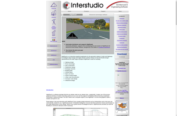
Highroad

Bentley Inroads
