LandSearch

LandSearch: Land and Property Records Search Software
Discover public records on land parcels, property deeds, mortgages, and more with our comprehensive search software
What is LandSearch?
LandSearch is a comprehensive land and property records search software used to search public records and find information on land parcels, deeds, mortgages, easements, land surveys, mineral rights, oil and gas leases, title documents, property maps, property sales history, property ownership, property taxes, property characteristics, zoning data, aerial imagery and more across the United States.
The software provides access to county recorder, assessor, clerk, auditor and GIS department databases for over 3,100 counties across the country. Users can search by address, owner name, parcel number and geographic coordinates to pull back land title documents, historical deeds, high-resolution property maps, aerial photos, tax assessment information, property characteristic data and other records found in county databases that provide transparency into U.S. property information.
Key features include: national coverage of county recorder, assessor and GIS databases; interactive parcel maps; official county data including recorded documents, tax data, deeds, mortgages and more; owner name search to find all properties owned; bulk searching tools; customized property reports and pdf document downloads; access to high-resolution aerial imagery; and integrated public land ownership data. The software aims to provide comprehensive transparency into land and property information across the U.S.
LandSearch Features
Features
- Search public records for land parcels
- Find property deeds
- Search mortgages
- Access land surveys
- View mineral rights
- Search records across the United States
Pricing
- Subscription-Based
Pros
Cons
Official Links
Reviews & Ratings
Login to ReviewThe Best LandSearch Alternatives
View all LandSearch alternatives with detailed comparison →
Top Business & Commerce and Real Estate and other similar apps like LandSearch
Here are some alternatives to LandSearch:
Suggest an alternative ❐Apartments.com

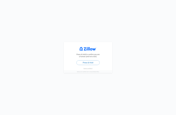
Zillow
LandWatch

Realtor

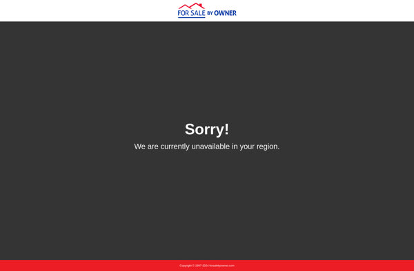
ForSaleByOwner
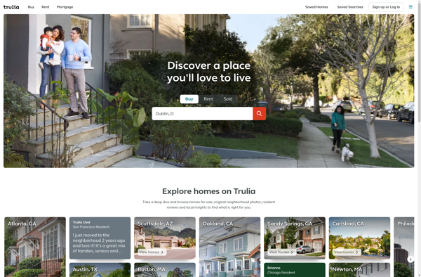
Trulia