Meteo Maps
Meteo Maps: Free Interactive Weather Map
A free, interactive weather map providing current conditions, forecasts, radar, satellite imagery, and customizable map layers for locations worldwide.
What is Meteo Maps?
Meteo Maps is a free, interactive online weather map that allows users to visualize current and forecasted weather conditions anywhere in the world. With an intuitive user interface, it makes viewing detailed weather information quick and easy.
On the map, users can overlay multiple weather layers like temperature, precipitation, wind speed, pressure and clouds. The layers are color coded so it's simple to identify patterns at a glance. There's also radar and satellite imagery available to see storms and cloud cover.
Users can easily pan and zoom to any location. Just click or tap on the map to view the weather at that spot. There's an automated forecast graph that pops up showing the temperature, precipitation chances, etc. over the next week. Everything is interactive.
Beyond basic weather, Meteo Maps provides specialized maps for activities like sailing and skiing. These show wind speeds, wave heights, snow depth and more. There are also air quality and pollution maps available.
With versatile visualization options, Meteo Maps makes understanding weather forecasts for planning any activity easy. And it's reliable, drawing weather data from various authoritative government sources like NOAA and Environment Canada.
Meteo Maps Features
Features
- Interactive weather map
- View current conditions
- Weather forecasts
- Radar imagery
- Satellite imagery
- Customizable map layers
Pricing
- Free
Pros
Cons
Official Links
Reviews & Ratings
Login to ReviewThe Best Meteo Maps Alternatives
Top Travel & Location and Weather and other similar apps like Meteo Maps
Here are some alternatives to Meteo Maps:
Suggest an alternative ❐AccuWeather

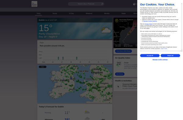
The Weather Channel
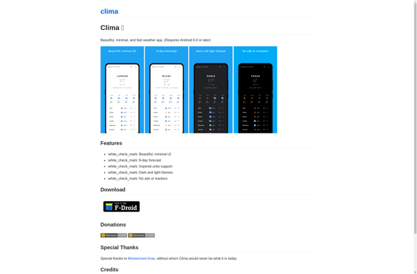
Clima
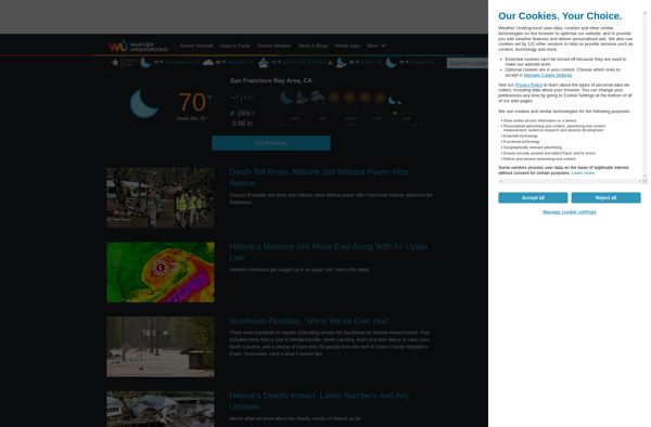
Weather Underground
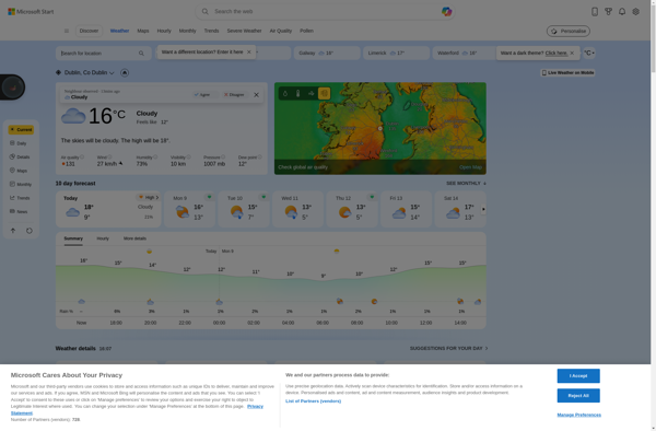
MSN Weather
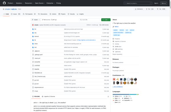
Wttr.in
Weather Live

Geometric Weather
Yahoo! Weather

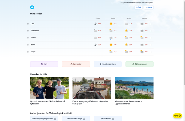
Yr.no
World Wide Weather
