Planisphere is a free, open source software for creating interactive star charts. It allows users to customize and generate maps of the night sky for any location and time.
Create customizable, interactive star charts with Planisphere, a free open source software for mapping the night sky at any location and time.
What is Planisphere?
Planisphere is a free, open source application that allows users to create customized, interactive maps of the night sky from any location on Earth. Developed by Stellarium, Planisphere generates detailed star charts, highlighting constellations, planets, galaxies, nebulae and more based on the user's defined location, date, and time.
Key features of Planisphere include:
Generate detailed interactive star maps for any date, time, and location
Customize charts by changing date/time, location, limiting magnitude, adding constellation lines etc.
Identify stars, constellations, deep sky objects and planets
Change point of view and field of view settings
Add descriptive labels for celestial objects
Export charts as PNG, SVG or PDF files
Completely free and open source software
With its user-friendly interface and wealth of customization options, Planisphere makes it easy for astronomy enthusiasts to create accurate, tailored sky charts for observation planning, outreach events, or educational use. Its open source nature also allows developers to extend its capabilities. Overall, Planisphere offers an excellent free alternative to expensive planetarium software.
Planisphere Features
Features
Generate customizable maps of the night sky
Support for multiple languages
Adjustable field of view and limiting magnitude
Ability to add deep sky objects
Printable star charts
Search for celestial objects
Pricing
Free
Open Source
Pros
Free and open source
Easy to use interface
Highly customizable star charts
Available on multiple platforms
Cons
Limited selection of celestial objects
Basic graphics
Few advanced features compared to paid alternatives
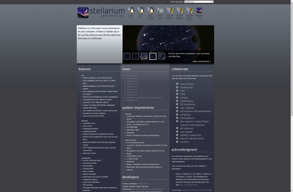
Stellarium is a free, open-source planetarium software that shows a realistic and accurate 3D simulation of the night sky, just like what you can see with the naked eye, binoculars or a small telescope. It is available for Windows, Mac, and Linux operating systems.With Stellarium, you can visualize the actual...
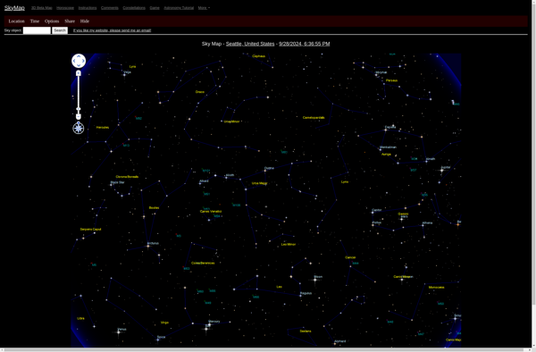
Sky Map is a popular free stargazing app developed by Google. It allows users to easily explore and learn about astronomical objects in the night sky, using augmented reality and phone sensors.To use Sky Map, you simply open the app and hold your phone up to the sky. The app...
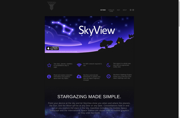
SkyView is a versatile and user-friendly virtual planetarium software for Windows, Mac, and Linux operating systems. It allows users to explore the cosmos from the comfort of their home or office.With highly detailed and accurate star maps and orbital data, SkyView renders the positions of over 68,000 stars, all 88...
Noctua Stellarium Mobile is a feature-rich mobile planetarium app that allows users to explore the wonders of the night sky from the convenience of their phone or tablet. With over 600,000 stars, a catalogue of over 88 constellations, and realistic rendering of the Milky Way, it brings an immersive stargazing...
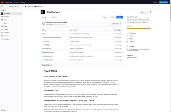
Planetario is a feature-rich, open-source astronomy application for Windows, Mac, and Linux. It provides an interactive 3D simulation of the night sky, accurately displaying the positions and movements of stars, planets, moons, constellations, galaxies, and other celestial objects.Key features of Planetario include:Realistic 3D representation of the night sky from any...
Sky Guide is an augmented reality stargazing app developed by Fifth Star Labs. It allows users to identify stars, planets, constellations, and satellites visible in the night sky by simply pointing their phone camera at the sky.Some key features of Sky Guide include:Augmented reality overlay showing names and information about...
SkyMap is a popular, free stargazing application for Android and iOS devices. It allows users to explore the night sky in real-time and identify stars, constellations, planets, satellites, and other celestial objects visible above them.When opened, SkyMap uses the device's orientation sensors and GPS to display an augmented reality view...
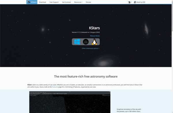
KStars is a powerful open source desktop planetarium software for Linux and other UNIX-like systems. It provides an accurate graphical simulation of the night sky, from any location on Earth, at any date and time. KStars enables users to visualize the positions of stars, planets, comets, supernova remnants and more,...
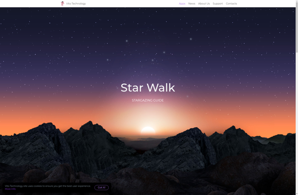
Star Walk is a series of augmented reality astronomy apps developed by Vito Technology for iOS and Android devices. First launched in 2008, the apps allow users to explore the night sky by holding up their phone and seeing stars, constellations, planets, satellites, and other celestial objects overlaid in their...
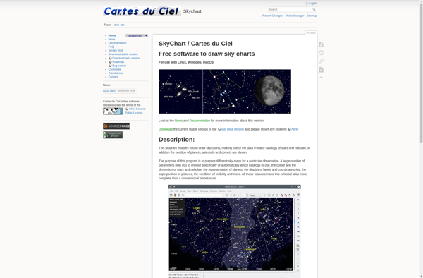
Cartes du Ciel (Skychart) is a popular free, open-source planetarium software used by astronomy enthusiasts. It allows users to map and track celestial objects like stars, planets, comets, asteroids, satellites, etc. on an interactive sky chart.Some key features of Cartes du Ciel include:Simulation of the night sky from any location...
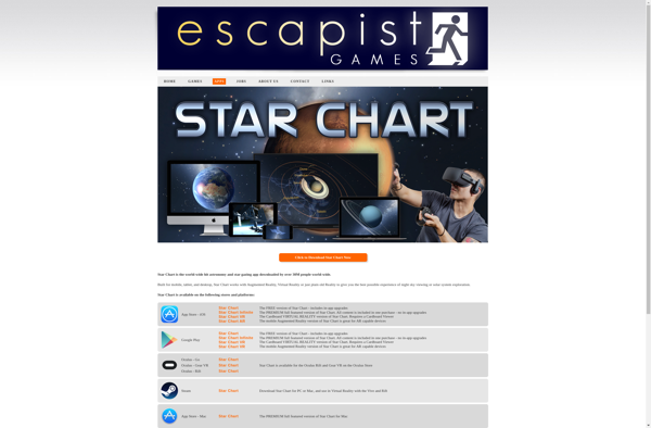
Star Chart is an interactive astronomy map software used by amateur astronomers, students, and enthusiasts to map and catalog celestial objects like stars, planets, galaxies, nebulae, etc. It contains detailed catalogs with millions of deep sky objects. Users can pan around and use it as a planetarium-style star map to...
Gaia Sky is an interactive 3D software program that models the Milky Way galaxy in striking detail. It uses scientific data from the European Space Agency's Gaia mission and other astronomical surveys to recreate the positions, movements, and details of over 1.5 billion stars in our galaxy. Users can zoom...