ArcGIS
Description: ArcGIS is a geographic information system (GIS) for working with maps and geographic information. It allows you to create, analyze, store, and share geographic data and maps.
Type: software
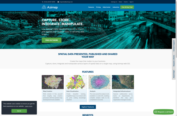
Azimap GIS
Description: Azimap GIS is an open-source geographic information system software for creating and analyzing maps. It offers features like raster and vector data editing, geoprocessing tools, print layout creation, and publishing interactive web maps.
Type: software
Pricing: Open Source