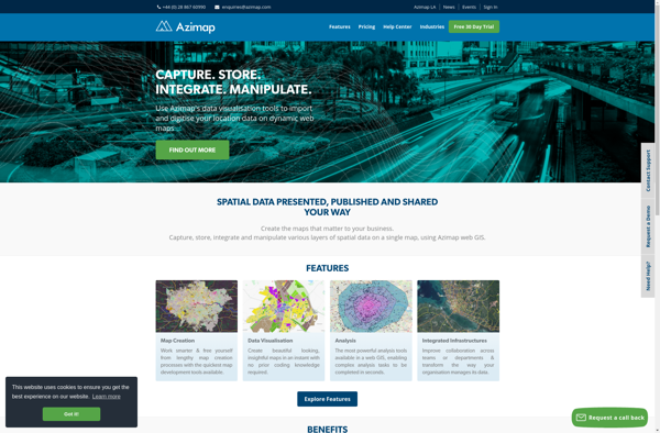
Azimap GIS is an open-source geographic information system software for creating and analyzing maps. It offers features like raster and vector data editing, geoprocessing tools, print layout creation, and publishing interactive web maps.
Azimap GIS: Open-Source Geographic Information System
Azimap GIS is an open-source geographic information system software for creating and analyzing maps. It offers features like raster and vector data editing, geoprocessing tools, print layout creation, and publishing interactive web maps.
What is Azimap GIS?
Azimap GIS is an open-source geographic information system (GIS) software application used to create, edit, visualize, analyze and publish geospatial information. It enables users to work with both raster and vector data, including the ability to create, edit and manage spatial datasets.
Key features of Azimap GIS include:
Interactive map display with data overlay and analysis capabilities
Advanced geoprocessing and spatial analysis tools
Ability to create professional print layouts and high-quality map outputs
Options for publishing web maps and online GIS services
Support for numerous data formats and geospatial data servers
Customizable with Python plugins and integration with other languages like R
Multiplatform support for Linux, Mac and Windows
Azimap GIS provides a user-friendly desktop application experience combined with professional-grade GIS functionality. Its wide range of features along with its open-source nature makes it a popular choice among GIS analysts, researchers, government agencies and other organizations with geospatial data mapping/analysis needs.
Azimap GIS Features
Features
Desktop GIS software with standard GIS capabilities
Support for raster and vector data
Data editing and geoprocessing tools
Map creation and print layouts
Publishing interactive web maps
Plugin architecture for extensibility
Pricing
Open Source
Pros
Free and open source
Cross-platform (Windows, Mac, Linux)
User-friendly interface
Support for many data formats
Active development community
Cons
Limited functionality compared to proprietary options
QGIS is a professional open-source Geographic Information System (GIS) software for working with maps and geospatial data. It is licensed under the GNU Public License. QGIS allows you to view, edit, analyze, process, and visualize spatial data in various formats including shapefiles, GeoTIFFs, PostGIS, SpatiaLite, GPX, and more. It supports...
Global Mapper is a powerful and easy-to-use Geographic Information System (GIS) software application for working with spatial data. Developed by Blue Marble Geographics, it supports a wide range of raster, vector, and elevation data formats allowing users to integrate spatial data from different sources for viewing, editing, analysis and conversion.Key...
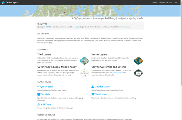
OpenLayers is an open source JavaScript library for displaying map data in web browsers. It provides an API for building rich web-based geographic applications.Some key features of OpenLayers include:Supports displaying map tiles and vector data from any sourceIncludes zooming, panning, layer switching controls out of the boxExtensive API for programatically...
ArcGIS is a robust and comprehensive geographic information system (GIS) software developed by Esri. It provides a range of capabilities for creating, managing, analyzing, and sharing geospatial data and maps across desktop, mobile, web, and enterprise systems.Key features of ArcGIS include:Advanced geospatial analysis tools for proximity analysis, geocoding, routing, terrain...
SAGA GIS (System for Automated Geoscientific Analyses) is a free and open source geographic information system (GIS) software used for editing and analyzing spatial data. It contains a large set of geoscientific analysis functions and utilities for managing vector, raster and table data.Some key features of SAGA GIS include:Support for...
what3words is a geocoding system that has divided the world into 3 meter squares and assigned each square a unique 3 word identifier. For example, the square that contains the front door of 10 Downing Street in London has been assigned the 3 word address ///slurs.this.shark.This system allows people to...
gvSIG Desktop is a free and open source geographic information system (GIS) software designed for capturing, storing, processing, analyzing and disseminating geospatial data. It is developed by the gvSIG Association and released under the GNU General Public License.Some key features of gvSIG Desktop include:Support for viewing and editing vector and...
PostGIS is an open source software program that adds support for geographic objects to the PostgreSQL object-relational database. PostGIS follows the Simple Features for SQL specification from the Open Geospatial Consortium (OGC). This enables PostgreSQL to store, query, and manipulate spatial data efficiently.Key capabilities and features of PostGIS include:Implements spatial...
GRASS GIS (Geographic Resources Analysis Support System) is a free and open source geographic information system (GIS) software suite used for geospatial data management, analysis, graphics and maps production, spatial modeling, and visualization.Some key features of GRASS GIS include:Powerful raster, vector, and geospatial processing tools for analysis and data conversionAbility...
Mapline is an open-source, self-hosted web application that allows users to create custom maps for free. It is an alternative to proprietary services like Google My Maps.Some key features of Mapline include:Ability to add markers, lines, shapes, and text notes to your mapsSupport for multiple layers on a single mapOptions...
Maptitude is a desktop Geographic Information System (GIS) software developed by Caliper Corporation. It provides tools for creating interactive maps, performing spatial analysis, managing geographic data, and generating reports.Key features of Maptitude include:Interactive mapping - Allows users to create professional-quality maps with layers, labels, scale bars, north arrows, etc.Data visualization...
M.App Enterprise is a comprehensive low-code development platform designed specifically for enterprises to build, deploy, and manage custom mobile apps across their organization. It allows businesses to quickly translate app ideas into reality without needing to code.With M.App Enterprise, developers can assemble mobile apps using pre-built templates, UI components, integrations,...
MapViewer is a free and open-source geographic information system (GIS) software application used for viewing, editing, and analyzing geospatial data. Developed by the Open Source Geospatial Foundation (OSGeo), MapViewer runs on Windows, macOS and Linux.Key features of MapViewer include:Support for major vector and raster spatial data formats including Shapefiles, GeoTIFF,...
OpenJUMP GIS is a free, open source Geographic Information System (GIS) software used to view, edit, analyze, and process geospatial data. It is written in Java and runs on multiple platforms including Windows, Mac, and Linux.Key features of OpenJUMP include:Supports viewing and editing of vector data in formats like Shapefile,...