PostGIS is an open source spatial database extender for PostgreSQL. It adds support for geographic objects, allowing location queries to be run in SQL. PostGIS enables PostgreSQL to store, query, and manipulate spatial data efficiently.
PostGIS: Open Source Spatial Database Extender for PostgreSQL
PostGIS is an open source spatial database extender for PostgreSQL. It adds support for geographic objects, allowing location queries to be run in SQL. PostGIS enables PostgreSQL to store, query, and manipulate spatial data efficiently.
What is PostGIS?
PostGIS is an open source software program that adds support for geographic objects to the PostgreSQL object-relational database. PostGIS follows the Simple Features for SQL specification from the Open Geospatial Consortium (OGC). This enables PostgreSQL to store, query, and manipulate spatial data efficiently.
Key capabilities and features of PostGIS include:
Implements spatial data types like geometry, geography, raster and others as defined by OGC
Allows location queries to be run in SQL with functions like ST_Intersects, ST_Within, ST_Distance, alongside regular SQL queries
Extensive spatial indexing and processing functions for vector and raster data
Utilities for importing/exporting shapefiles and other geographic data formats
Topology support for advanced spatial analysis and processing
Support for coordinate reference systems with reprojection on the fly
Cross platform and integrates with many GIS clients and APIs
With PostGIS, PostgreSQL can store geographic objects like points, lines, polygons, track locations, image raster datasets and perform spatial queries, analysis and advanced processing on this data within the SQL environment. It is used to build geospatial databases and systems in areas like mapping, navigation, analytics and more.
MapInfo Professional is a desktop geographic information system (GIS) software developed by Pitney Bowes for working with location-based data. It allows users to visualize, analyze, compile, and distribute spatial data.Key features of MapInfo Professional include:Interactive mapping - Easily create professional maps with layers, labels, scales, legends etc.Spatial analysis - Perform...
ArcGIS is a robust and comprehensive geographic information system (GIS) software developed by Esri. It provides a range of capabilities for creating, managing, analyzing, and sharing geospatial data and maps across desktop, mobile, web, and enterprise systems.Key features of ArcGIS include:Advanced geospatial analysis tools for proximity analysis, geocoding, routing, terrain...
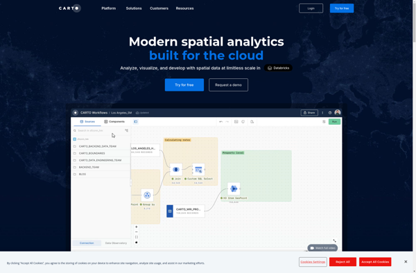
CartoDB is an open source platform for building location intelligence applications. It provides capabilities for spatial data storage, visualization, analysis, and publishing. Key features include:User-friendly drag and drop interface for creating interactive maps and dashboardsVisualization of geospatial datasets such as points, lines, and polygonsOptions for customizing maps with different basemaps,...
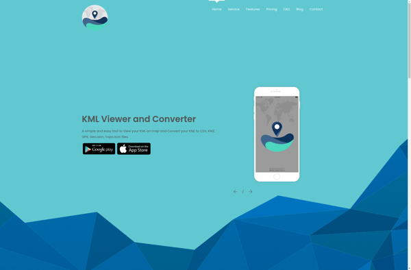
KML viewer and converter is a lightweight desktop application for working with geographic data in Keyhole Markup Language (KML) format. KML is an XML-based format used to display geographic data in applications such as Google Earth.With the KML viewer and converter, you can easily open and view the contents of...
Spotzi is an alternative music streaming service similar to Spotify. It has many of the same core features as Spotify such as:Streaming music on-demandPlaylists and music recommendationsSocial features to follow friends and artistsMobile and desktop appsWhere Spotzi differs from Spotify is its focus on emerging and independent artists. Over half...
gvSIG Desktop is a free and open source geographic information system (GIS) software designed for capturing, storing, processing, analyzing and disseminating geospatial data. It is developed by the gvSIG Association and released under the GNU General Public License.Some key features of gvSIG Desktop include:Support for viewing and editing vector and...
SpatiaLite is an open source spatial database extender for SQLite that adds support for geographic objects. It enables SQLite to be used as a full-featured spatial database by adding spatial data types, functions, and necessary infrastructure.Some key features of SpatiaLite include: Implements Spatial SQL capabilities as defined by OGC Supports...
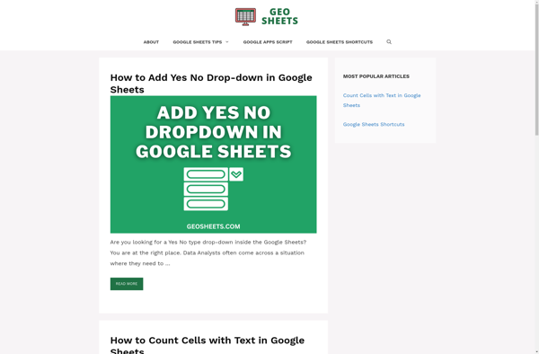
GeoSheets is a cloud-based geographic information system (GIS) software designed for creating interactive maps and analyzing spatial data. Some key features of GeoSheets include:Intuitive drag-and-drop interface to import, visualize and edit geospatial data from a variety of sources like Excel, CSVs, databases, APIs etc.Powerful yet easy-to-use tools for geocoding, spatial...
GRASS GIS (Geographic Resources Analysis Support System) is a free and open source geographic information system (GIS) software suite used for geospatial data management, analysis, graphics and maps production, spatial modeling, and visualization.Some key features of GRASS GIS include:Powerful raster, vector, and geospatial processing tools for analysis and data conversionAbility...
Mapline is an open-source, self-hosted web application that allows users to create custom maps for free. It is an alternative to proprietary services like Google My Maps.Some key features of Mapline include:Ability to add markers, lines, shapes, and text notes to your mapsSupport for multiple layers on a single mapOptions...
Mapserver is an open source geographic data rendering engine written in C. It allows users to publish spatial data and build interactive web mapping applications without the need for desktop GIS software. Mapserver excels at rendering spatial data and creating high-performance interactive maps that can be accessed via web browsers.Some...
Maptitude is a desktop Geographic Information System (GIS) software developed by Caliper Corporation. It provides tools for creating interactive maps, performing spatial analysis, managing geographic data, and generating reports.Key features of Maptitude include:Interactive mapping - Allows users to create professional-quality maps with layers, labels, scale bars, north arrows, etc.Data visualization...
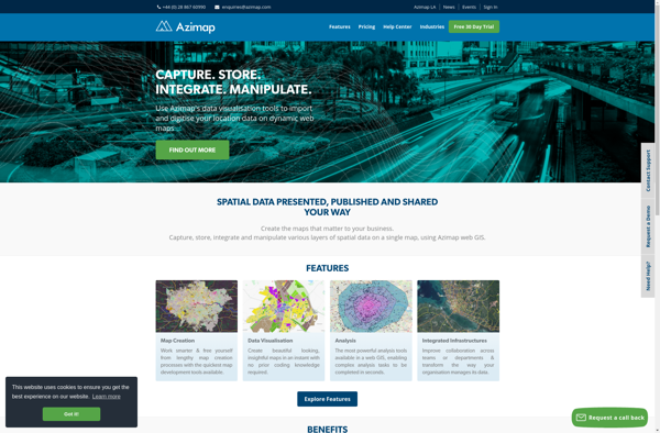
Azimap GIS is an open-source geographic information system (GIS) software application used to create, edit, visualize, analyze and publish geospatial information. It enables users to work with both raster and vector data, including the ability to create, edit and manage spatial datasets.Key features of Azimap GIS include:Interactive map display with...
TdhGIS is an open-source geographic information system (GIS) software application developed by Terre des hommes (Tdh), an international NGO focused on humanitarian aid for children. It is designed specifically for public health professionals to map and analyze data to improve programs and policies.Key features of TdhGIS include:Interactive and dynamic mapping...
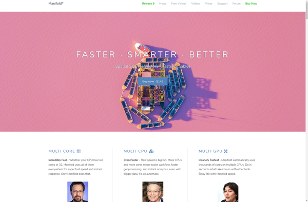
Manifold is a specialized 3D modeling and surface design software for Windows. It excels at creating smooth, flowing, organic 3D forms and manipulated surfaces for artistic purposes.Some key features of Manifold include:Powerful tools for sculpting, bending, twisting, and deforming surfacesIntuitive interface for manipulating control vertices and polygonsAdvanced smoothing, filleting, and...