Mapline is an open-source, self-hosted alternative to Google My Maps. It allows users to create custom maps with markers, lines, shapes, and notes. Useful for planning trips, visualizing data, or creating informative maps.
Create custom maps with markers, lines, shapes, and notes, perfect for trip planning, data visualization, or informative mapping, all with an open-source solution on Sugggest
What is Mapline?
Mapline is an open-source, self-hosted web application that allows users to create custom maps for free. It is an alternative to proprietary services like Google My Maps.
Some key features of Mapline include:
Ability to add markers, lines, shapes, and text notes to your maps
Support for multiple layers on a single map
Options to customize the design, colors, icons, etc.
Capability to import/export and share maps
Integration with open standard mapping services like OpenStreetMap
Self-hosted - install on your own server for full control and privacy
Mapline is useful for diverse use cases such as planning trips, visualizing location-based data, coordinating logistics, educating audiences, etc. Its simple, intuitive interface makes it easy for anyone to start creating useful maps. And being open-source and self-hosted grants full transparency as well as ownership of data.
Overall, for those seeking a free, customizable, and ethical alternative to map creation services, Mapline ticks all the right boxes.
Mapline Features
Features
Create custom maps with markers, lines, shapes and notes
Import/export data in JSON, GeoJSON, CSV and KML formats
Customize map appearance and styling
Share maps publicly or keep private
Geocode addresses and locations
Measure distances and areas on map
Search and filter map data
Works on desktop and mobile
Pricing
Open Source
Pros
Free and open source
Self-hosted - you control your data
Powerful customization options
Import/export data from various formats
Intuitive and easy to use
Active development and community support
Cons
Requires self-hosting which needs technical expertise
Google Maps is a web mapping platform and consumer application offered by Google. It offers satellite imagery, aerial photography, street maps, 360° interactive panoramic views of streets, real-time traffic conditions, and route planning for traveling by foot, car, bicycle and air, or public transportation.Key features of Google Maps include:Interactive street...
Google Earth is a geobrowser that accesses satellite and aerial imagery, ocean bathymetry, and other geographic data over the internet to represent the Earth as a three-dimensional globe. It was originally developed by Keyhole, Inc., a company acquired by Google in 2004.Google Earth allows users to search for addresses and...
What Is MAPS.ME?MAPS.ME is a mobile maps and navigation app that provides detailed offline maps for over 200 countries. Originally open source, it was one of the first apps to make OpenStreetMap data accessible on mobile with a polished interface.Key FeaturesUsers download maps by country or region for fully offline...
QGIS is a professional open-source Geographic Information System (GIS) software for working with maps and geospatial data. It is licensed under the GNU Public License. QGIS allows you to view, edit, analyze, process, and visualize spatial data in various formats including shapefiles, GeoTIFFs, PostGIS, SpatiaLite, GPX, and more. It supports...
OpenStreetMap (OSM) is a collaborative project to create a free and editable map of the world. Unlike proprietary map data from companies like Google or Apple, OSM map data is open and licensed under the Open Database License (ODbL), which allows anyone to use, modify, and distribute the data freely.The...
Map Chart is a powerful yet easy-to-use data visualization software designed specifically for creating customized maps. It enables users to visualize various datasets tied to geographic locations on insightful choropleth, bubble and marker maps.The software provides a drag-and-drop interface to map any data across countries, states, regions, postal codes and...
MapInfo Professional is a desktop geographic information system (GIS) software developed by Pitney Bowes for working with location-based data. It allows users to visualize, analyze, compile, and distribute spatial data.Key features of MapInfo Professional include:Interactive mapping - Easily create professional maps with layers, labels, scales, legends etc.Spatial analysis - Perform...
HERE WeGo is a free map and navigation app developed by HERE Technologies for iOS and Android devices. It allows users to navigate by car, public transportation, foot or bike using turn-by-turn voice guided directions. Key features of HERE WeGo include:Offline maps - Download maps to your device so you...
Microsoft MapPoint is a discontinued mapping and geographic information system (GIS) software application. It was developed by Microsoft to help users visualize data on maps, create custom maps, perform geographic analysis, and integrate location intelligence into various business processes and workflows.MapPoint allowed users to import, analyze and map data such...
SAGA GIS (System for Automated Geoscientific Analyses) is a free and open source geographic information system (GIS) software used for editing and analyzing spatial data. It contains a large set of geoscientific analysis functions and utilities for managing vector, raster and table data.Some key features of SAGA GIS include:Support for...
SuperGIS is a comprehensive geographic information system (GIS) software developed by SuperMap. It provides a wide range of capabilities for working with maps and geographic data including:Data Capture and Management - SuperGIS can import, manage and analyze spatial data from various sources. It supports vector, raster, CAD, databases, lidar, BIM...
Google Fusion Tables is a cloud-based service designed for working with structured data. It allows users to upload, host, manage, share, visualize and collaborate on tabular datasets. Some of the key features of Google Fusion Tables include:Data importing from various formats like CSV, KML, spreadsheetsData exporting to formats like CSV...
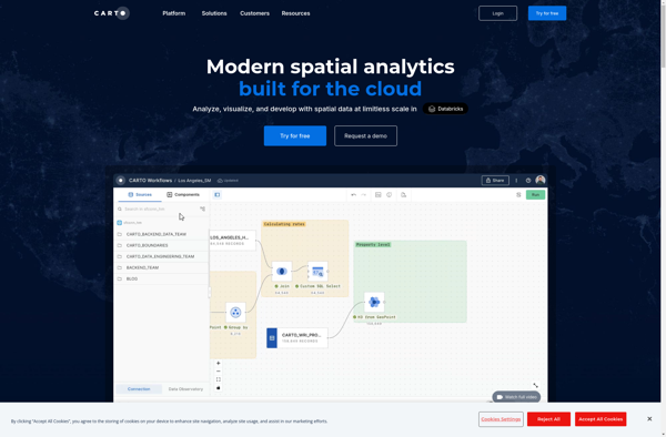
CartoDB is an open source platform for building location intelligence applications. It provides capabilities for spatial data storage, visualization, analysis, and publishing. Key features include:User-friendly drag and drop interface for creating interactive maps and dashboardsVisualization of geospatial datasets such as points, lines, and polygonsOptions for customizing maps with different basemaps,...
Bing Maps 3D is a 3D mapping platform from Microsoft that provides interactive maps and location intelligence services. It is part of the Bing Maps product suite.Some key features of Bing Maps 3D include:Interactive 3D map views with support for aerial, road, and hybrid map stylesAbility to incorporate 3D maps...
BatchGEO is an open-source web application designed specifically for analyzing and visualizing Gene Expression Omnibus (GEO) data. It provides an intuitive graphical user interface that allows researchers to easily query, compare, visualize and analyze GEO datasets without writing any code.Some key features of BatchGEO include:Intuitive search and filtering options to...
Apple Maps is a web mapping service developed by Apple Inc. It was introduced in 2012 with iOS 6 as a replacement for Google Maps on Apple devices. Apple Maps offers turn-by-turn navigation, interactive panoramic street views, Flyover mode for photorealistic 3D views of certain cities, support for transit routing...
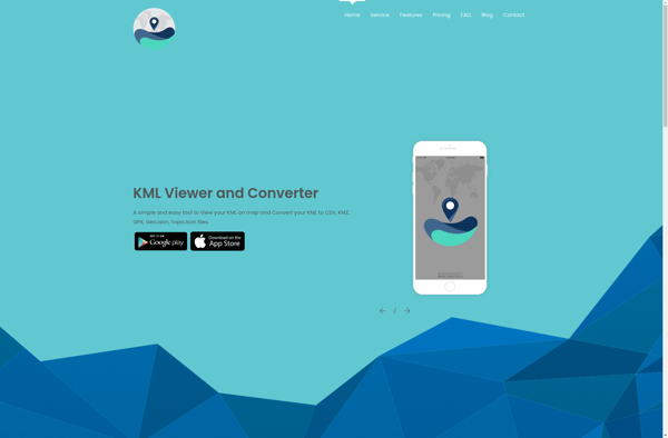
KML viewer and converter is a lightweight desktop application for working with geographic data in Keyhole Markup Language (KML) format. KML is an XML-based format used to display geographic data in applications such as Google Earth.With the KML viewer and converter, you can easily open and view the contents of...
Leaflet is an open-source JavaScript library for building web mapping applications. Here is a more detailed overview:- Leaflet is designed with simplicity, performance and usability in mind. It offers easy integration with other mapping libraries and APIs.- The library is extremely lightweight at only about 38 KB, which allows for...
what3words is a geocoding system that has divided the world into 3 meter squares and assigned each square a unique 3 word identifier. For example, the square that contains the front door of 10 Downing Street in London has been assigned the 3 word address ///slurs.this.shark.This system allows people to...
TerraExplorer is a powerful 3D GIS software solution developed by Skyline Software Systems. It enables users to import, analyze, and visualize complex 3D geospatial data from a variety of sources including GIS, CAD, BIM, and point clouds.With TerraExplorer, users can create highly accurate and realistic 3D environments by overlaying terrain...
Sharemap is an open-source web-based mind mapping and brainstorming application. It allows users to create colorful and visually engaging mind maps to organize ideas, concepts, and information. Some of the key features of Sharemap include:Real-time collaboration - Multiple users can work on the same mind map simultaneouslyRich formatting options -...
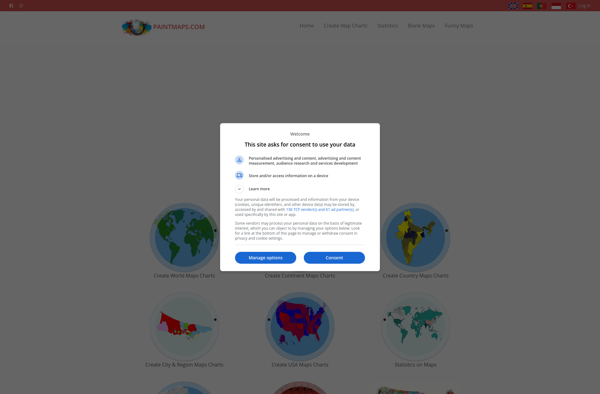
Paintmaps.com is a free online painting application that runs directly in your web browser. It allows users to create digital drawings and paintings using a range of brushes, colors, layers, and other tools.Some key features of Paintmaps.com include:Intuitive canvas interface for drawing and paintingVariety of brush types including pencils, pens,...
eSpatial is an open-source desktop geographic information system (GIS) software application used for working with maps and geographic information. It allows users to view, edit, create, and analyze spatial data, and produce maps and other visualizations.Some key features of eSpatial include:Interactive map display with support for pan, zoom, identify, measure,...
IndieMapper is an open source, offline-capable web map editor tailored for field mappers and humanitarians. It provides an intuitive and easy-to-use interface for collecting, editing, analyzing and exporting geographic data without an internet connection.Some key features of IndieMapper include:Works completely offline for areas with limited connectivityOpenStreetMap-based base maps with global...
StarCalc is a free and open-source spreadsheet application for Windows, macOS, and Linux. It provides many of the advanced features found in proprietary commercial spreadsheets like Excel, making it an excellent free alternative.Some of the key features of StarCalc include:Support for formulas and functions, including statistical, logical, financial, date/time, lookup,...
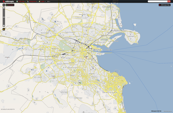
Wikimapia is a free, online map and satellite imaging resource that combines the functionality of Google Maps with a wiki component that allows users to add information, edits, and notes to any location in the world.Launched in 2006, Wikimapia aims to create a highly detailed, user-generated world map. The goal...
Yandex.Navigator is a popular free turn-by-turn navigation app developed by Yandex for Android and iOS devices. It provides real-time traffic information, speed limit warnings, lane assistance and offline maps for over 190 countries.Some key features of Yandex.Navigator include:Turn-by-turn voice guided navigation with offline maps so you can navigate without an...
BlackBerry Maps is a mobile map application developed by BlackBerry Limited specifically for BlackBerry 10 devices. It comes pre-installed on most BlackBerry 10 smartphones and provides a variety of mapping and navigation features.Some of the key capabilities of BlackBerry Maps include:Turn-by-turn GPS navigation with voice guidanceTraffic information with automatic rerouting...
Marble is a free and open source note taking application designed specifically for Linux desktop environments like KDE Plasma and GNOME. It provides a simple yet effective way to create rich text notes, tackle checklists, set reminders, and organize your notes into notebooks.Some of the key features of Marble include:Rich...
Google Maps Engine is a cloud-based mapping platform launched by Google in 2012. It allows users to store, visualize and share geographic data by creating custom maps.Some key features of Google Maps Engine include:Ability to upload spreadsheet data, KML files, geoJSON files to create layers on a mapConnect to external...
Mapnik is an open-source toolkit for developing mapping applications. It provides the functionality to take spatial data inputs, apply cartographic styling rules and symbolization, and render high-quality maps.Some key features and capabilities of Mapnik include:Access to many common spatial data formats such as shapefiles, PostGIS, SQLite, GeoJSON, KML, and others.Flexible...
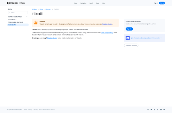
TileMill is an open source map design studio developed by MapBox that allows users to quickly and easily create custom interactive maps for the web. It has an intuitive user interface that allows users to import and style map data to create beautiful custom map visualizations.Some key features of TileMill...
PostGIS is an open source software program that adds support for geographic objects to the PostgreSQL object-relational database. PostGIS follows the Simple Features for SQL specification from the Open Geospatial Consortium (OGC). This enables PostgreSQL to store, query, and manipulate spatial data efficiently.Key capabilities and features of PostGIS include:Implements spatial...
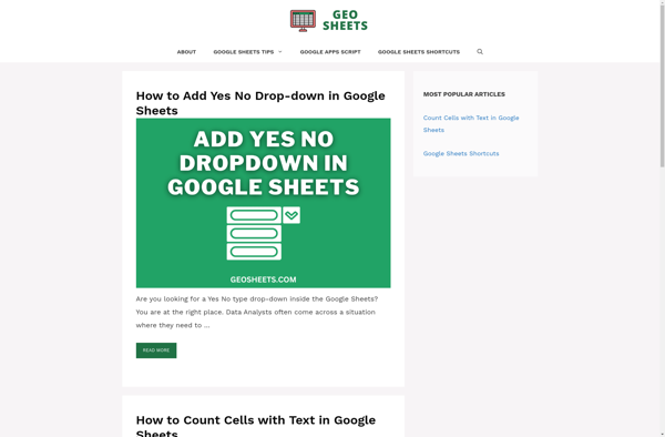
GeoSheets is a cloud-based geographic information system (GIS) software designed for creating interactive maps and analyzing spatial data. Some key features of GeoSheets include:Intuitive drag-and-drop interface to import, visualize and edit geospatial data from a variety of sources like Excel, CSVs, databases, APIs etc.Powerful yet easy-to-use tools for geocoding, spatial...
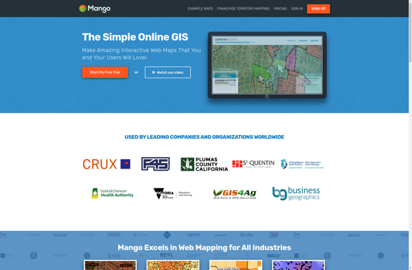
MangoMap is an intuitive yet powerful online mind mapping and brainstorming software. It enables individuals and teams to visually organize ideas, concepts, notes, tasks, and more into flexible and customizable maps.Key features of MangoMap include:Simple and easy-to-use interface - No need for training, anyone can start creating maps right awayReal-time...
The Google Maps API for Business is a paid version of the Google Maps API targeted at business users. It provides additional features and services beyond the free Google Maps API, such as:Custom styling options - Businesses can customize the look and feel of maps to match their brand.Enhanced data...
GRASS GIS (Geographic Resources Analysis Support System) is a free and open source geographic information system (GIS) software suite used for geospatial data management, analysis, graphics and maps production, spatial modeling, and visualization.Some key features of GRASS GIS include:Powerful raster, vector, and geospatial processing tools for analysis and data conversionAbility...
2GIS is a popular free map, local search and business directory mobile app and website operating in over 1800 cities across Russia, CIS, Europe, Asia and other countries. It offers detailed interactive maps, local business listings, navigation, reviews and other local information.Some key features of 2GIS include:Detailed vector maps for...
Mapserver is an open source geographic data rendering engine written in C. It allows users to publish spatial data and build interactive web mapping applications without the need for desktop GIS software. Mapserver excels at rendering spatial data and creating high-performance interactive maps that can be accessed via web browsers.Some...
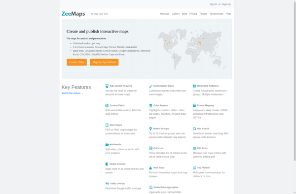
ZeeMaps is an easy-to-use online map creation and sharing application. It allows anyone to create great looking custom maps for free without GIS expertise or design skills.With ZeeMaps, you can add markers, lines, shapes, text notes, images, and videos to your maps to effectively visualize locations, routes, areas and associated...
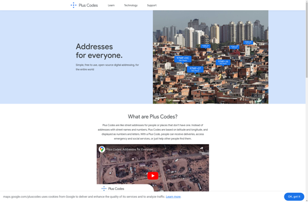
plus.codes is an open-source addressing system developed by Google that assigns a short alphanumeric code to any location on earth. It can be used for addressing and navigation purposes.Some key features of plus.codes:Easy to use, remember and communicate - plus codes are much shorter and simpler than street addressesWorks offline...
Maptitude is a desktop Geographic Information System (GIS) software developed by Caliper Corporation. It provides tools for creating interactive maps, performing spatial analysis, managing geographic data, and generating reports.Key features of Maptitude include:Interactive mapping - Allows users to create professional-quality maps with layers, labels, scale bars, north arrows, etc.Data visualization...
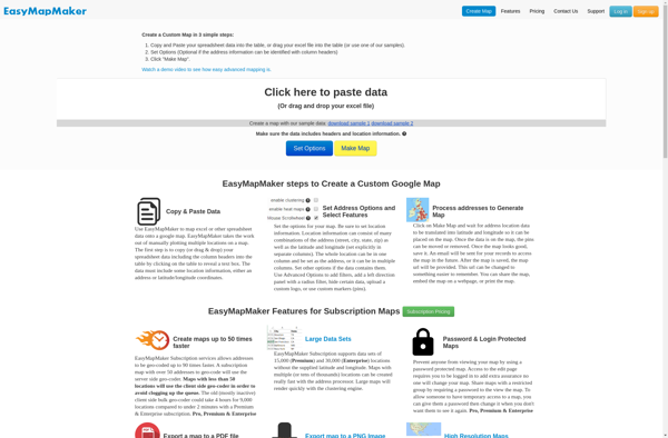
EasyMapMaker is a desktop application used to design interactive maps for web and mobile devices. With an intuitive drag-and-drop interface, EasyMapMaker makes it easy for anyone to create custom maps embedded with rich data.Key features include:Import vector data such as points, lines, polygons, imagery, and terrain from files, databases or...
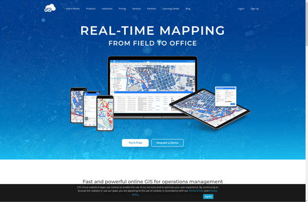
GIS Cloud is a feature-rich, cloud-based geographic information system (GIS) software designed for organizations of all sizes. It enables users to easily create, edit, analyze, and publish geospatial data through an intuitive web interface and mobile apps.Key capabilities and benefits of GIS Cloud include:Interactive web map building with access to...
Pixel Map Generator is a free online application that makes it easy for anyone to create customized pixelated images, maps, game assets, and more. With its user-friendly interface, you can easily draw and edit pixel art without needing any artistic or technical skills.To start designing pixel art, you simply open...
Microsoft Streets and Trips is a discontinued mapping and travel planning desktop software that was available for Windows operating systems. It was first released in 1985 under the name Frandmeier TND Streets and Trips. Microsoft acquired it in 1994 and published it under their brand name.Streets and Trips offered features...
Tripblan is a user-friendly, end-to-end travel planning and booking platform suitable for all types of travelers. With Tripblan, users can:Easily search, compare, and book flights, hotels, vacation rentals, tours & activities, and more across thousands of sitesGet price drop alerts and exclusive travel deals to save moneyCreate customized trip itineraries...
Geoconcept is a desktop geographic information system (GIS) software designed for working with geospatial data and making maps. It provides a wide range of features and tools for creating, editing, analyzing, visualizing, and publishing geographic information.With Geoconcept, users can import, manage, and analyze various types of spatial data including vector...
Azimap GIS is an open-source geographic information system (GIS) software application used to create, edit, visualize, analyze and publish geospatial information. It enables users to work with both raster and vector data, including the ability to create, edit and manage spatial datasets.Key features of Azimap GIS include:Interactive map display with...
Flash Earth is a free, interactive 3D globe developed using Adobe Flash. It allows users to visually explore the Earth through high-resolution satellite imagery and aerial photography.Some key features of Flash Earth include:Seamless, zoomable maps from space down to street level3D terrain showing topological features like mountains and valleysOcean floor...
Galileo Offline Maps is a free and open-source offline maps application developed by Galileo Developers Community. It allows users to download OpenStreetMap maps for offline use and access them later without an internet connection. The application works across Windows, macOS, Linux, Android and iOS platforms.Some key features of Galileo Offline...
OpenMaps is an open source web mapping platform built on top of OpenStreetMap data. It allows users to create custom maps by drawing on top of existing maps and adding their own annotations, text labels, and lines/shapes. These custom maps can then be exported, embedded on websites, or shared publicly...
TdhGIS is an open-source geographic information system (GIS) software application developed by Terre des hommes (Tdh), an international NGO focused on humanitarian aid for children. It is designed specifically for public health professionals to map and analyze data to improve programs and policies.Key features of TdhGIS include:Interactive and dynamic mapping...
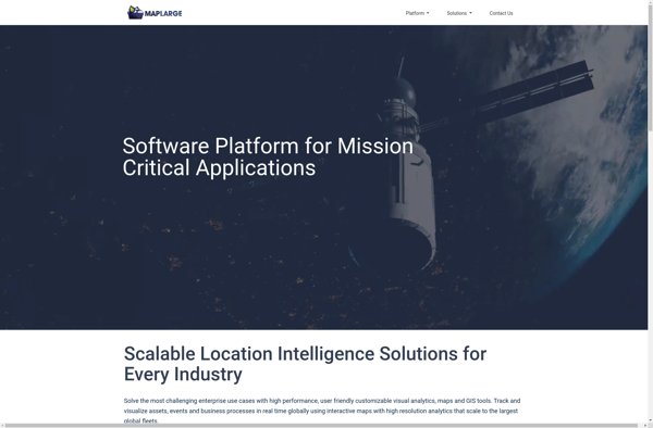
MapLarge is an intuitive and flexible mind mapping and brainstorming application. As an open-source, cross-platform solution, MapLarge can be used on Windows, Mac, Linux, iOS, and Android devices.At its core, MapLarge allows users to visually organize ideas, notes, tasks, and concepts into node-based maps. Nodes can contain text, images, links,...
UMP-pcPL is an open-source, cross-platform packet manipulation and traffic generation software designed for testing and benchmarking networks and devices. It provides a suite of tools that allow users to construct custom packets, replay traffic from packet captures, generate traffic and flows, and assess performance.Some key features of UMP-pcPL include:Constructing custom...
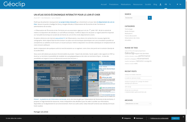
Geoclip is a user-friendly software solution for creating multimedia-enhanced interactive maps, timelines, and virtual tours. Its key features include:Intuitive drag-and-drop interface for adding and arranging locations, descriptions, images, videos, audio clips, hyperlinks, and more onto customizable maps or timelinesVariety of base maps including road, terrain, satellite, and open street mapsOptions...
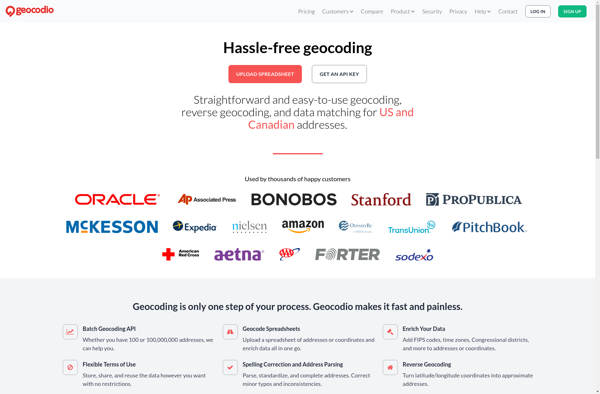
Geocodio is a geocoding and reverse geocoding web service API designed to help developers add location data and mapping capabilities to their applications. The API converts street addresses and locations into geographic coordinates (latitude and longitude) and vice versa through a simple HTTP request interface.Some key features of Geocodio include:Geocoding...
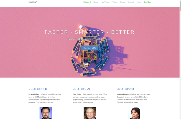
Manifold is a specialized 3D modeling and surface design software for Windows. It excels at creating smooth, flowing, organic 3D forms and manipulated surfaces for artistic purposes.Some key features of Manifold include:Powerful tools for sculpting, bending, twisting, and deforming surfacesIntuitive interface for manipulating control vertices and polygonsAdvanced smoothing, filleting, and...
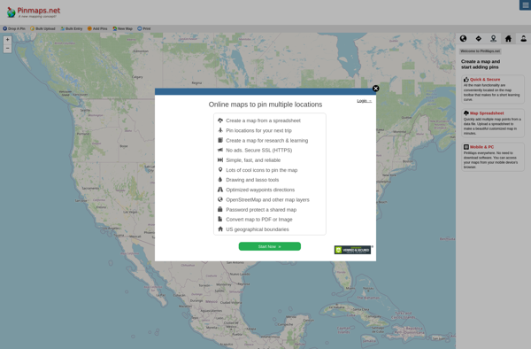
Pinmaps.net is a powerful yet user-friendly web-based mapping application. It allows users to create custom maps with pins, markers, lines, shapes, and rich data popups. Some key features include:Intuitive drag-and-drop interface to add pins, shapes, etc.Custom markers with images and iconsInfo windows and popups to display data and media for...
3geonames is an open source gazetteer web service that provides access to a large database of geographical names and features from around the world. It allows users to search for places and locations by name, postal code, IP address and other identifiers to get relevant geographic data.Some of the key...
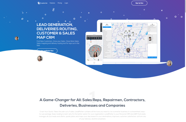
Lead Plotter is a comprehensive sales and marketing automation platform designed to help teams manage the entire lead-to-customer journey. It provides an intuitive drag-and-drop interface to visualize sales funnels and map out customized workflows to nurture leads and guide them through the buyer's journey.Key features include:Visual campaign builder to create...
GeoCommons is an user-friendly, open source mapping and spatial data platform. It provides a web-based interface that allows non-technical users to easily create interactive maps and perform basic spatial analysis without needing to know how to code.Some key features of GeoCommons include:Intuitive drag and drop interface to make custom web...
MapDroyd is a free, open-source map viewing and editing app for Android. It allows users to download map data for offline use and view, create, and edit maps when internet connectivity is limited.Key features of MapDroyd include:Ability to download OpenStreetMap data for offline map viewingSupport for standard mapping features like...
ProAlign is an advanced multiple sequence alignment software designed specifically for aligning protein, RNA and DNA sequences. It employs powerful alignment algorithms, including ClustalW, MUSCLE, MAFFT, and Kalign to produce highly accurate sequence alignments.One of the key features of ProAlign is its ability to align both closely-related and highly divergent...
CMaps Analytics is a business intelligence and data visualization platform designed to help companies unlock insights from their data. Some key capabilities and benefits include:Intuitive drag-and-drop interface to build interactive dashboards and reports without codingConnect to various data sources such as SQL, NoSQL databases, cloud apps, etc.Perform ad hoc analysis...
GeoFlow is a no-code platform used to create interactive maps and spatial data visualizations. It provides an easy-to-use visual interface that allows users to import, analyze, and visualize location data without writing any code.Some key features of GeoFlow include:Intuitive drag-and-drop interface to build maps and dashboardsVariety of customizable and interactive...
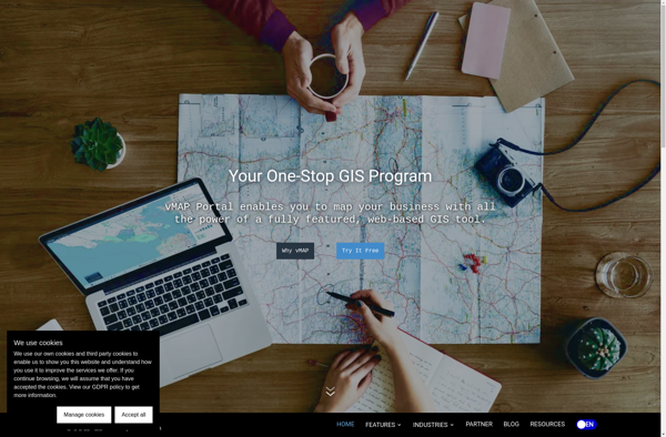
vMAP Portal is a cloud-based network topology and visualization platform used by IT teams to gain insight into their network infrastructures. It provides the following key capabilities:Automated discovery of all devices on both physical and virtual networks, including routers, switches, servers, virtual machines, firewalls, and more.Interactive network topology maps showing...
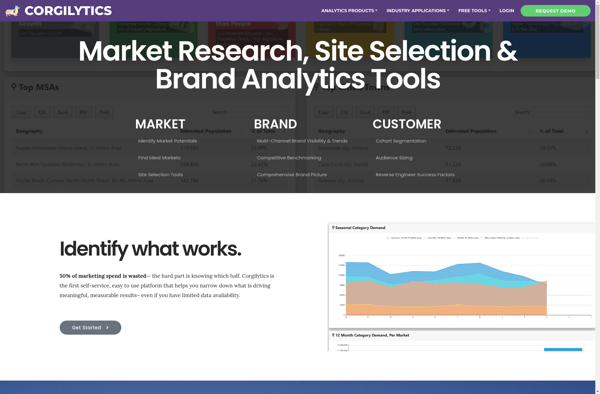
Corgilytics is a revolutionary data analytics and business intelligence platform built from the ground up to cater to the needs of corgi owners and enthusiasts. As a sophisticated yet easy-to-use tool, Corgilytics empowers corgi owners to better understand and optimize the health, happiness, and wellbeing of their favorite short-legged canine...
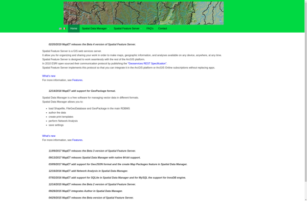
Spatial Feature Server (SFS) is an open-source web mapping software designed for publishing, editing and visualizing spatial data. It is built on open standards like WFS and WMS published by the Open Geospatial Consortium (OGC).Key capabilities and benefits of Spatial Feature Server include:Publishing vector and raster data as web servicesSupport...
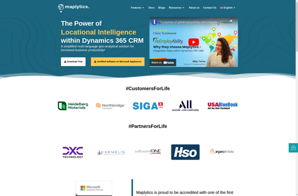
Maplytics is a location analytics platform designed to help businesses leverage geographic data to gain powerful and actionable insights. It enables users to visualize various location datasets such as points of interest, customer data, sales transactions, etc. on interactive maps.Key capabilities and benefits of Maplytics include:Intuitive interactive maps to visualize...