Leaflet

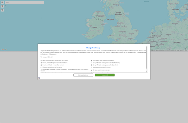
Leaflet: Lightweight Interactive Maps
Open-source JavaScript library for mobile-friendly interactive maps, simple to use and customizable
What is Leaflet?
Leaflet is an open-source JavaScript library for building web mapping applications. Here is a more detailed overview:
- Leaflet is designed with simplicity, performance and usability in mind. It offers easy integration with other mapping libraries and APIs.
- The library is extremely lightweight at only about 38 KB, which allows for super fast loading times. This makes it ideal for mobile applications.
- Despite its small size, Leaflet has all the mapping features most developers need, like layers, markers, popups, geometric shapes, panning, zooming and more. It supports both raster and vector data.
- Customization is a key priority. The architecture provides ample flexibility to customize maps exactly how you want through CSS, simple configuration options, custom map layers and more.
- Leaflet works across all major desktop and mobile platforms like iOS, Android, Firefox OS, Chrome OS and more. It leverages HTML5 and CSS3 on modern browsers while still being accessible on older ones.
- There is fantastic documentation with live editable examples. This makes it easy for developers at all levels to get up and running.
- The library has a very active community developing plugins for added capabilities. It is also well-maintained by its creator Vladimir Agafonkin and hundreds of contributors.
In summary, Leaflet strikes an optimal balance in terms of functionality, weight, simplicity and customization options. It enables building of fast, beautiful, interactive maps with minimal effort.
Leaflet Features
Features
- Interactive maps
- Mobile support
- Customizable markers/icons
- Tile layers
- GeoJSON layers
- Vector layers
- Popups/tooltips
- Zoom/pan controls
- Multi-touch gestures
- Animated zooming
- Custom plugins
Pricing
- Open Source
Pros
Cons
Official Links
Reviews & Ratings
Login to ReviewThe Best Leaflet Alternatives
View all Leaflet alternatives with detailed comparison →
Top Development and Mapping and other similar apps like Leaflet
Here are some alternatives to Leaflet:
Suggest an alternative ❐Google Maps

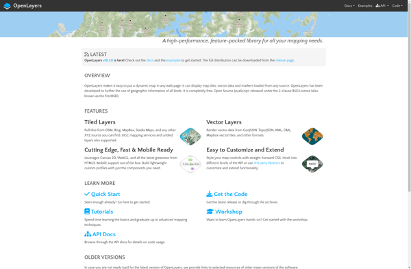
OpenLayers
Modest Maps

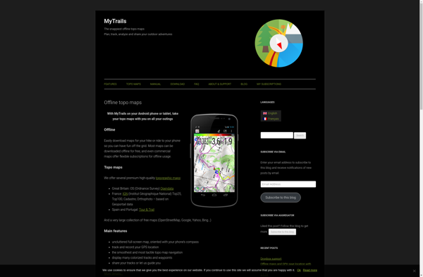
MyTrails
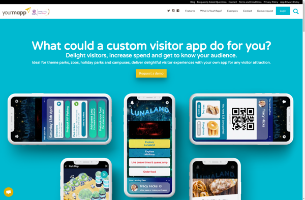
YourMapp
Bing Maps 3D
Mapotic

Uebermaps
Arcane Maps
Apple Maps

TransforMap

Map3
TerraExplorer
MapQuest

Planet Labs

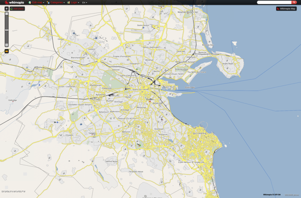
Wikimapia
Yandex.Navigator

Showmystreet
Universal Maps Downloader

Badger Maps

TomTom MyDrive

Guru Maps
Mapline

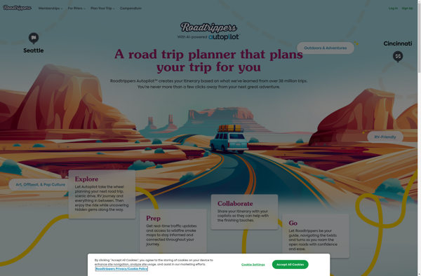
Roadtrippers
Windows Maps
Pixel Map Generator
PocketMaps
MapSphere

MapLibre
MapSVG
OpenMaps
GMap.NET
GPS Navigator with Offline Maps

Google Maps Go
Yahoo! Maps

Emerillon
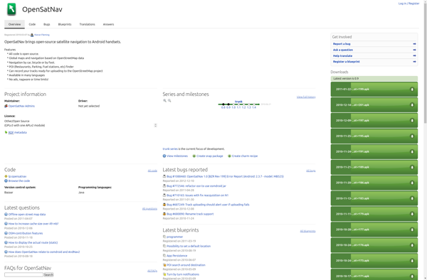
OpenSatNav
GeoFlow
Jawg Maps
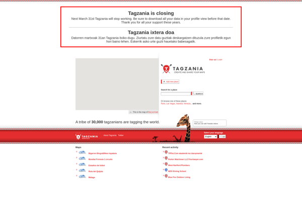
Tagzania
MapQuery

Rasters.io
Mappy
Doko Maps
Stadia Maps