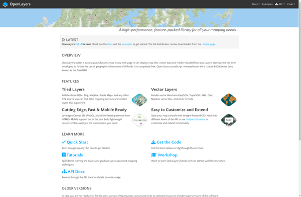
OpenLayers is an open source JavaScript library for displaying map data in web browsers. It provides an API for building rich web-based geographic applications similar to Google Maps.
OpenLayers: An Open Source JavaScript Library for Map Data Display
Open source JavaScript library for displaying map data in web browsers, providing an API for building rich geographic applications similar to Google Maps.
What is OpenLayers?
OpenLayers is an open source JavaScript library for displaying map data in web browsers. It provides an API for building rich web-based geographic applications.
Some key features of OpenLayers include:
Supports displaying map tiles and vector data from any source
Includes zooming, panning, layer switching controls out of the box
Extensive API for programatically interacting with the map
Mobile-friendly and responsive design
Modular architecture makes it easy to extend and customize
Actively maintained and supported open source project
OpenLayers makes it easy to embed dynamic maps in web pages with support for standards-based technologies like HTML5, CSS3 and JavaScript. It can be used to build mapping applications similar to Google Maps, with the benefit of OpenLayers being free and open source.
Overall, OpenLayers is a feature-rich library for displaying interactive maps and spatial data in any web application.
OpenLayers Features
Features
Display map data from multiple sources
Support for various mapping projections
Navigation controls like zooming and panning
Overlay vector data on maps
Event handling for map interactions
Customizable map controls
Pricing
Open Source
Pros
Open source and free to use
Active development community
Good documentation and examples
Works across modern browsers
Customizable and extensible
Large collection of plugins
Cons
Steep learning curve
Not as full featured as commercial alternatives
Requires writing custom code for complex applications
Mapbox Studio is a powerful desktop application for designing custom map styles. It provides a graphical user interface that allows you to visually style vector tiles created with Mapbox tools and services.Some key features of Mapbox Studio include:Import vector tilesets created with Mapbox tools like Mapbox Streets and SatelliteStyle map...
ArcGIS is a robust and comprehensive geographic information system (GIS) software developed by Esri. It provides a range of capabilities for creating, managing, analyzing, and sharing geospatial data and maps across desktop, mobile, web, and enterprise systems.Key features of ArcGIS include:Advanced geospatial analysis tools for proximity analysis, geocoding, routing, terrain...
Mapotic is an open-source, self-hosted alternative to Mapbox that provides developers and designers with tools for creating interactive maps. Some key features of Mapotic include:Ability to design custom base maps with Mapnik and CartoCSSSupport for overlaying vector and raster map tiles from various sourcesTools for visualizing, analyzing, and processing geospatial...
Map3 is a versatile mind mapping and brainstorming software used to visually organize ideas, concepts, notes, and tasks. With Map3, users can create flexible and free-flowing maps to connect thoughts and information.Some key features and capabilities of Map3 include:Tree, org chart, flowchart map views to structure informationTagging and searching maps...
Felt is an open-source web-based application for kanban-style project management and task tracking. It provides a visual interface for organizing tasks into pipelines represented as boards, lists, and cards.Some key features of Felt include:Boards to organize projects and track progress across different stagesCustom lists within each board to categorize tasks...
Leaflet is an open-source JavaScript library for building web mapping applications. Here is a more detailed overview:- Leaflet is designed with simplicity, performance and usability in mind. It offers easy integration with other mapping libraries and APIs.- The library is extremely lightweight at only about 38 KB, which allows for...
OpenMapTiles is an open-source project that provides software and data to self-host various mapping services and capabilities. Some of the key components and capabilities include:Vector and raster map tiles - OpenMapTiles provides scripts and data to generate your own map tile sets including OpenStreetMap data. This allows hosting them yourself...
GeoSheets is a cloud-based geographic information system (GIS) software designed for creating interactive maps and analyzing spatial data. Some key features of GeoSheets include:Intuitive drag-and-drop interface to import, visualize and edit geospatial data from a variety of sources like Excel, CSVs, databases, APIs etc.Powerful yet easy-to-use tools for geocoding, spatial...
The Google Maps API for Business is a paid version of the Google Maps API targeted at business users. It provides additional features and services beyond the free Google Maps API, such as:Custom styling options - Businesses can customize the look and feel of maps to match their brand.Enhanced data...
GRASS GIS (Geographic Resources Analysis Support System) is a free and open source geographic information system (GIS) software suite used for geospatial data management, analysis, graphics and maps production, spatial modeling, and visualization.Some key features of GRASS GIS include:Powerful raster, vector, and geospatial processing tools for analysis and data conversionAbility...
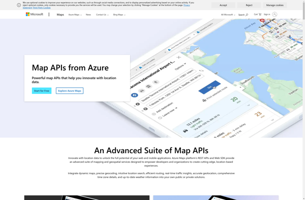
The Bing Map API by Microsoft is a robust mapping platform that enables developers to integrate interactive maps and spatial data into web or mobile applications. Some key capabilities include:Interactive map controls like panning, zooming, and map stylingAerial, road, and hybrid map viewsGeocoding to convert addresses to coordinates and vice...
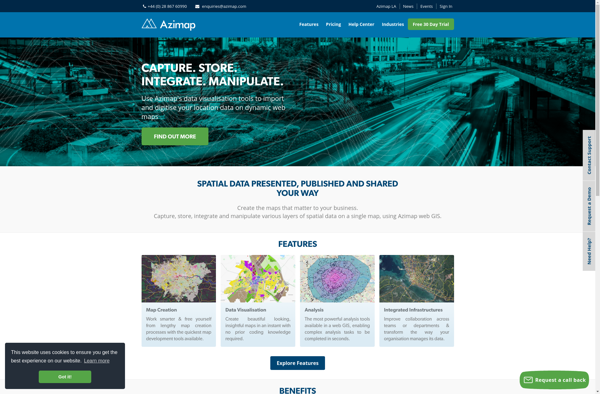
Azimap GIS is an open-source geographic information system (GIS) software application used to create, edit, visualize, analyze and publish geospatial information. It enables users to work with both raster and vector data, including the ability to create, edit and manage spatial datasets.Key features of Azimap GIS include:Interactive map display with...
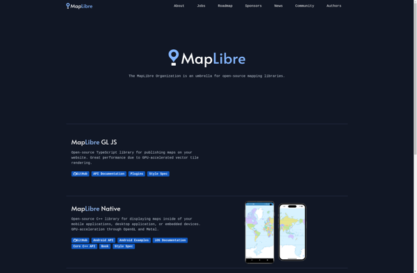
MapLibre is an open-source, community-led mapping platform designed as an alternative to proprietary solutions like Google Maps. Based on Leaflet and Mapbox GL JavaScript libraries, MapLibre provides embeddable interactive maps that can be customized via a JavaScript API or CSS.Key features of MapLibre include:Interactive slippy maps with panning, zooming, markers,...
TdhGIS is an open-source geographic information system (GIS) software application developed by Terre des hommes (Tdh), an international NGO focused on humanitarian aid for children. It is designed specifically for public health professionals to map and analyze data to improve programs and policies.Key features of TdhGIS include:Interactive and dynamic mapping...
MapTiler Cloud is a cloud-based solution that allows users to create, style, optimize and deliver map tiles for web and mobile applications. Some key features include:Upload your own geospatial data like satellite/aerial imagery, DEMs, shapefiles, KMLs etc.Tiling engine that efficiently slices geospatial data into map tiles for zoom levelsMap styling...