Mapotic is an open-source, self-hosted alternative to Mapbox that provides tools for creating interactive maps. It allows users to design custom maps, overlay vector and raster tiles, analyze geospatial data, and build location-based web and mobile applications.
Mapotic: Open-Source Map Creation and Analysis Tool
Create custom interactive maps with vector and raster tiles, analyze geospatial data, and build location-based web and mobile applications - an open-source alternative to Mapbox.
What is Mapotic?
Mapotic is an open-source, self-hosted alternative to Mapbox that provides developers and designers with tools for creating interactive maps. Some key features of Mapotic include:
Ability to design custom base maps with Mapnik and CartoCSS
Support for overlaying vector and raster map tiles from various sources
Tools for visualizing, analyzing, and processing geospatial data
APIs and SDKs for building location-aware web and mobile applications
Plugin architecture for extending functionality
Self-hosted, so you have full control over your data and applications
As an open-source platform, Mapotic provides greater flexibility and customization options compared to proprietary solutions like Mapbox. Developers and organizations with sensitivity around hosting maps and data externally could benefit from having Mapotic run on internal infrastructure. The trade-off is that self-hosting requires more technical expertise related to GIS and server management.
Google Maps is a web mapping platform and consumer application offered by Google. It offers satellite imagery, aerial photography, street maps, 360° interactive panoramic views of streets, real-time traffic conditions, and route planning for traveling by foot, car, bicycle and air, or public transportation.Key features of Google Maps include:Interactive street...
Google My Maps is a free customizable mapping software from Google. It allows anyone to create maps embedded with locations, lines, shapes, and text notes. My Maps provides a simple yet powerful interface to plot points on a map, connect them into routes, delineate areas or regions, and attach descriptions.Some...
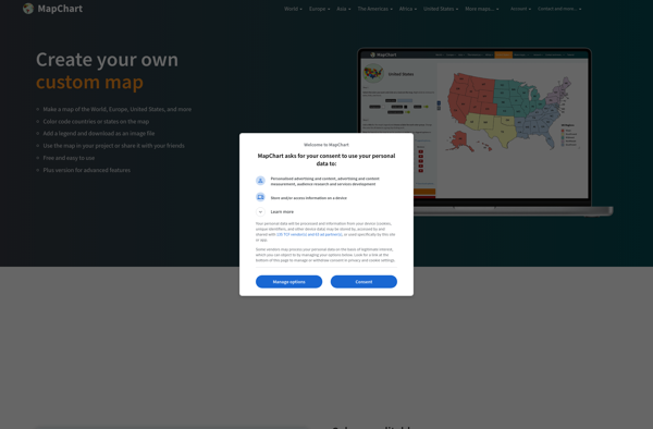
Map Chart is a powerful yet easy-to-use data visualization software designed specifically for creating customized maps. It enables users to visualize various datasets tied to geographic locations on insightful choropleth, bubble and marker maps.The software provides a drag-and-drop interface to map any data across countries, states, regions, postal codes and...
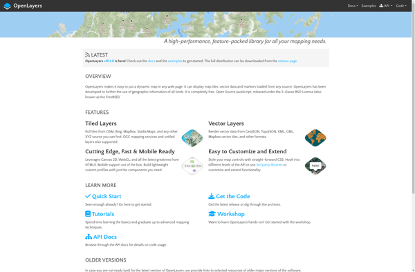
OpenLayers is an open source JavaScript library for displaying map data in web browsers. It provides an API for building rich web-based geographic applications.Some key features of OpenLayers include:Supports displaying map tiles and vector data from any sourceIncludes zooming, panning, layer switching controls out of the boxExtensive API for programatically...
Mapbox Studio is a powerful desktop application for designing custom map styles. It provides a graphical user interface that allows you to visually style vector tiles created with Mapbox tools and services.Some key features of Mapbox Studio include:Import vector tilesets created with Mapbox tools like Mapbox Streets and SatelliteStyle map...
HERE WeGo is a free map and navigation app developed by HERE Technologies for iOS and Android devices. It allows users to navigate by car, public transportation, foot or bike using turn-by-turn voice guided directions. Key features of HERE WeGo include:Offline maps - Download maps to your device so you...
OpenGeo Suite is a comprehensive open source geospatial software stack used for building spatial data infrastructures and deploying web mapping applications. It brings together key open source geospatial components like PostGIS, GeoServer, GeoWebCache, and GeoExplorer into a single integrated suite.Some key capabilities and features of OpenGeo Suite include:PostGIS for spatial...
YourMapp is an easy-to-use mind mapping and brainstorming software. It enables individuals and teams to visually organize ideas, concepts, notes, images, documents and internet links in flexible non-linear mind maps.Key features include:Intuitive drag-and-drop interface for quickly creating mind mapsHierarchical trees to organize topics into parent/child relationshipsNotes, links, images and documents...
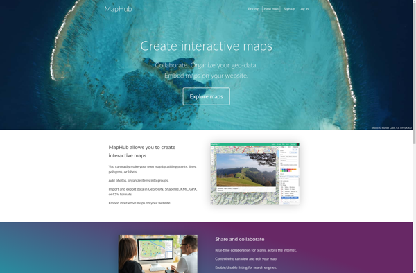
MapHub is an open-source, customizable mapping and data visualization platform. It provides users with an intuitive interface to create interactive maps, heatmaps, and network graphs to visualize spatial data, identify patterns and trends, and gain actionable insights.Some key features of MapHub include:Importing and visualizing geospatial data sets like Excel spreadsheets,...
Leaflet is an open-source JavaScript library for building web mapping applications. Here is a more detailed overview:- Leaflet is designed with simplicity, performance and usability in mind. It offers easy integration with other mapping libraries and APIs.- The library is extremely lightweight at only about 38 KB, which allows for...
GeoServer is an open source server for sharing geospatial data. It is the reference implementation of the Open Geospatial Consortium (OGC) Web Feature Service (WFS) and Web Coverage Service (WCS) standards, as well as a high performance certified compliant Web Map Service (WMS). GeoServer forms a core component of the...
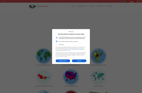
Paintmaps.com is a free online painting application that runs directly in your web browser. It allows users to create digital drawings and paintings using a range of brushes, colors, layers, and other tools.Some key features of Paintmaps.com include:Intuitive canvas interface for drawing and paintingVariety of brush types including pencils, pens,...
IndieMapper is an open source, offline-capable web map editor tailored for field mappers and humanitarians. It provides an intuitive and easy-to-use interface for collecting, editing, analyzing and exporting geographic data without an internet connection.Some key features of IndieMapper include:Works completely offline for areas with limited connectivityOpenStreetMap-based base maps with global...
OpenMapTiles is an open-source project that provides software and data to self-host various mapping services and capabilities. Some of the key components and capabilities include:Vector and raster map tiles - OpenMapTiles provides scripts and data to generate your own map tile sets including OpenStreetMap data. This allows hosting them yourself...
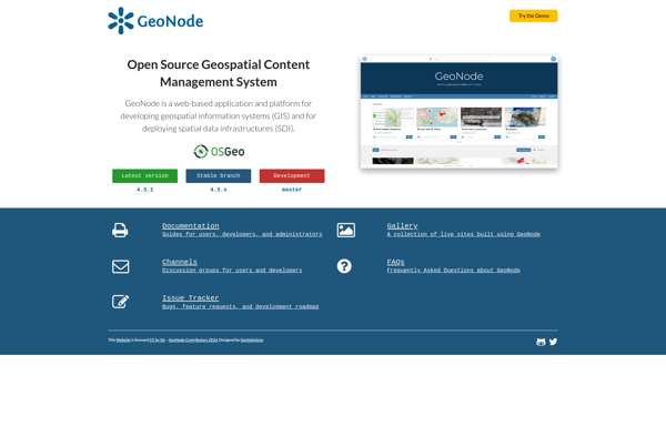
GeoNode is a free and open source platform built with Django that facilitates the creation, sharing, and collaborative use of geospatial data. It provides a standardized way to publish spatial datasets and metadata, allowing researchers, organizations, and citizens to easily share maps, data, and stories online.Some key features of GeoNode...
Google Maps Engine is a cloud-based mapping platform launched by Google in 2012. It allows users to store, visualize and share geographic data by creating custom maps.Some key features of Google Maps Engine include:Ability to upload spreadsheet data, KML files, geoJSON files to create layers on a mapConnect to external...
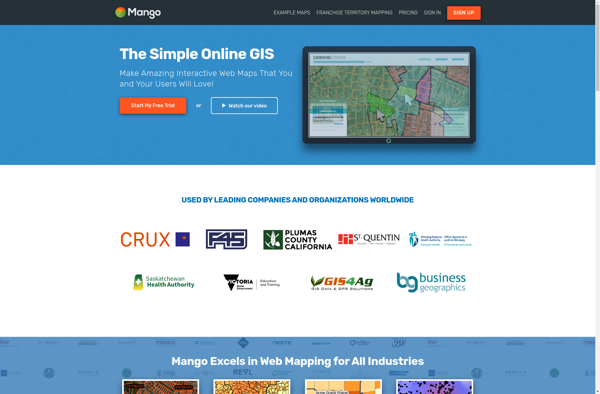
MangoMap is an intuitive yet powerful online mind mapping and brainstorming software. It enables individuals and teams to visually organize ideas, concepts, notes, tasks, and more into flexible and customizable maps.Key features of MangoMap include:Simple and easy-to-use interface - No need for training, anyone can start creating maps right awayReal-time...
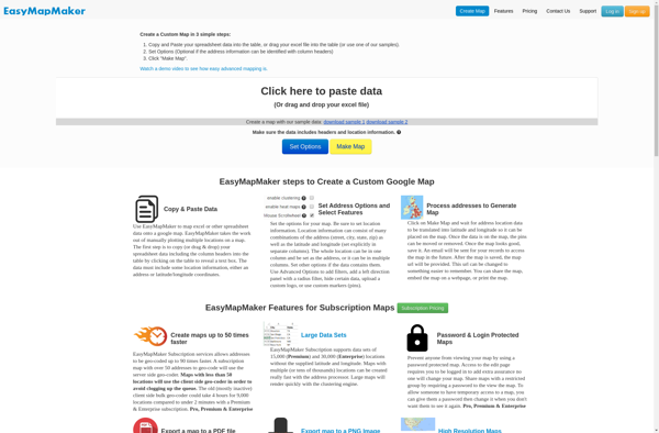
EasyMapMaker is a desktop application used to design interactive maps for web and mobile devices. With an intuitive drag-and-drop interface, EasyMapMaker makes it easy for anyone to create custom maps embedded with rich data.Key features include:Import vector data such as points, lines, polygons, imagery, and terrain from files, databases or...
Geoclip is a user-friendly software solution for creating multimedia-enhanced interactive maps, timelines, and virtual tours. Its key features include:Intuitive drag-and-drop interface for adding and arranging locations, descriptions, images, videos, audio clips, hyperlinks, and more onto customizable maps or timelinesVariety of base maps including road, terrain, satellite, and open street mapsOptions...
MapTiler Cloud is a cloud-based solution that allows users to create, style, optimize and deliver map tiles for web and mobile applications. Some key features include:Upload your own geospatial data like satellite/aerial imagery, DEMs, shapefiles, KMLs etc.Tiling engine that efficiently slices geospatial data into map tiles for zoom levelsMap styling...
TomTom Maps APIs are a suite of RESTful APIs that give developers access to TomTom's industry-leading mapping and traffic data. The APIs allow developers to tap into TomTom's global database of maps, routing intelligence, search capability, and real-time traffic information.Some key features of TomTom Maps APIs include:Routing API - Calculates...
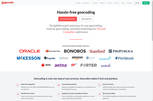
Geocodio is a geocoding and reverse geocoding web service API designed to help developers add location data and mapping capabilities to their applications. The API converts street addresses and locations into geographic coordinates (latitude and longitude) and vice versa through a simple HTTP request interface.Some key features of Geocodio include:Geocoding...
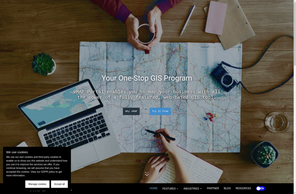
vMAP Portal is a cloud-based network topology and visualization platform used by IT teams to gain insight into their network infrastructures. It provides the following key capabilities:Automated discovery of all devices on both physical and virtual networks, including routers, switches, servers, virtual machines, firewalls, and more.Interactive network topology maps showing...
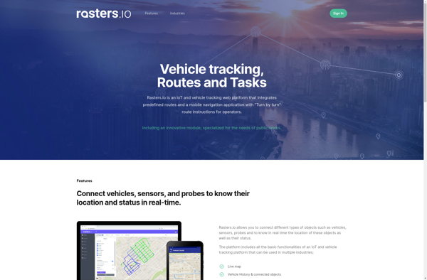
Rasters.io is an online graphic design and image editing application. It provides an extensive set of tools for working with raster graphics and images in a web browser without needing to install any software.Some key features of Rasters.io include:Intuitive drawing and painting tools like brushes, pencils, shapes, text, and morePowerful...
MAPCAT.com is an intuitive yet powerful online map creation and sharing platform. It enables anyone to quickly and easily create custom interactive maps, without needing any design or technical skills.With MAPCAT, users can add markers, lines, shapes, and custom icons to a map. Rich data can be connected to map...
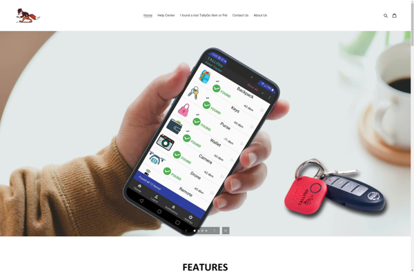
TallyGo is an intuitive yet powerful cloud-based accounting and bookkeeping solution designed specifically for small businesses and entrepreneurs. It provides a user-friendly way for non-accountants to track their finances, manage invoices and payments, categorize business transactions, generate insightful financial reports, and stay on top of taxes.Key features of TallyGo include:Income...
The Map Kit Framework is an iOS and macOS SDK that allows developers to embed interactive maps and location-based services into their applications with ease. Developed by Apple, it integrates tightly with Apple's platforms and devices, providing efficient use of system resources.Some key capabilities offered by Map Kit include:Displaying standard,...