vMAP Portal is a cloud-based network topology and visualization tool that allows users to discover, map, and manage their network infrastructure. It provides automated network discovery and mapping, customizable topology views, API access, alert notifications, and integration wit
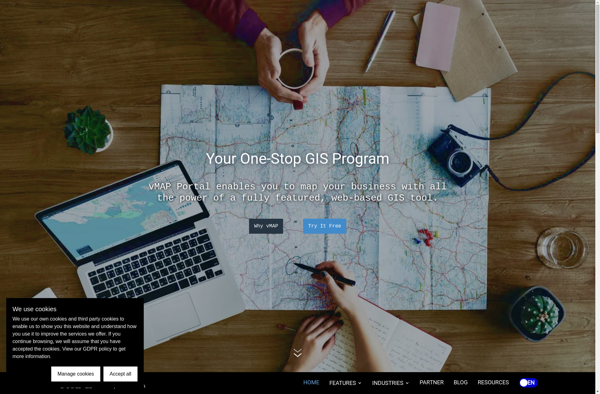
vMAP Portal: Cloud-based Network Topology and Visualization Tool
Discover, map, and manage your network infrastructure with vMAP Portal, a cloud-based tool offering automated discovery, customizable views, API access, alert notifications, and integration with other IT systems.
What is VMAP Portal?
vMAP Portal is a cloud-based network topology and visualization platform used by IT teams to gain insight into their network infrastructures. It provides the following key capabilities:
Automated discovery of all devices on both physical and virtual networks, including routers, switches, servers, virtual machines, firewalls, and more.
Interactive network topology maps showing how different infrastructure components connect and communicate.
Customizable topology views to focus on different areas like cloud environments, locations, applications, traffic flows.
Detailed inventory reporting on all discovered infrastructure assets across the network.
Integrations with monitoring, automation, and IT systems management tools.
Role-based access control to delegate permissions across IT teams.
REST APIs and data export to leverage network infrastructure data for custom applications or analytics.
Alerts and notifications when network changes occur or infrastructure health issues arise.
vMAP Portal gives IT teams a centralized view of the network topology and components for management, monitoring, planning, and troubleshooting purposes. Its automated discovery capabilities also save teams significant time compared to traditional manual documentation approaches.
QGIS is a professional open-source Geographic Information System (GIS) software for working with maps and geospatial data. It is licensed under the GNU Public License. QGIS allows you to view, edit, analyze, process, and visualize spatial data in various formats including shapefiles, GeoTIFFs, PostGIS, SpatiaLite, GPX, and more. It supports...
Mapbox Studio is a powerful desktop application for designing custom map styles. It provides a graphical user interface that allows you to visually style vector tiles created with Mapbox tools and services.Some key features of Mapbox Studio include:Import vector tilesets created with Mapbox tools like Mapbox Streets and SatelliteStyle map...
ArcGIS is a robust and comprehensive geographic information system (GIS) software developed by Esri. It provides a range of capabilities for creating, managing, analyzing, and sharing geospatial data and maps across desktop, mobile, web, and enterprise systems.Key features of ArcGIS include:Advanced geospatial analysis tools for proximity analysis, geocoding, routing, terrain...
CartoDB is an open source platform for building location intelligence applications. It provides capabilities for spatial data storage, visualization, analysis, and publishing. Key features include:User-friendly drag and drop interface for creating interactive maps and dashboardsVisualization of geospatial datasets such as points, lines, and polygonsOptions for customizing maps with different basemaps,...
Mapotic is an open-source, self-hosted alternative to Mapbox that provides developers and designers with tools for creating interactive maps. Some key features of Mapotic include:Ability to design custom base maps with Mapnik and CartoCSSSupport for overlaying vector and raster map tiles from various sourcesTools for visualizing, analyzing, and processing geospatial...
Map3 is a versatile mind mapping and brainstorming software used to visually organize ideas, concepts, notes, and tasks. With Map3, users can create flexible and free-flowing maps to connect thoughts and information.Some key features and capabilities of Map3 include:Tree, org chart, flowchart map views to structure informationTagging and searching maps...
Felt is an open-source web-based application for kanban-style project management and task tracking. It provides a visual interface for organizing tasks into pipelines represented as boards, lists, and cards.Some key features of Felt include:Boards to organize projects and track progress across different stagesCustom lists within each board to categorize tasks...
Equator is a cloud-based digital asset management (DAM) and brand management platform used by global companies to easily manage their digital assets. It enables teams to efficiently organize, distribute, collaborate on, and track usage of brand assets from one central place.Key features of Equator include:Cloud-based storage for all digital assetsPowerful...
Mapline is an open-source, self-hosted web application that allows users to create custom maps for free. It is an alternative to proprietary services like Google My Maps.Some key features of Mapline include:Ability to add markers, lines, shapes, and text notes to your mapsSupport for multiple layers on a single mapOptions...
TdhGIS is an open-source geographic information system (GIS) software application developed by Terre des hommes (Tdh), an international NGO focused on humanitarian aid for children. It is designed specifically for public health professionals to map and analyze data to improve programs and policies.Key features of TdhGIS include:Interactive and dynamic mapping...