Equator

Equator

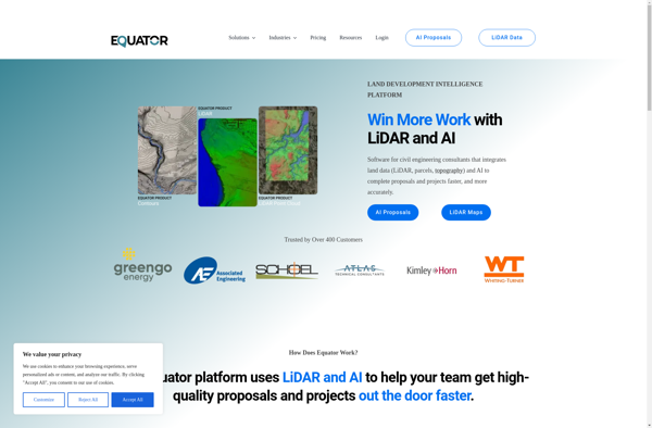
Equator is a digital asset management and brand management software that helps companies organize, distribute, and track their digital assets. It provides features like cloud-based storage, automated workflow, permissions controls, and analytics.
Equator image
asset-management brand-management cloud-storage workflow-automation

Equator: Digital Asset Management and Brand Management Software

Equator helps companies organize, distribute, and track their digital assets with features like cloud-based storage, automated workflow, permissions controls, and analytics.

What is Equator?

Equator is a cloud-based digital asset management (DAM) and brand management platform used by global companies to easily manage their digital assets. It enables teams to efficiently organize, distribute, collaborate on, and track usage of brand assets from one central place.

Key features of Equator include:

  • Cloud-based storage for all digital assets
  • Powerful search to quickly find assets
  • Customized permission controls and access
  • Automated workflow to review and approve assets
  • Asset analytics to track usage and trends
  • APIs and integrations with other business tools
  • Collaboration features to work across teams and with external partners
  • Mobile access to assets from anywhere

Equator helps companies gain control and get the most value out of their digital assets, ensuring brand consistency and accelerating content velocity across the organization. It's used by leading brands in industries like consumer goods, retail, technology, financial services, and more.

Equator Features

Features

  1. Cloud-based digital asset management
  2. Automated workflow
  3. Permissions controls
  4. Analytics
  5. Brand portal
  6. Version control
  7. Collaboration tools
  8. Integrations
  9. AI-powered search
  10. Custom metadata
  11. Asset lifecycle management

Pricing

  • Subscription-Based

Pros

Intuitive interface

Robust feature set

Flexible pricing

Strong security

Global CDN

Compliance certifications

Great customer support

Cons

Can be complex for basic users

Limited mobile access

No offline editing


The Best Equator Alternatives

Top Office & Productivity and Digital Asset Management and other similar apps like Equator


Global Mapper icon

Global Mapper

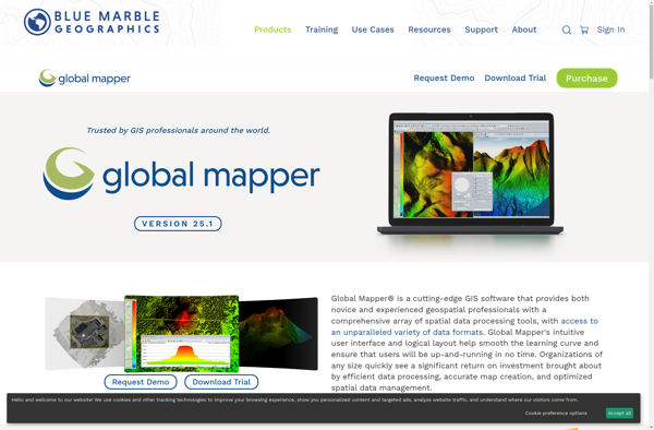
Global Mapper is a powerful and easy-to-use Geographic Information System (GIS) software application for working with spatial data. Developed by Blue Marble Geographics, it supports a wide range of raster, vector, and elevation data formats allowing users to integrate spatial data from different sources for viewing, editing, analysis and conversion.Key...
Global Mapper image
KML viewer and converter icon

KML viewer and converter

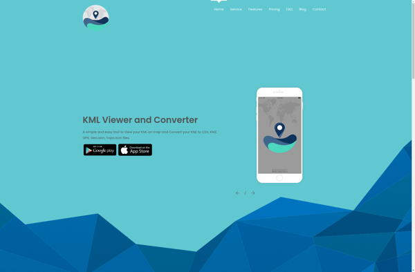
KML viewer and converter is a lightweight desktop application for working with geographic data in Keyhole Markup Language (KML) format. KML is an XML-based format used to display geographic data in applications such as Google Earth.With the KML viewer and converter, you can easily open and view the contents of...
KML viewer and converter image
MICRODEM icon

MICRODEM

MICRODEM is an open source Geographic Information System (GIS) software application designed specifically for analyzing and modeling terrain data. It was originally developed in the 1990s by Peter Guth of the United States Naval Academy.Some of the key features and capabilities of MICRODEM include:Specialized analysis and modeling functions for hydrological,...
MICRODEM image
MapWindow GIS icon

MapWindow GIS

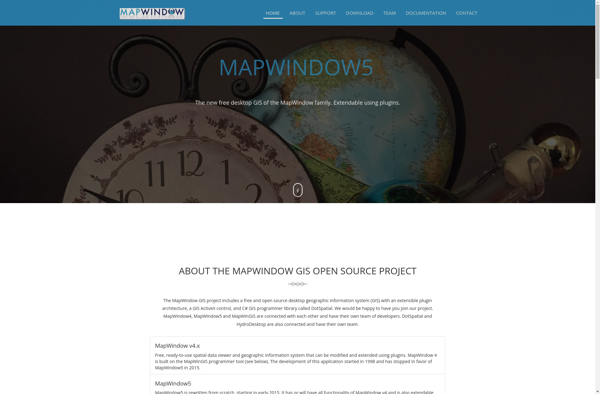
MapWindow GIS is a free and open-source geographic information system (GIS) software developed by Idaho State University. It allows users to view, manage, edit, analyze, and visualize spatial data for a wide range of applications. Some key features of MapWindow GIS include:Support for common data formats like shapefiles, rasters, .Net...
MapWindow GIS image
Mapnik icon

Mapnik

Mapnik is an open-source toolkit for developing mapping applications. It provides the functionality to take spatial data inputs, apply cartographic styling rules and symbolization, and render high-quality maps.Some key features and capabilities of Mapnik include:Access to many common spatial data formats such as shapefiles, PostGIS, SQLite, GeoJSON, KML, and others.Flexible...
Mapnik image
Magic Maps icon

Magic Maps

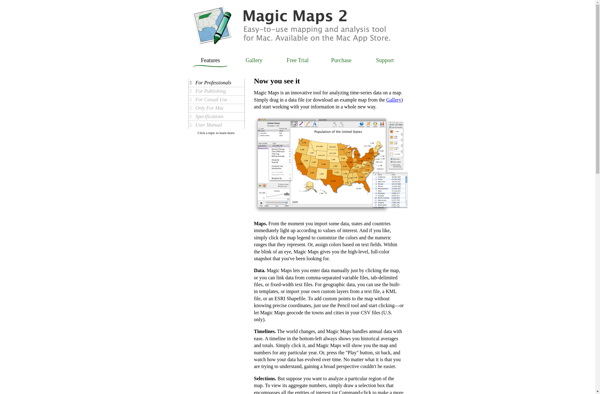
Magic Maps is an innovative mapping and route planning application designed specifically for outdoor adventurers like hikers, cyclists, and road trippers. It provides advanced features to enhance trip planning and navigation compared to traditional mapping software.One of the key benefits of Magic Maps is its seamless offline functionality. Users can...
Magic Maps image
GIS Cloud icon

GIS Cloud

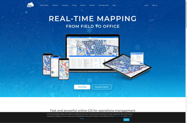
GIS Cloud is a feature-rich, cloud-based geographic information system (GIS) software designed for organizations of all sizes. It enables users to easily create, edit, analyze, and publish geospatial data through an intuitive web interface and mobile apps.Key capabilities and benefits of GIS Cloud include:Interactive web map building with access to...
GIS Cloud image
TatukGIS Editor icon

TatukGIS Editor

TatukGIS Editor is a free and open source desktop geographic information system (GIS) application designed for viewing, editing, and analyzing spatial data. Some key features of TatukGIS Editor include:User-friendly interface for creating, importing, editing, and exporting vector and raster spatial dataAdvanced editing and topology tools for working with points, lines,...
TatukGIS Editor image
Geoconcept icon

Geoconcept

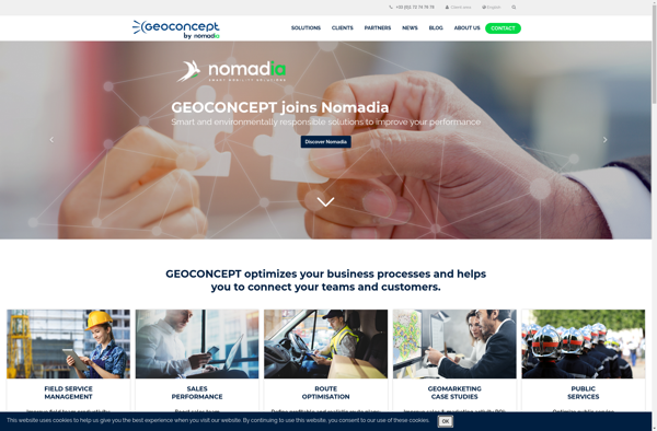
Geoconcept is a desktop geographic information system (GIS) software designed for working with geospatial data and making maps. It provides a wide range of features and tools for creating, editing, analyzing, visualizing, and publishing geographic information.With Geoconcept, users can import, manage, and analyze various types of spatial data including vector...
Geoconcept image
GeniusGIS icon

GeniusGIS

GeniusGIS is an open-source geographic information system (GIS) software application used for creating, editing, visualizing, analyzing and publishing geospatial data. It provides a user-friendly interface and powerful tools for working with maps and geographic information.Some key features of GeniusGIS include:Interactive map creation and editingAdvanced geospatial analysis and modeling toolsSupport for...
GeniusGIS image
ESRI Geoportal Server icon

ESRI Geoportal Server

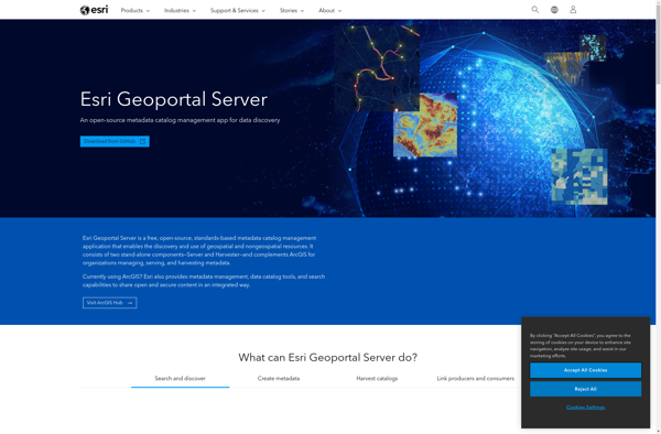
ESRI Geoportal Server is an open source software application used to stand up geospatial clearinghouse portals for managing and discovering metadata and associated geospatial resources. It provides a standards-based metadata catalog that allows users to publish, search, and access geospatial resources such as datasets, rasters, and web services.Key features of...
ESRI Geoportal Server image
VMAP Portal icon

VMAP Portal

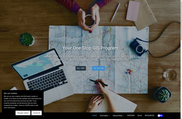
vMAP Portal is a cloud-based network topology and visualization platform used by IT teams to gain insight into their network infrastructures. It provides the following key capabilities:Automated discovery of all devices on both physical and virtual networks, including routers, switches, servers, virtual machines, firewalls, and more.Interactive network topology maps showing...
VMAP Portal image
Plumb-Bob icon

Plumb-Bob

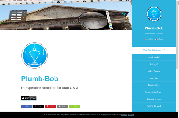
Plumb-Bob is a comprehensive business process management and workflow automation software designed to help organizations streamline operations, reduce costs, and improve productivity. The software provides a user-friendly, drag-and-drop interface to easily model business processes and workflows without the need for coding.Key features of Plumb-Bob include:Intuitive visual designer to map out...
Plumb-Bob image
ZoneSavvy icon

ZoneSavvy

ZoneSavvy is a user-friendly DNS management platform designed to help individuals and businesses easily manage their DNS records and settings without needing expert technical knowledge. It is a cloud-based solution that provides an intuitive graphical interface to add, edit and organize DNS records.Some key features and benefits of ZoneSavvy include:Automatic...
Corgilytics icon

Corgilytics

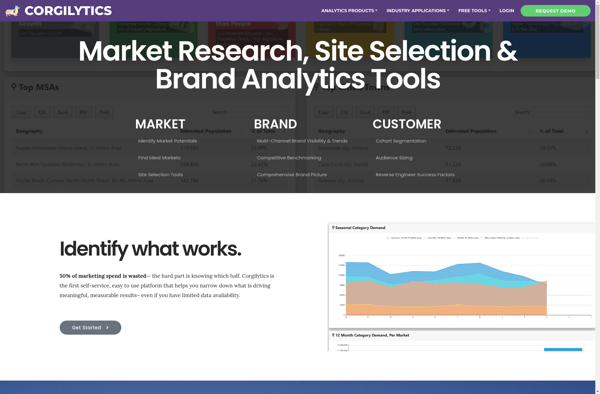
Corgilytics is a revolutionary data analytics and business intelligence platform built from the ground up to cater to the needs of corgi owners and enthusiasts. As a sophisticated yet easy-to-use tool, Corgilytics empowers corgi owners to better understand and optimize the health, happiness, and wellbeing of their favorite short-legged canine...
Corgilytics image
OpenJUMP GIS icon

OpenJUMP GIS

OpenJUMP GIS is a free, open source Geographic Information System (GIS) software used to view, edit, analyze, and process geospatial data. It is written in Java and runs on multiple platforms including Windows, Mac, and Linux.Key features of OpenJUMP include:Supports viewing and editing of vector data in formats like Shapefile,...
OpenJUMP GIS image
Aspectum icon

Aspectum

Aspectum is an open-source business process management and workflow automation software. It provides a flexible platform to model, automate, and optimize business processes across organizations.Key features of Aspectum include:Intuitive drag-and-drop interface to model business processes and workflowsLibrary of pre-built workflow templatesConnectors to integrate with other software systemsTask assignment, notifications, and...
Aspectum image