TatukGIS Editor is an open source desktop geographic information system (GIS) software for creating, editing, and analyzing spatial data. It offers user-friendly tools for mapping and data visualization.
TatukGIS Editor is an open source desktop geographic information system (GIS) software for creating, editing, and analyzing spatial data. It offers user-friendly tools for mapping and data visualization.
What is TatukGIS Editor?
TatukGIS Editor is a free and open source desktop geographic information system (GIS) application designed for viewing, editing, and analyzing spatial data. Some key features of TatukGIS Editor include:
User-friendly interface for creating, importing, editing, and exporting vector and raster spatial data
Advanced editing and topology tools for working with points, lines, polygons, and imagery
Powerful geospatial analysis functions such as buffering, clipping, and intersecting data
Visualization capabilities like thematic mapping, labeling, symbology, and printing maps
Support for many common data formats including Shapefile, GeoJSON, KML, and more
Extendable through Python plugins and integration with other GIS software
Runs on Windows, Linux and macOS operating systems
With its easy-to-use tools, visualization capabilities, and active development community, TatukGIS Editor is a versatile open source option for desktop GIS users, educators, students, and mapping professionals to meet their spatial data needs.
QGIS is a professional open-source Geographic Information System (GIS) software for working with maps and geospatial data. It is licensed under the GNU Public License. QGIS allows you to view, edit, analyze, process, and visualize spatial data in various formats including shapefiles, GeoTIFFs, PostGIS, SpatiaLite, GPX, and more. It supports...
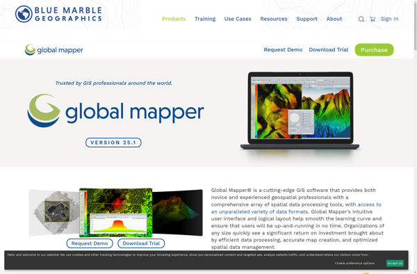
Global Mapper is a powerful and easy-to-use Geographic Information System (GIS) software application for working with spatial data. Developed by Blue Marble Geographics, it supports a wide range of raster, vector, and elevation data formats allowing users to integrate spatial data from different sources for viewing, editing, analysis and conversion.Key...
ArcGIS is a robust and comprehensive geographic information system (GIS) software developed by Esri. It provides a range of capabilities for creating, managing, analyzing, and sharing geospatial data and maps across desktop, mobile, web, and enterprise systems.Key features of ArcGIS include:Advanced geospatial analysis tools for proximity analysis, geocoding, routing, terrain...
SAGA GIS (System for Automated Geoscientific Analyses) is a free and open source geographic information system (GIS) software used for editing and analyzing spatial data. It contains a large set of geoscientific analysis functions and utilities for managing vector, raster and table data.Some key features of SAGA GIS include:Support for...
SuperGIS is a comprehensive geographic information system (GIS) software developed by SuperMap. It provides a wide range of capabilities for working with maps and geographic data including:Data Capture and Management - SuperGIS can import, manage and analyze spatial data from various sources. It supports vector, raster, CAD, databases, lidar, BIM...
what3words is a geocoding system that has divided the world into 3 meter squares and assigned each square a unique 3 word identifier. For example, the square that contains the front door of 10 Downing Street in London has been assigned the 3 word address ///slurs.this.shark.This system allows people to...
gvSIG Desktop is a free and open source geographic information system (GIS) software designed for capturing, storing, processing, analyzing and disseminating geospatial data. It is developed by the gvSIG Association and released under the GNU General Public License.Some key features of gvSIG Desktop include:Support for viewing and editing vector and...
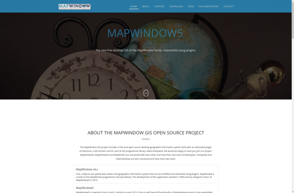
MapWindow GIS is a free and open-source geographic information system (GIS) software developed by Idaho State University. It allows users to view, manage, edit, analyze, and visualize spatial data for a wide range of applications. Some key features of MapWindow GIS include:Support for common data formats like shapefiles, rasters, .Net...
Equator is a cloud-based digital asset management (DAM) and brand management platform used by global companies to easily manage their digital assets. It enables teams to efficiently organize, distribute, collaborate on, and track usage of brand assets from one central place.Key features of Equator include:Cloud-based storage for all digital assetsPowerful...
Manifold is a specialized 3D modeling and surface design software for Windows. It excels at creating smooth, flowing, organic 3D forms and manipulated surfaces for artistic purposes.Some key features of Manifold include:Powerful tools for sculpting, bending, twisting, and deforming surfacesIntuitive interface for manipulating control vertices and polygonsAdvanced smoothing, filleting, and...
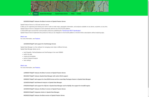
Spatial Feature Server (SFS) is an open-source web mapping software designed for publishing, editing and visualizing spatial data. It is built on open standards like WFS and WMS published by the Open Geospatial Consortium (OGC).Key capabilities and benefits of Spatial Feature Server include:Publishing vector and raster data as web servicesSupport...
GeoMedia is a leading Geographic Information System (GIS) software application developed by Hexagon for working with maps and geographic information. First released in 1991, GeoMedia has over 30 years of development behind it and is used across industries including government, utilities, natural resources, transportation, and defense sectors.GeoMedia enables both GIS...