GeoMedia
GeoMedia: Geographic Information System Software Solution
GeoMedia is a Geographic Information System (GIS) software solution developed by Hexagon that allows users to capture, store, manipulate, analyze, and visualize geospatial data. It is commonly used in areas like urban planning, utilities management, resources and asset management.
What is GeoMedia?
GeoMedia is a leading Geographic Information System (GIS) software application developed by Hexagon for working with maps and geographic information. First released in 1991, GeoMedia has over 30 years of development behind it and is used across industries including government, utilities, natural resources, transportation, and defense sectors.
GeoMedia enables both GIS professionals and more casual business users to easily capture, store, edit, analyze, share, visualize and manage geospatial data within an easy-to-use mapping environment. Key capabilities include:
- Managing, visualizing and analyzing vast amounts of vector, raster and imagery data
- Creating interactive, dynamic maps with navigation controls
- Performing advanced spatial analysis and modeling
- Generating professional cartographic map outputs
- Integrating CAD & engineering schematic data
- Incorporating data from Excel, databases, real-time sensors etc.
- Sharing maps securely over the web and via mobile apps
- Supporting multi-user editing with version management
- Streamlining workflows with task automation
With its rich toolset, open architecture and customization options, GeoMedia serves as an enterprise-level geospatial data management platform across government agencies and commercial enterprises worldwide.
GeoMedia Features
Features
- Desktop GIS for mapping and spatial analysis
- Data management tools for geospatial data
- Advanced data visualization and cartography
- Image processing and raster analysis
- Advanced overlay and proximity analysis
- Integration with databases like Oracle and SQL Server
- Custom application development with GeoMedia Developer
- Web GIS capabilities through GeoMedia WebMap
Pricing
- Perpetual License
- Subscription
- Pay-As-You-Go
Pros
Cons
Reviews & Ratings
Login to ReviewThe Best GeoMedia Alternatives
View all GeoMedia alternatives with detailed comparison →
Top Office & Productivity and Geographic Information Systems and other similar apps like GeoMedia
Here are some alternatives to GeoMedia:
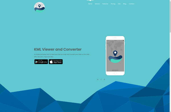
Suggest an alternative ❐KML viewer and converter
TatukGIS Editor
OpenJUMP GIS