SAGA GIS
SAGA GIS: Open Source Geographic Information System
SAGA GIS is an open source geographic information system used for editing and analyzing spatial data. It contains a large set of geoscientific analysis functions and utilities for managing vector, raster and table data.
What is SAGA GIS?
SAGA GIS (System for Automated Geoscientific Analyses) is a free and open source geographic information system (GIS) software used for editing and analyzing spatial data. It contains a large set of geoscientific analysis functions and utilities for managing vector, raster and table data.
Some key features of SAGA GIS include:
- Support for numerous vector, raster and table formats
- Advanced geoprocessing and terrain analysis tools
- Image processing, interpolation and simulation modules
- Interactive display of spatial data and maps
- Graphical modeler to combine processing sequences
- Python interface for extending functionality
- Cross-platform compatibility (Windows, Mac, Linux)
SAGA GIS can handle large datasets efficiently and provides scientists and geodata specialists with a robust open source alternative to commercial GIS software packages. Its wide array of modules make it suitable for applications in geography, geomatics, geology, soil science, climatology, and other earth science fields.
While the interface takes some time getting used to, SAGA GIS offers unmatched capabilities for geoscientific data processing and analysis among open source GIS solutions.
SAGA GIS Features
Features
- Support for raster and vector data
- Large set of analysis and geoprocessing tools
- Modeling and automation capabilities
- 2D and 3D visualization
- Scripting interface
- Multiplatform support
Pricing
- Open Source
Pros
Cons
Official Links
Reviews & Ratings
Login to ReviewThe Best SAGA GIS Alternatives
Top Education & Reference and Geographic Information Systems and other similar apps like SAGA GIS
Here are some alternatives to SAGA GIS:
Suggest an alternative ❐QGIS
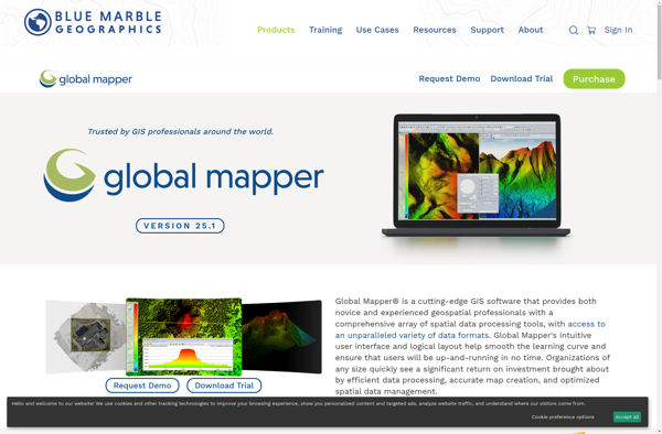
Global Mapper
MapInfo Professional

ArcGIS
Microsoft MapPoint
SuperGIS
OpenGeo Suite

GeoServer

What3words
Spotzi
GvSIG Desktop

MICRODEM
MapWindow GIS
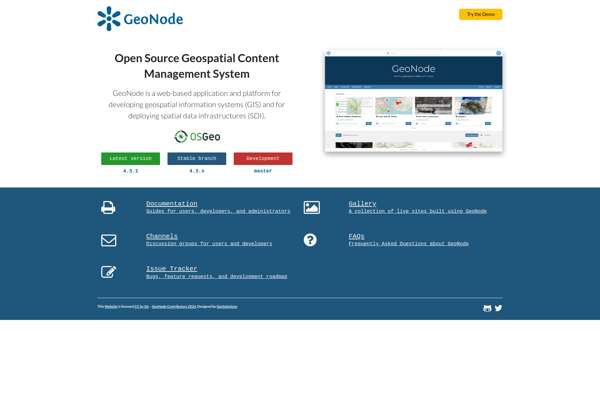
GeoNode
Mapnik

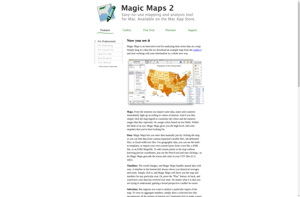
Magic Maps
GeoSheets

GRASS GIS
Mapline

Mapserver
Plus.codes
Maptitude
TatukGIS Editor
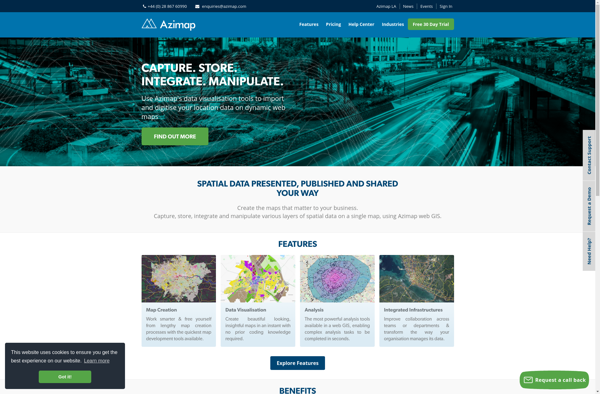
Azimap GIS
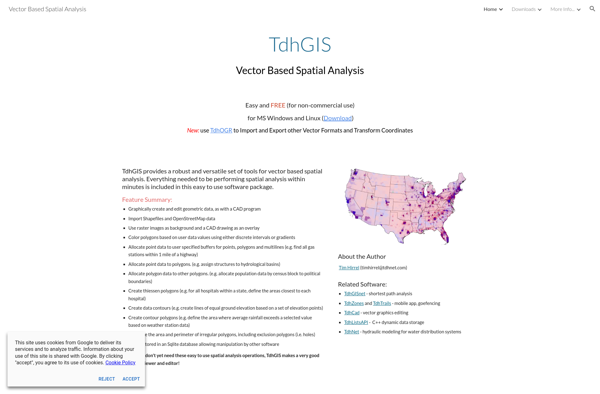
TdhGIS
MapLarge
Manifold

Spatial Feature Server
OpenJUMP GIS
