QGIS is a free and open-source geographic information system software. It allows viewing, editing, and analyzing geospatial data. QGIS offers features for mapping, data management, and data visualization.
QGIS is a free and open-source geographic information system software. It allows viewing, editing, and analyzing geospatial data. QGIS offers features for mapping, data management, and data visualization.
What is QGIS?
QGIS is a professional open-source Geographic Information System (GIS) software for working with maps and geospatial data. It is licensed under the GNU Public License. QGIS allows you to view, edit, analyze, process, and visualize spatial data in various formats including shapefiles, GeoTIFFs, PostGIS, SpatiaLite, GPX, and more. It supports vector and raster data models as well as advanced analysis and data processing tools.
Some key features of QGIS include:
Visualization, exploration, and editing of geospatial data including attribute data management
Advanced data analysis with processing algorithms and model builder tools
Map design, layout, and publishing with print composer
Support for hundreds of vector, raster, and database formats
Integration with PostGIS, SpatiaLite, Oracle Spatial databases
Python plugins for customization and additional functionality
Powerful digitizing tools for creating and editing geospatial features
Network analysis tools including shortest path, service areas, and more
Georeferencing raster and vector data
Remote sensing tools for satellite imagery and aerial photo analysis
3D map and terrain visualization
QGIS is cross-platform and runs on Windows, macOS, Linux, and Android. It has an extensive user community and offers documentation, tutorials, plugins, support, and customization to meet diverse GIS user needs.
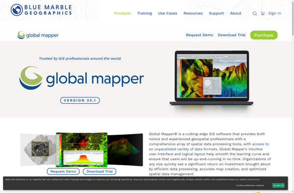
Global Mapper is a powerful and easy-to-use Geographic Information System (GIS) software application for working with spatial data. Developed by Blue Marble Geographics, it supports a wide range of raster, vector, and elevation data formats allowing users to integrate spatial data from different sources for viewing, editing, analysis and conversion.Key...
MapInfo Professional is a desktop geographic information system (GIS) software developed by Pitney Bowes for working with location-based data. It allows users to visualize, analyze, compile, and distribute spatial data.Key features of MapInfo Professional include:Interactive mapping - Easily create professional maps with layers, labels, scales, legends etc.Spatial analysis - Perform...
Microsoft MapPoint is a discontinued mapping and geographic information system (GIS) software application. It was developed by Microsoft to help users visualize data on maps, create custom maps, perform geographic analysis, and integrate location intelligence into various business processes and workflows.MapPoint allowed users to import, analyze and map data such...
SAGA GIS (System for Automated Geoscientific Analyses) is a free and open source geographic information system (GIS) software used for editing and analyzing spatial data. It contains a large set of geoscientific analysis functions and utilities for managing vector, raster and table data.Some key features of SAGA GIS include:Support for...
SuperGIS is a comprehensive geographic information system (GIS) software developed by SuperMap. It provides a wide range of capabilities for working with maps and geographic data including:Data Capture and Management - SuperGIS can import, manage and analyze spatial data from various sources. It supports vector, raster, CAD, databases, lidar, BIM...
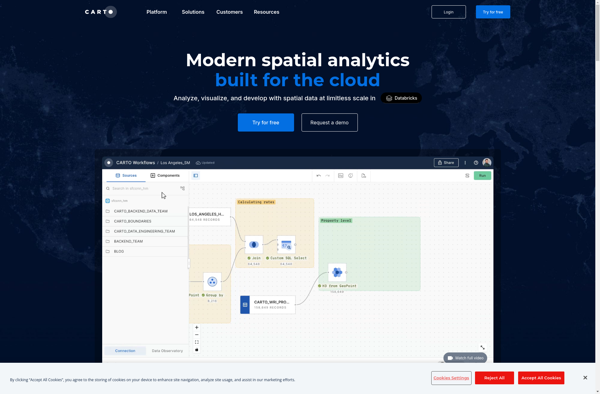
CartoDB is an open source platform for building location intelligence applications. It provides capabilities for spatial data storage, visualization, analysis, and publishing. Key features include:User-friendly drag and drop interface for creating interactive maps and dashboardsVisualization of geospatial datasets such as points, lines, and polygonsOptions for customizing maps with different basemaps,...
OpenGeo Suite is a comprehensive open source geospatial software stack used for building spatial data infrastructures and deploying web mapping applications. It brings together key open source geospatial components like PostGIS, GeoServer, GeoWebCache, and GeoExplorer into a single integrated suite.Some key capabilities and features of OpenGeo Suite include:PostGIS for spatial...
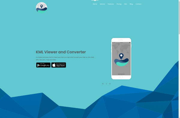
KML viewer and converter is a lightweight desktop application for working with geographic data in Keyhole Markup Language (KML) format. KML is an XML-based format used to display geographic data in applications such as Google Earth.With the KML viewer and converter, you can easily open and view the contents of...
what3words is a geocoding system that has divided the world into 3 meter squares and assigned each square a unique 3 word identifier. For example, the square that contains the front door of 10 Downing Street in London has been assigned the 3 word address ///slurs.this.shark.This system allows people to...
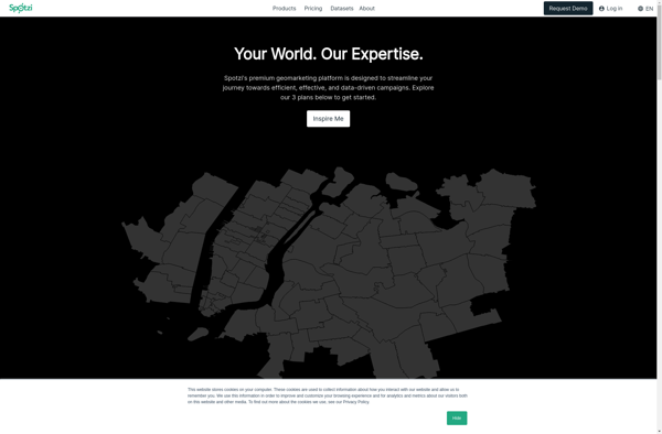
Spotzi is an alternative music streaming service similar to Spotify. It has many of the same core features as Spotify such as:Streaming music on-demandPlaylists and music recommendationsSocial features to follow friends and artistsMobile and desktop appsWhere Spotzi differs from Spotify is its focus on emerging and independent artists. Over half...
gvSIG Desktop is a free and open source geographic information system (GIS) software designed for capturing, storing, processing, analyzing and disseminating geospatial data. It is developed by the gvSIG Association and released under the GNU General Public License.Some key features of gvSIG Desktop include:Support for viewing and editing vector and...
MICRODEM is an open source Geographic Information System (GIS) software application designed specifically for analyzing and modeling terrain data. It was originally developed in the 1990s by Peter Guth of the United States Naval Academy.Some of the key features and capabilities of MICRODEM include:Specialized analysis and modeling functions for hydrological,...
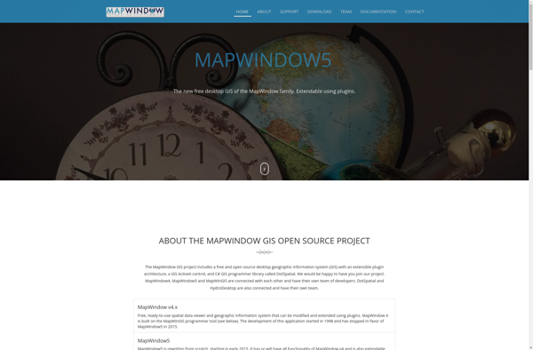
MapWindow GIS is a free and open-source geographic information system (GIS) software developed by Idaho State University. It allows users to view, manage, edit, analyze, and visualize spatial data for a wide range of applications. Some key features of MapWindow GIS include:Support for common data formats like shapefiles, rasters, .Net...
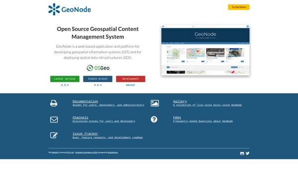
GeoNode is a free and open source platform built with Django that facilitates the creation, sharing, and collaborative use of geospatial data. It provides a standardized way to publish spatial datasets and metadata, allowing researchers, organizations, and citizens to easily share maps, data, and stories online.Some key features of GeoNode...
Google Maps Engine is a cloud-based mapping platform launched by Google in 2012. It allows users to store, visualize and share geographic data by creating custom maps.Some key features of Google Maps Engine include:Ability to upload spreadsheet data, KML files, geoJSON files to create layers on a mapConnect to external...
Mapnik is an open-source toolkit for developing mapping applications. It provides the functionality to take spatial data inputs, apply cartographic styling rules and symbolization, and render high-quality maps.Some key features and capabilities of Mapnik include:Access to many common spatial data formats such as shapefiles, PostGIS, SQLite, GeoJSON, KML, and others.Flexible...
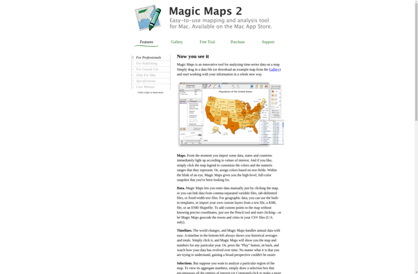
Magic Maps is an innovative mapping and route planning application designed specifically for outdoor adventurers like hikers, cyclists, and road trippers. It provides advanced features to enhance trip planning and navigation compared to traditional mapping software.One of the key benefits of Magic Maps is its seamless offline functionality. Users can...
GeoSheets is a cloud-based geographic information system (GIS) software designed for creating interactive maps and analyzing spatial data. Some key features of GeoSheets include:Intuitive drag-and-drop interface to import, visualize and edit geospatial data from a variety of sources like Excel, CSVs, databases, APIs etc.Powerful yet easy-to-use tools for geocoding, spatial...
GRASS GIS (Geographic Resources Analysis Support System) is a free and open source geographic information system (GIS) software suite used for geospatial data management, analysis, graphics and maps production, spatial modeling, and visualization.Some key features of GRASS GIS include:Powerful raster, vector, and geospatial processing tools for analysis and data conversionAbility...
Mapline is an open-source, self-hosted web application that allows users to create custom maps for free. It is an alternative to proprietary services like Google My Maps.Some key features of Mapline include:Ability to add markers, lines, shapes, and text notes to your mapsSupport for multiple layers on a single mapOptions...
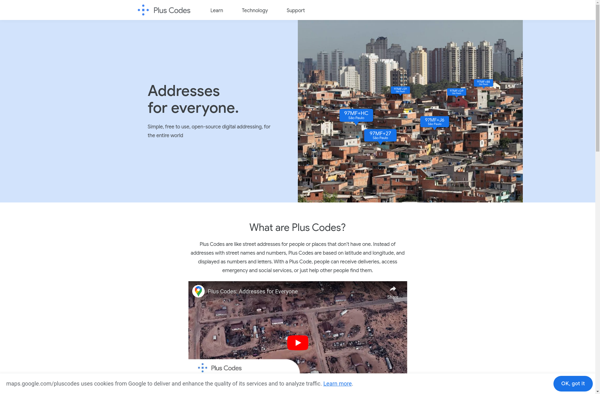
plus.codes is an open-source addressing system developed by Google that assigns a short alphanumeric code to any location on earth. It can be used for addressing and navigation purposes.Some key features of plus.codes:Easy to use, remember and communicate - plus codes are much shorter and simpler than street addressesWorks offline...
Maptitude is a desktop Geographic Information System (GIS) software developed by Caliper Corporation. It provides tools for creating interactive maps, performing spatial analysis, managing geographic data, and generating reports.Key features of Maptitude include:Interactive mapping - Allows users to create professional-quality maps with layers, labels, scale bars, north arrows, etc.Data visualization...
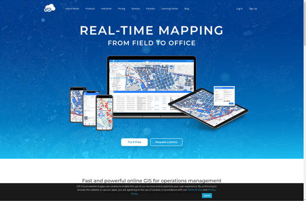
GIS Cloud is a feature-rich, cloud-based geographic information system (GIS) software designed for organizations of all sizes. It enables users to easily create, edit, analyze, and publish geospatial data through an intuitive web interface and mobile apps.Key capabilities and benefits of GIS Cloud include:Interactive web map building with access to...
TatukGIS Editor is a free and open source desktop geographic information system (GIS) application designed for viewing, editing, and analyzing spatial data. Some key features of TatukGIS Editor include:User-friendly interface for creating, importing, editing, and exporting vector and raster spatial dataAdvanced editing and topology tools for working with points, lines,...
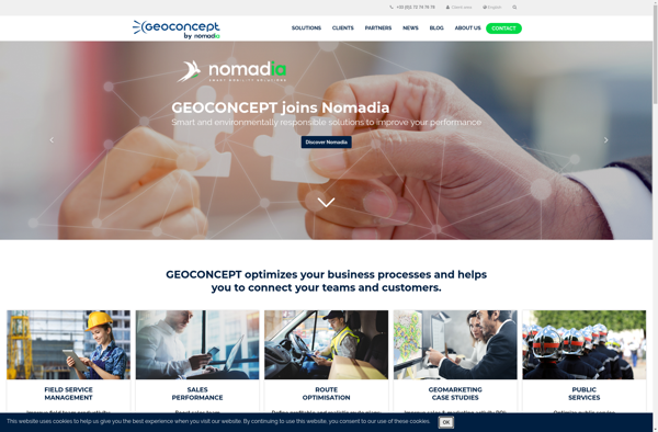
Geoconcept is a desktop geographic information system (GIS) software designed for working with geospatial data and making maps. It provides a wide range of features and tools for creating, editing, analyzing, visualizing, and publishing geographic information.With Geoconcept, users can import, manage, and analyze various types of spatial data including vector...
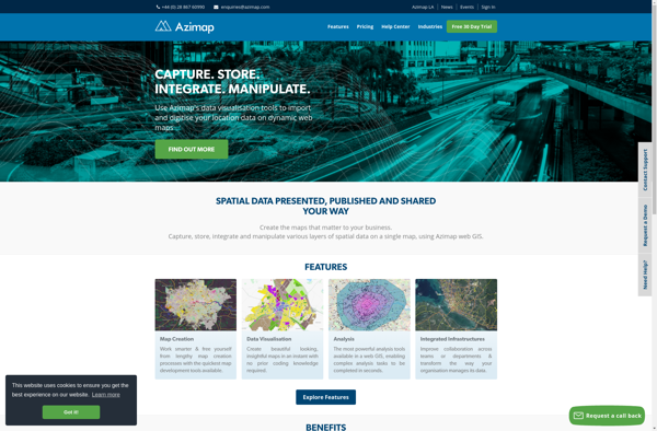
Azimap GIS is an open-source geographic information system (GIS) software application used to create, edit, visualize, analyze and publish geospatial information. It enables users to work with both raster and vector data, including the ability to create, edit and manage spatial datasets.Key features of Azimap GIS include:Interactive map display with...
TdhGIS is an open-source geographic information system (GIS) software application developed by Terre des hommes (Tdh), an international NGO focused on humanitarian aid for children. It is designed specifically for public health professionals to map and analyze data to improve programs and policies.Key features of TdhGIS include:Interactive and dynamic mapping...
MapLarge is an intuitive and flexible mind mapping and brainstorming application. As an open-source, cross-platform solution, MapLarge can be used on Windows, Mac, Linux, iOS, and Android devices.At its core, MapLarge allows users to visually organize ideas, notes, tasks, and concepts into node-based maps. Nodes can contain text, images, links,...
Manifold is a specialized 3D modeling and surface design software for Windows. It excels at creating smooth, flowing, organic 3D forms and manipulated surfaces for artistic purposes.Some key features of Manifold include:Powerful tools for sculpting, bending, twisting, and deforming surfacesIntuitive interface for manipulating control vertices and polygonsAdvanced smoothing, filleting, and...
GeniusGIS is an open-source geographic information system (GIS) software application used for creating, editing, visualizing, analyzing and publishing geospatial data. It provides a user-friendly interface and powerful tools for working with maps and geographic information.Some key features of GeniusGIS include:Interactive map creation and editingAdvanced geospatial analysis and modeling toolsSupport for...
ESRI Geoportal Server is an open source software application used to stand up geospatial clearinghouse portals for managing and discovering metadata and associated geospatial resources. It provides a standards-based metadata catalog that allows users to publish, search, and access geospatial resources such as datasets, rasters, and web services.Key features of...
vMAP Portal is a cloud-based network topology and visualization platform used by IT teams to gain insight into their network infrastructures. It provides the following key capabilities:Automated discovery of all devices on both physical and virtual networks, including routers, switches, servers, virtual machines, firewalls, and more.Interactive network topology maps showing...
Plumb-Bob is a comprehensive business process management and workflow automation software designed to help organizations streamline operations, reduce costs, and improve productivity. The software provides a user-friendly, drag-and-drop interface to easily model business processes and workflows without the need for coding.Key features of Plumb-Bob include:Intuitive visual designer to map out...
ZoneSavvy is a user-friendly DNS management platform designed to help individuals and businesses easily manage their DNS records and settings without needing expert technical knowledge. It is a cloud-based solution that provides an intuitive graphical interface to add, edit and organize DNS records.Some key features and benefits of ZoneSavvy include:Automatic...
Corgilytics is a revolutionary data analytics and business intelligence platform built from the ground up to cater to the needs of corgi owners and enthusiasts. As a sophisticated yet easy-to-use tool, Corgilytics empowers corgi owners to better understand and optimize the health, happiness, and wellbeing of their favorite short-legged canine...
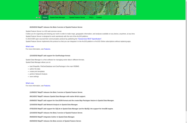
Spatial Feature Server (SFS) is an open-source web mapping software designed for publishing, editing and visualizing spatial data. It is built on open standards like WFS and WMS published by the Open Geospatial Consortium (OGC).Key capabilities and benefits of Spatial Feature Server include:Publishing vector and raster data as web servicesSupport...
OpenJUMP GIS is a free, open source Geographic Information System (GIS) software used to view, edit, analyze, and process geospatial data. It is written in Java and runs on multiple platforms including Windows, Mac, and Linux.Key features of OpenJUMP include:Supports viewing and editing of vector data in formats like Shapefile,...
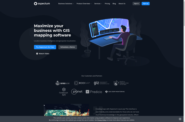
Aspectum is an open-source business process management and workflow automation software. It provides a flexible platform to model, automate, and optimize business processes across organizations.Key features of Aspectum include:Intuitive drag-and-drop interface to model business processes and workflowsLibrary of pre-built workflow templatesConnectors to integrate with other software systemsTask assignment, notifications, and...