SuperGIS is a geographic information system (GIS) software for creating, visualizing, analyzing, and managing geographic and spatial data. It provides tools for mapping, spatial analysis, data editing and conversion.
A GIS software for creating, visualizing, analyzing, and managing geographic and spatial data, providing tools for mapping, spatial analysis, data editing and conversion.
What is SuperGIS?
SuperGIS is a comprehensive geographic information system (GIS) software developed by SuperMap. It provides a wide range of capabilities for working with maps and geographic data including:
Data Capture and Management - SuperGIS can import, manage and analyze spatial data from various sources. It supports vector, raster, CAD, databases, lidar, BIM and many other data formats.
Mapping and Visualization - Create interactive maps with advanced symbology, labeling, effects and styles for print, web and mobile platforms. Annotate maps with graticules, north arrows, scale bars etc.
Spatial Analysis - Perform proximity, overlay, network and many other types of analysis. Use geoprocessing tools for tasks like buffering, clipping, dissolving etc.
3D Visualization and Analysis - View and navigate 3D maps and globes. Perform analysis like viewshed, line-of-sight and fly-through simulations in a 3D environment.
Field Data Collection - Collect field data with mobile apps and integrate with desktop workflows for post-processing and analysis.
Application Development - Customize SuperGIS with Python scripting. Build custom apps and solutions using SDKs for various platforms like .NET, Java, Android etc.
Some key capabilities of SuperGIS include advanced data visualization and cartography, spatial analysis, editable geodatabases, custom scripting with Python, integration with other enterprise systems, and scalable server technology for sharing GIS capabilities over the web and intranets.
SuperGIS is used worldwide across government, education, oil and gas, transportation, environment, agriculture, defense and intelligence sectors. It provides an open, high performance and productive GIS platform for organizations of all sizes.
SuperGIS Features
Features
Desktop GIS with advanced cartography and spatial analysis
Image processing and remote sensing capabilities
3D visualization and analysis
Database management and integration
Modeling and simulation tools
Custom application development
Web GIS capabilities
Pricing
Perpetual License
Subscription
Freemium
Pros
User-friendly interface
Powerful analytical and data management tools
Supports wide range of data formats
Scalable licensing options
Strong technical support
Integrates well with other systems
Cons
Can be expensive for full functionality
Steep learning curve for some advanced features
Limited cloud capabilities compared to other GIS
Scripting and customization requires programming knowledge
QGIS is a professional open-source Geographic Information System (GIS) software for working with maps and geospatial data. It is licensed under the GNU Public License. QGIS allows you to view, edit, analyze, process, and visualize spatial data in various formats including shapefiles, GeoTIFFs, PostGIS, SpatiaLite, GPX, and more. It supports...
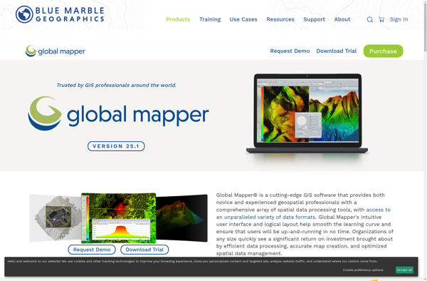
Global Mapper is a powerful and easy-to-use Geographic Information System (GIS) software application for working with spatial data. Developed by Blue Marble Geographics, it supports a wide range of raster, vector, and elevation data formats allowing users to integrate spatial data from different sources for viewing, editing, analysis and conversion.Key...
ArcGIS is a robust and comprehensive geographic information system (GIS) software developed by Esri. It provides a range of capabilities for creating, managing, analyzing, and sharing geospatial data and maps across desktop, mobile, web, and enterprise systems.Key features of ArcGIS include:Advanced geospatial analysis tools for proximity analysis, geocoding, routing, terrain...
SAGA GIS (System for Automated Geoscientific Analyses) is a free and open source geographic information system (GIS) software used for editing and analyzing spatial data. It contains a large set of geoscientific analysis functions and utilities for managing vector, raster and table data.Some key features of SAGA GIS include:Support for...
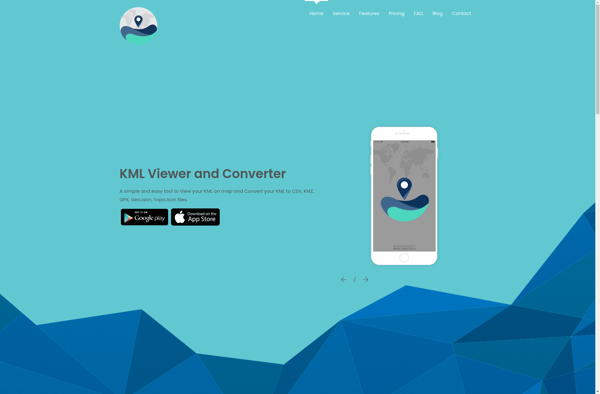
KML viewer and converter is a lightweight desktop application for working with geographic data in Keyhole Markup Language (KML) format. KML is an XML-based format used to display geographic data in applications such as Google Earth.With the KML viewer and converter, you can easily open and view the contents of...
what3words is a geocoding system that has divided the world into 3 meter squares and assigned each square a unique 3 word identifier. For example, the square that contains the front door of 10 Downing Street in London has been assigned the 3 word address ///slurs.this.shark.This system allows people to...
Mapnik is an open-source toolkit for developing mapping applications. It provides the functionality to take spatial data inputs, apply cartographic styling rules and symbolization, and render high-quality maps.Some key features and capabilities of Mapnik include:Access to many common spatial data formats such as shapefiles, PostGIS, SQLite, GeoJSON, KML, and others.Flexible...
GRASS GIS (Geographic Resources Analysis Support System) is a free and open source geographic information system (GIS) software suite used for geospatial data management, analysis, graphics and maps production, spatial modeling, and visualization.Some key features of GRASS GIS include:Powerful raster, vector, and geospatial processing tools for analysis and data conversionAbility...
Mapline is an open-source, self-hosted web application that allows users to create custom maps for free. It is an alternative to proprietary services like Google My Maps.Some key features of Mapline include:Ability to add markers, lines, shapes, and text notes to your mapsSupport for multiple layers on a single mapOptions...
Maptitude is a desktop Geographic Information System (GIS) software developed by Caliper Corporation. It provides tools for creating interactive maps, performing spatial analysis, managing geographic data, and generating reports.Key features of Maptitude include:Interactive mapping - Allows users to create professional-quality maps with layers, labels, scale bars, north arrows, etc.Data visualization...
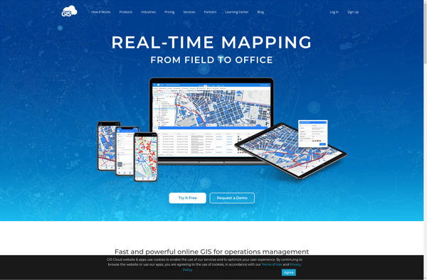
GIS Cloud is a feature-rich, cloud-based geographic information system (GIS) software designed for organizations of all sizes. It enables users to easily create, edit, analyze, and publish geospatial data through an intuitive web interface and mobile apps.Key capabilities and benefits of GIS Cloud include:Interactive web map building with access to...
TatukGIS Editor is a free and open source desktop geographic information system (GIS) application designed for viewing, editing, and analyzing spatial data. Some key features of TatukGIS Editor include:User-friendly interface for creating, importing, editing, and exporting vector and raster spatial dataAdvanced editing and topology tools for working with points, lines,...
ZoneSavvy is a user-friendly DNS management platform designed to help individuals and businesses easily manage their DNS records and settings without needing expert technical knowledge. It is a cloud-based solution that provides an intuitive graphical interface to add, edit and organize DNS records.Some key features and benefits of ZoneSavvy include:Automatic...
OpenJUMP GIS is a free, open source Geographic Information System (GIS) software used to view, edit, analyze, and process geospatial data. It is written in Java and runs on multiple platforms including Windows, Mac, and Linux.Key features of OpenJUMP include:Supports viewing and editing of vector data in formats like Shapefile,...
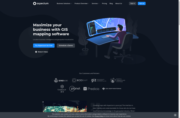
Aspectum is an open-source business process management and workflow automation software. It provides a flexible platform to model, automate, and optimize business processes across organizations.Key features of Aspectum include:Intuitive drag-and-drop interface to model business processes and workflowsLibrary of pre-built workflow templatesConnectors to integrate with other software systemsTask assignment, notifications, and...