Mapnik is an open source toolkit for developing mapping applications. It provides components for spatial data access, visualization, and analysis. Mapnik supports many common data formats and allows customization of map styles.
Mapnik is an open source toolkit for developing mapping applications. It provides components for spatial data access, visualization, and analysis. Mapnik supports many common data formats and allows customization of map styles.
What is Mapnik?
Mapnik is an open-source toolkit for developing mapping applications. It provides the functionality to take spatial data inputs, apply cartographic styling rules and symbolization, and render high-quality maps.
Some key features and capabilities of Mapnik include:
Access to many common spatial data formats such as shapefiles, PostGIS, SQLite, GeoJSON, KML, and others.
Flexible and powerful cartographic styling through cascading style sheets.
Advanced labeling capabilities for intelligent placement and rendering of text labels.
Fast vector and raster map rendering, using the Cairo graphics library.
Python and JavaScript bindings allow for scripting and customization.
Support for tiling schemes and generation of map tile caches for web mapping.
Pluggable architecture makes Mapnik extensible.
With its comprehensive feature set Mapnik can power a variety of mapping applications from basic static map image generation to advanced web mapping applications and geospatial analysis tools.
Mapnik Features
Features
Rendering engine for creating map images
Supports various data sources like PostGIS, Shapefiles, GeoJSON, etc
Styling through CartoCSS syntax
Tile rendering for web maps
Python and Node.js bindings available
Pricing
Open Source
Pros
Open source and free
High performance and scalability
Cross platform
Active development community
Integrates with other tools like MapServer, GeoServer etc
QGIS is a professional open-source Geographic Information System (GIS) software for working with maps and geospatial data. It is licensed under the GNU Public License. QGIS allows you to view, edit, analyze, process, and visualize spatial data in various formats including shapefiles, GeoTIFFs, PostGIS, SpatiaLite, GPX, and more. It supports...
SAGA GIS (System for Automated Geoscientific Analyses) is a free and open source geographic information system (GIS) software used for editing and analyzing spatial data. It contains a large set of geoscientific analysis functions and utilities for managing vector, raster and table data.Some key features of SAGA GIS include:Support for...
SuperGIS is a comprehensive geographic information system (GIS) software developed by SuperMap. It provides a wide range of capabilities for working with maps and geographic data including:Data Capture and Management - SuperGIS can import, manage and analyze spatial data from various sources. It supports vector, raster, CAD, databases, lidar, BIM...
OpenGeo Suite is a comprehensive open source geospatial software stack used for building spatial data infrastructures and deploying web mapping applications. It brings together key open source geospatial components like PostGIS, GeoServer, GeoWebCache, and GeoExplorer into a single integrated suite.Some key capabilities and features of OpenGeo Suite include:PostGIS for spatial...
GeoServer is an open source server for sharing geospatial data. It is the reference implementation of the Open Geospatial Consortium (OGC) Web Feature Service (WFS) and Web Coverage Service (WCS) standards, as well as a high performance certified compliant Web Map Service (WMS). GeoServer forms a core component of the...
what3words is a geocoding system that has divided the world into 3 meter squares and assigned each square a unique 3 word identifier. For example, the square that contains the front door of 10 Downing Street in London has been assigned the 3 word address ///slurs.this.shark.This system allows people to...
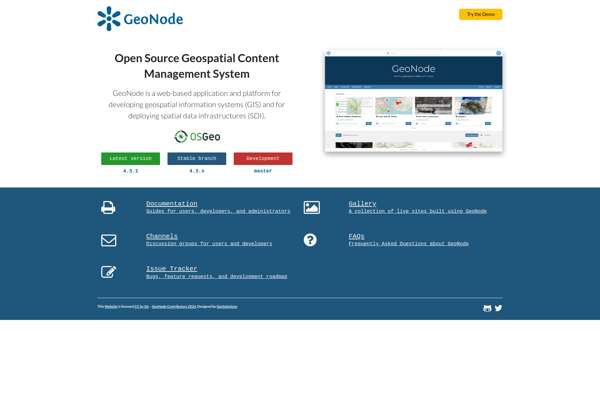
GeoNode is a free and open source platform built with Django that facilitates the creation, sharing, and collaborative use of geospatial data. It provides a standardized way to publish spatial datasets and metadata, allowing researchers, organizations, and citizens to easily share maps, data, and stories online.Some key features of GeoNode...
Equator is a cloud-based digital asset management (DAM) and brand management platform used by global companies to easily manage their digital assets. It enables teams to efficiently organize, distribute, collaborate on, and track usage of brand assets from one central place.Key features of Equator include:Cloud-based storage for all digital assetsPowerful...
GRASS GIS (Geographic Resources Analysis Support System) is a free and open source geographic information system (GIS) software suite used for geospatial data management, analysis, graphics and maps production, spatial modeling, and visualization.Some key features of GRASS GIS include:Powerful raster, vector, and geospatial processing tools for analysis and data conversionAbility...
Mapline is an open-source, self-hosted web application that allows users to create custom maps for free. It is an alternative to proprietary services like Google My Maps.Some key features of Mapline include:Ability to add markers, lines, shapes, and text notes to your mapsSupport for multiple layers on a single mapOptions...
Mapserver is an open source geographic data rendering engine written in C. It allows users to publish spatial data and build interactive web mapping applications without the need for desktop GIS software. Mapserver excels at rendering spatial data and creating high-performance interactive maps that can be accessed via web browsers.Some...
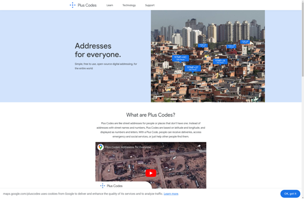
plus.codes is an open-source addressing system developed by Google that assigns a short alphanumeric code to any location on earth. It can be used for addressing and navigation purposes.Some key features of plus.codes:Easy to use, remember and communicate - plus codes are much shorter and simpler than street addressesWorks offline...
MapLarge is an intuitive and flexible mind mapping and brainstorming application. As an open-source, cross-platform solution, MapLarge can be used on Windows, Mac, Linux, iOS, and Android devices.At its core, MapLarge allows users to visually organize ideas, notes, tasks, and concepts into node-based maps. Nodes can contain text, images, links,...
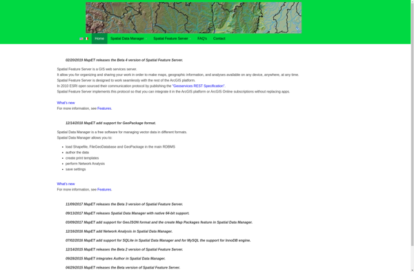
Spatial Feature Server (SFS) is an open-source web mapping software designed for publishing, editing and visualizing spatial data. It is built on open standards like WFS and WMS published by the Open Geospatial Consortium (OGC).Key capabilities and benefits of Spatial Feature Server include:Publishing vector and raster data as web servicesSupport...