OpenGeo Suite is an open source geospatial software suite used for building and managing geospatial data infrastructures. It includes components like PostGIS, GeoServer, GeoWebCache, and GeoExplorer.
OpenGeo Suite: Open Source Geospatial Software Suite
Open source geospatial software suite for building and managing geospatial data infrastructures, including PostGIS, GeoServer, GeoWebCache, and GeoExplorer.
What is OpenGeo Suite?
OpenGeo Suite is a comprehensive open source geospatial software stack used for building spatial data infrastructures and deploying web mapping applications. It brings together key open source geospatial components like PostGIS, GeoServer, GeoWebCache, and GeoExplorer into a single integrated suite.
Some key capabilities and features of OpenGeo Suite include:
PostGIS for spatial database storage and spatial SQL querying
GeoServer for serving maps and geospatial data via OGC standards like WMS, WFS
GeoWebCache for accelerating map image delivery and optimizing web map performance
GeoExplorer for browser-based interactive mapping application development
QGIS Desktop integration for advanced desktop GIS and cartography
Consistent look and feel across components and admin interfaces
Simplified production deployment with packaged installers
Centralized security across all components
Pluggable extensions and customization
With its comprehensive capabilities and open source licensing, OpenGeo Suite is a popular choice for organizations looking to implement standards-based spatial data infrastructures for web mapping and geospatial application development.
OpenGeo Suite Features
Features
PostGIS spatial database
GeoServer for publishing spatial data
GeoWebCache for caching map tiles
GeoExplorer for interactive viewing and editing
GeoExt framework for building web GIS applications
Supports wide range of OGC standards like WMS, WFS, WCS
High performance and scalability
Built on open source components
Pricing
Open Source
Free
Pros
Powerful and comprehensive GIS platform
Open source and free
Active development community
Extensive documentation and support
Highly customizable and extensible
Works with many data formats and databases
Cons
Can have a steep learning curve
Requires expertise to setup and configure
Not as user friendly as some commercial alternatives
QGIS is a professional open-source Geographic Information System (GIS) software for working with maps and geospatial data. It is licensed under the GNU Public License. QGIS allows you to view, edit, analyze, process, and visualize spatial data in various formats including shapefiles, GeoTIFFs, PostGIS, SpatiaLite, GPX, and more. It supports...
Mapbox Studio is a powerful desktop application for designing custom map styles. It provides a graphical user interface that allows you to visually style vector tiles created with Mapbox tools and services.Some key features of Mapbox Studio include:Import vector tilesets created with Mapbox tools like Mapbox Streets and SatelliteStyle map...
SAGA GIS (System for Automated Geoscientific Analyses) is a free and open source geographic information system (GIS) software used for editing and analyzing spatial data. It contains a large set of geoscientific analysis functions and utilities for managing vector, raster and table data.Some key features of SAGA GIS include:Support for...
Mapotic is an open-source, self-hosted alternative to Mapbox that provides developers and designers with tools for creating interactive maps. Some key features of Mapotic include:Ability to design custom base maps with Mapnik and CartoCSSSupport for overlaying vector and raster map tiles from various sourcesTools for visualizing, analyzing, and processing geospatial...
Map3 is a versatile mind mapping and brainstorming software used to visually organize ideas, concepts, notes, and tasks. With Map3, users can create flexible and free-flowing maps to connect thoughts and information.Some key features and capabilities of Map3 include:Tree, org chart, flowchart map views to structure informationTagging and searching maps...
what3words is a geocoding system that has divided the world into 3 meter squares and assigned each square a unique 3 word identifier. For example, the square that contains the front door of 10 Downing Street in London has been assigned the 3 word address ///slurs.this.shark.This system allows people to...
Mapnik is an open-source toolkit for developing mapping applications. It provides the functionality to take spatial data inputs, apply cartographic styling rules and symbolization, and render high-quality maps.Some key features and capabilities of Mapnik include:Access to many common spatial data formats such as shapefiles, PostGIS, SQLite, GeoJSON, KML, and others.Flexible...
Mapserver is an open source geographic data rendering engine written in C. It allows users to publish spatial data and build interactive web mapping applications without the need for desktop GIS software. Mapserver excels at rendering spatial data and creating high-performance interactive maps that can be accessed via web browsers.Some...
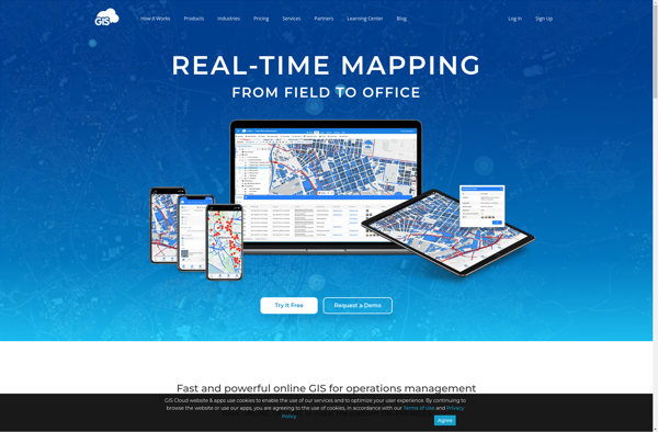
GIS Cloud is a feature-rich, cloud-based geographic information system (GIS) software designed for organizations of all sizes. It enables users to easily create, edit, analyze, and publish geospatial data through an intuitive web interface and mobile apps.Key capabilities and benefits of GIS Cloud include:Interactive web map building with access to...
MapTiler Cloud is a cloud-based solution that allows users to create, style, optimize and deliver map tiles for web and mobile applications. Some key features include:Upload your own geospatial data like satellite/aerial imagery, DEMs, shapefiles, KMLs etc.Tiling engine that efficiently slices geospatial data into map tiles for zoom levelsMap styling...
3geonames is an open source gazetteer web service that provides access to a large database of geographical names and features from around the world. It allows users to search for places and locations by name, postal code, IP address and other identifiers to get relevant geographic data.Some of the key...