3geonames
3geonames: Open Source Gazetteer Web Service
Search for places, get data on geographical features, and more with 3geonames, an open source web service providing access to a geographical database record.
What is 3geonames?
3geonames is an open source gazetteer web service that provides access to a large database of geographical names and features from around the world. It allows users to search for places and locations by name, postal code, IP address and other identifiers to get relevant geographic data.
Some of the key features of 3geonames include:
- Search database of over 25 million place names and 5.5 million alternate names
- Get location data like latitude, longitude, country code, elevation, population and more
- Support for searching by name, postal code, IP address, administrative subdivision etc.
- Place data available in multiple languages
- REST API for integration into other applications
- Coverage of all countries with focus on North America and Europe
- Data on geographical features like roads, railroads, forests, parks etc.
- Ability to incorporate user generated content through wiki functionalities
- Free access to core web services
3geonames data and API can be used to build location-aware web and mobile applications. Some common use cases are local search, location tagging, geocoding addresses, travel/tourism apps, real estate apps and more. An active community provides updates and additions to the data.
3geonames Features
Features
- Search for places by name
- Reverse geocoding to find places near latitude/longitude coordinates
- Get data on geographical features like population, elevation, etc.
- Access to database records on over 25 million geographical names
- API access for integration into other applications
Pricing
- Open Source
- Free
Pros
Cons
Official Links
Reviews & Ratings
Login to ReviewThe Best 3geonames Alternatives
View all 3geonames alternatives with detailed comparison →
Top Travel & Location and Maps & Navigation and other similar apps like 3geonames
Here are some alternatives to 3geonames:
Suggest an alternative ❐OpenGeo Suite

What3words

Mapline

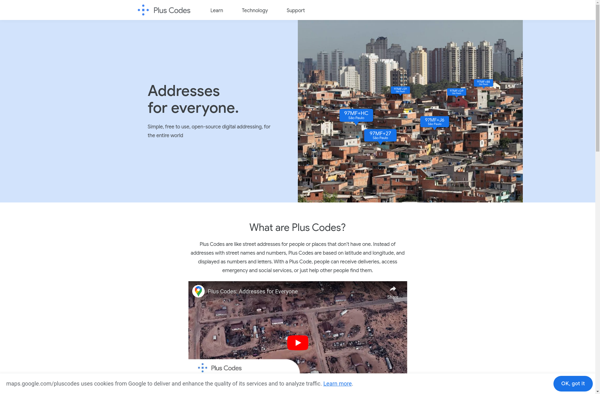
Plus.codes
Maptitude

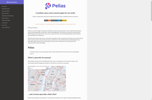
Pelias