MAPS.ME

MAPS.ME: Free Offline Maps & GPS Navigation
MAPS.ME is a free, open-source mobile app providing offline maps and GPS navigation for over 200 countries. It allows users to download detailed maps to their device for access offline, search for places and addresses, plan routes by car, bike or foot, track their position and more, without needing an internet connection.
What is MAPS.ME?
What Is MAPS.ME?
MAPS.ME is a mobile maps and navigation app that provides detailed offline maps for over 200 countries. Originally open source, it was one of the first apps to make OpenStreetMap data accessible on mobile with a polished interface.
Key Features
Users download maps by country or region for fully offline use. The app provides turn-by-turn navigation for driving, walking, and cycling, plus public transit information in supported cities. Search covers restaurants, hotels, ATMs, and other points of interest.
MAPS.ME includes hotel booking integration, travel guides, and route sharing. The maps are regularly updated from OpenStreetMap data and include hiking trails, cycling paths, and topographic information.
MAPS.ME vs Organic Maps
MAPS.ME and Organic Maps share the same codebase origin. Organic Maps was forked from MAPS.ME after the latter added advertising and user tracking. Users who prioritize privacy generally prefer Organic Maps, while MAPS.ME offers more commercial features like hotel booking.
MAPS.ME Features
Features
- Offline maps
- GPS navigation
- Search for places and addresses
- Route planning by car, bike or foot
- Position tracking
- Works without internet connection
Pricing
- Free
- Open Source
Pros
Cons
Official Links
Reviews & Ratings
Login to ReviewThe Best MAPS.ME Alternatives
View all MAPS.ME alternatives with detailed comparison →
Top Travel & Location and Maps & Navigation and other similar apps like MAPS.ME
Here are some alternatives to MAPS.ME:
Suggest an alternative ❐Google Maps

Waze

OsmAnd

OpenStreetMap

OruxMaps

Organic Maps

Arcane Maps
Apple Maps

TransforMap

Mapcarta
Pure Maps
Mapy.cz
Planet Labs

BlackBerry Maps
Marble

Universal Maps Downloader

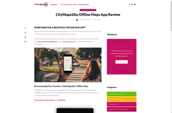
CityMaps2Go
Yandex Maps

TomTom MyDrive

Guru Maps
Qwant Maps
Mapline

2GIS

Windows Maps

Garmin StreetPilot Onboard

WeTravel

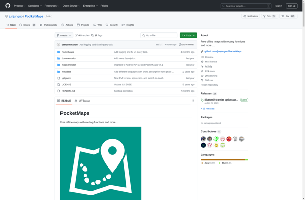
PocketMaps
GeoNET

Tripblan

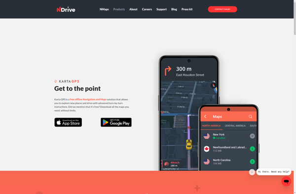
Karta GPS
Gabbermap
Transportr

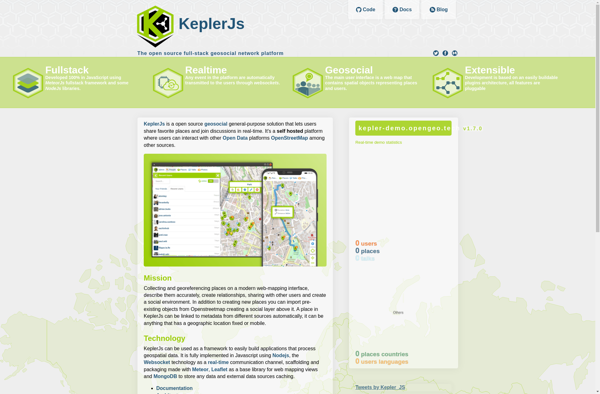
KeplerJs
Galileo Offline Maps

OpenMaps
WalkWay Navi

GPS Navigator with Offline Maps

Google Maps Go
OffRoad OSM
Wisepilot
AddressToGPS
Mobile GMaps

ITajPlus
MapDroyd

Jawg Maps
ShareNav
Velotton

Mappy

Doko Maps
Maplorer
Gokivo Navigator
GPS Voice Navigation

GpsMid