Open-source, privacy-focused mapping service without personal data collection, providing alternative Google Maps features
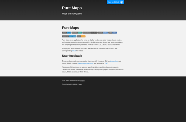
What is Pure Maps?
Pure Maps is an open-source mapping platform developed as an alternative to Google Maps that focuses on user privacy. Unlike Google Maps, Pure Maps does not collect or store any personal user data.
Some key features of Pure Maps include:
Open-source codebase that allows anyone to contribute and audit the project
Vector-based map tiles that load quickly and provide smooth zooming/panning
Search for locations and addresses in a privacy-focused way
Turn-by-turn driving, walking and transit directions
Support for custom map layers and data visualizations
APIs for developers to build mapping features into their apps
The goal of Pure Maps is to provide an equally useful maps service as Google Maps, but without tracking user locations or gathering personal data. It is developed by a non-profit organization and is available for free use without advertisements. As an open-source platform, Pure Maps provides transparency into its practices and puts control of the mapping platform into the community's hands.
Google Maps is a web mapping platform and consumer application offered by Google. It offers satellite imagery, aerial photography, street maps, 360° interactive panoramic views of streets, real-time traffic conditions, and route planning for traveling by foot, car, bicycle and air, or public transportation.Key features of Google Maps include:Interactive street...
Waze is a crowd-sourced GPS navigation and traffic app launched in 2008. It provides turn-by-turn navigation along with real-time traffic updates, road hazard reports, and user-submitted edits of roads and addresses.Key features of Waze include:Real-time traffic updates - Users can report accidents, traffic jams, police traps, etc. to alert other...
What Is MAPS.ME?MAPS.ME is a mobile maps and navigation app that provides detailed offline maps for over 200 countries. Originally open source, it was one of the first apps to make OpenStreetMap data accessible on mobile with a polished interface.Key FeaturesUsers download maps by country or region for fully offline...
OsmAnd (OpenStreetMap Automated Navigation Directions) is a free and open-source mobile map and navigation application developed for Android and iOS devices. It relies entirely on detailed, community-driven maps from the OpenStreetMap project and allows accessing them offline without an internet connection.Some of the key features and capabilities of OsmAnd include:Turn-by-turn...
What Is Organic Maps?Organic Maps is a free, open-source maps and navigation app for Android and iOS. It uses OpenStreetMap data and works entirely offline — no internet connection needed for navigation, search, or route planning.Key FeaturesThe app provides turn-by-turn navigation for driving, cycling, and walking with voice guidance. Maps...
Apple Maps is a web mapping service developed by Apple Inc. It was introduced in 2012 with iOS 6 as a replacement for Google Maps on Apple devices. Apple Maps offers turn-by-turn navigation, interactive panoramic street views, Flyover mode for photorealistic 3D views of certain cities, support for transit routing...
uNav is an open-source web browser developed by a non-profit organization dedicated to giving users control over their online privacy and security. Unlike other major browsers, uNav blocks ads, trackers, and malicious websites by default to protect users from surveillance, malware, and annoying ads.Despite its privacy focus, uNav does not...
Magic Earth is an open-source, free mobile map application developed for Android and iOS devices. It can be used as a fully-functional GPS navigation software both online and offline. Some of the key features include:Downloads offline vector maps worldwide for using the app without internet connection.Supports turn-by-turn voice navigation and...
Transportr is an open-source public transportation app for Android devices. It is designed to help users search, plan, and navigate public transit systems in cities around the world.Some key features of Transportr include:Intuitive user interface for searching routes, planning trips, and viewing schedules and maps.Support for public transit systems in...