AlpineQuest is a mobile app for planning and navigating outdoor activities like hiking, trail running, mountain biking, and ski touring. It provides topographic maps, GPS tracking, route planning, and community features for sharing routes.
Plan and navigate outdoor activities like hiking, trail running, mountain biking, and ski touring with topographic maps, GPS tracking, route planning, and community features for sharing routes.
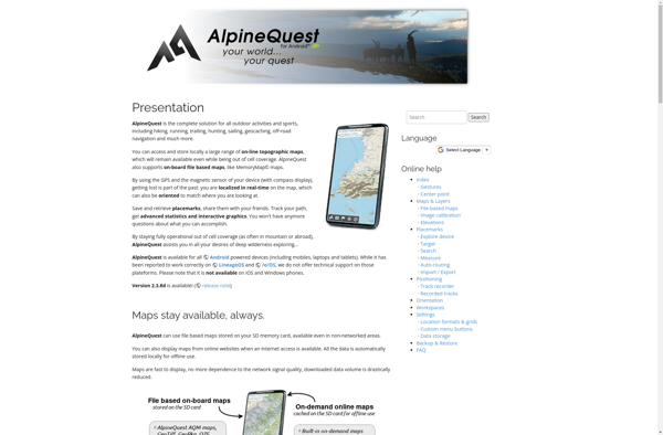
What is AlpineQuest?
AlpineQuest is a feature-rich mobile app designed specifically for outdoor enthusiasts who enjoy activities like hiking, trail running, mountain biking, and backcountry skiing. It combines detailed topographic maps with GPS tracking and routing capabilities to help users safely plan and navigate routes in mountainous areas.
Key features of AlpineQuest include:
Detailed topographic maps from multiple providers like USGS, OpenTopoMap, and others. Maps can be downloaded for offline use.
Route planning tools to map out hiking, biking, or backcountry ski routes on the map.
Built-in GPS tracking that shows real-time location on the map. Tracking can continue in the background if the app is closed.
Waypoint, track, and route recording with export options.
A large database of trails, routes, and points of interest contributed by the AlpineQuest community.
Safety tools like monitoring battery level, offline maps, and backtrack routing.
Integration with other apps for data like weather forecasts, avalanche bulletins, satellite imagery, and more.
Photo integration to tie pictures to routes, waypoints or tracks.
Works fully offline once maps are downloaded and extremely battery efficient.
With its rich set of map, recording, planning, tracking and community features focused on the backcountry, AlpineQuest is an essential app for hikers, trail runners, mountain bikers, backcountry skiers and anyone who spends time in mountainous areas.
Fantasy Hike is a fitness app that aims to motivate people to walk, run, and hike outdoors more often by gamifying the experience. Users create a custom avatar and are placed in a fantasy-themed virtual world full of mystical lands to explore.As they embark on real-world walking, running, or hiking...
OsmAnd (OpenStreetMap Automated Navigation Directions) is a free and open-source mobile map and navigation application developed for Android and iOS devices. It relies entirely on detailed, community-driven maps from the OpenStreetMap project and allows accessing them offline without an internet connection.Some of the key features and capabilities of OsmAnd include:Turn-by-turn...
MotionX GPS is a popular GPS and navigation app developed specifically for the iPhone. It provides turn-by-turn voice guided navigation with rich 3D maps. Key features include:Turn-by-turn driving and walking directions with voice guidanceOffline maps for navigation without an internet connectionTraffic information along your route and alternate routes to avoid...
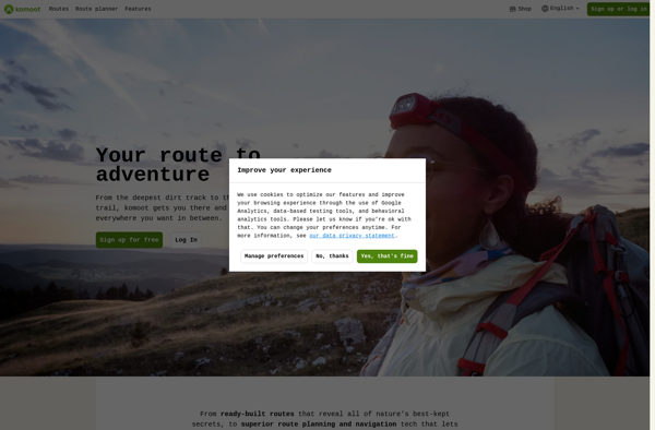
Komoot is a popular route planning and navigation app designed specifically for outdoor activities like cycling, hiking, and mountain biking. Its key features include:Detailed topographic maps with terrain info, trail conditions, and points of interestTurn-by-turn voice navigation that works offlinePlanning routes by choosing destinations or dragging routesElevation profiles and gradients...
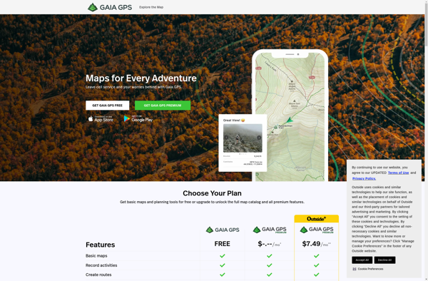
Gaia GPS is a popular mobile app designed specifically for backcountry exploration and offline navigation. It provides detailed topographic maps, aerial imagery, navigation tools, and information on public lands across the world to help users plan trips and navigate in remote areas.Key features of Gaia GPS include:Downloadable offline maps -...
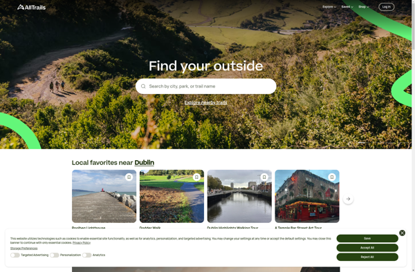
AllTrails is a digital guide to the outdoors, helping people explore and share information on hiking, biking, and trail running routes worldwide. The AllTrails website and mobile apps provide detailed topographic trail maps, directions to trailheads, photos and reviews of tens of thousands of trails across North America, Europe, Australia...
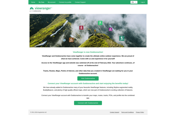
ViewRanger is an outdoor navigation app and website designed specifically for hiking, cycling, horse riding, and other outdoor activities. It provides users with detailed offline maps, interactive 3D views, route planning tools, GPS tracking features, and augmented reality overlays to enhance the outdoor experience.Some key features of ViewRanger include:Downloadable offline...
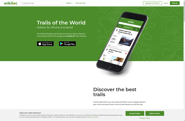
Wikiloc Outdoor Navigation GPS is a popular mobile app designed specifically for outdoor sports enthusiasts. It allows users to navigate trails and routes using GPS tracking, even when offline or without cell service. The app has a large database of user-created GPS trails that can be downloaded for offline use.Some...
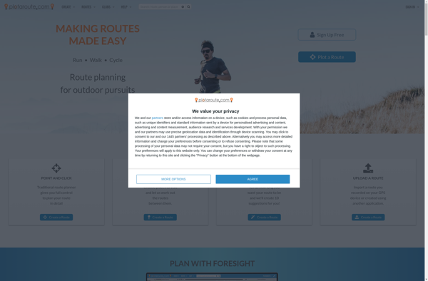
Plotaroute is route planning and analysis software designed specifically for cyclists and runners. It provides tools to map out routes on a map interface and view detailed elevation profiles to help plan optimal training routes.Some key features of Plotaroute:Interactive map interface to create custom routes by clicking on the mapAbility...
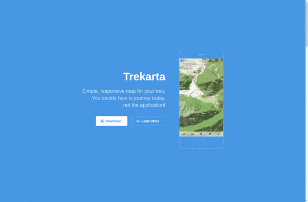
Trekarta is a popular software suite built specifically for trekking, hiking, nature exploration and outdoor adventure trips. It comes packed with a wide range of features to plan, record, organize and share wilderness adventures.Key features include:Interactive route planning on zoomable topographic mapsExtensive offline map data for most countries and regionsComprehensive...
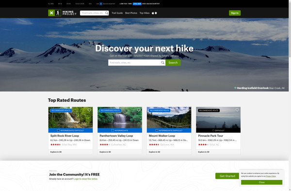
The Hiking Project is a free platform that helps people explore and share information on hiking trails across the United States. It is available as both a mobile app (for iOS and Android devices) and a website.The Hiking Project contains details on over 100,000 hiking trails, making it one of...
Transportr is an open-source public transportation app for Android devices. It is designed to help users search, plan, and navigate public transit systems in cities around the world.Some key features of Transportr include:Intuitive user interface for searching routes, planning trips, and viewing schedules and maps.Support for public transit systems in...
Hiking with Geeks is a social networking mobile app and website for hiking and outdoor enthusiasts. It allows users to connect with other like-minded people who enjoy hiking, backpacking, camping, and spending time outdoors.Some key features of Hiking with Geeks include:Create hiking events and invite others to join you on...