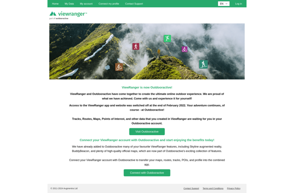
ViewRanger is a mobile app and website that provides outdoor navigation tools for hiking, cycling, and more. It offers offline maps, route planning, GPS tracking, augmented reality views, and community route sharing.
ViewRanger is a mobile app and website that provides outdoor navigation tools for hiking, cycling, and more. It offers offline maps, route planning, GPS tracking, augmented reality views, and community route sharing.
What is ViewRanger?
ViewRanger is an outdoor navigation app and website designed specifically for hiking, cycling, horse riding, and other outdoor activities. It provides users with detailed offline maps, interactive 3D views, route planning tools, GPS tracking features, and augmented reality overlays to enhance the outdoor experience.
Some key features of ViewRanger include:
Downloadable offline topographic and satellite map packs so you can navigate trails even without cell/data signal
Route planning tools to map out your hike, bike ride or other adventure before heading out
Turn-by-turn GPS navigation and tracking to follow a mapped route and record details like distance, time, elevation gain
Augmented reality so you can scan the landscape and see labels for mountains, lakes, trails overlaid in real-time
Community content like trail guides, route recommendations and photos shared by other ViewRanger users
Different user modes for hiking, cycling, horse riding, ski tours and water activities
Integrations with smart watches and adventure cameras to control navigation from your wrist and document adventures
With robust mapping capabilities, battery-efficient GPS monitoring, and community features, ViewRanger aims to help outdoor enthusiasts better plan trips, safely navigate to trails and points of interest, track fitness progress, and share their adventures. It is available as a mobile app for Android and iOS devices, along with a desktop website for planning routes before heading out.
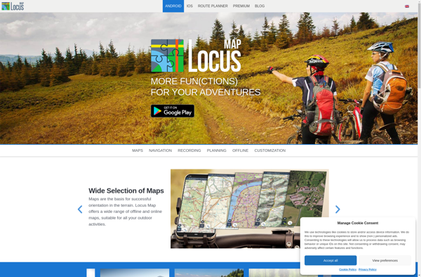
Locus Map is a feature-rich GPS navigation and tracking app designed specifically for outdoor activities like hiking, geocaching, cycling, and more. It works offline for reliability and lets you download detailed topographic and cycling maps to navigate on the go when data connectivity is limited.Key features include:Offline topographic, cycling, and...
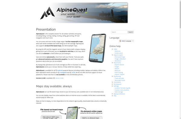
AlpineQuest is a feature-rich mobile app designed specifically for outdoor enthusiasts who enjoy activities like hiking, trail running, mountain biking, and backcountry skiing. It combines detailed topographic maps with GPS tracking and routing capabilities to help users safely plan and navigate routes in mountainous areas.Key features of AlpineQuest include:Detailed topographic...
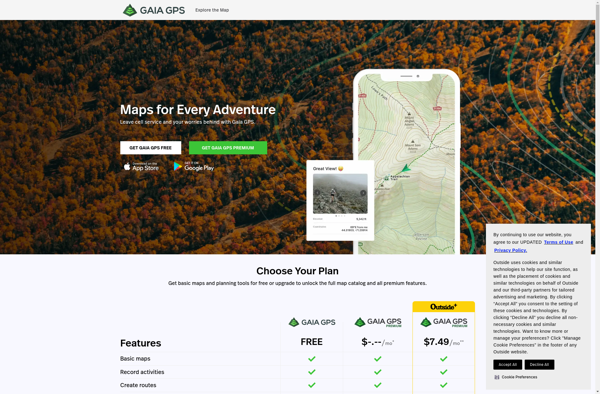
Gaia GPS is a popular mobile app designed specifically for backcountry exploration and offline navigation. It provides detailed topographic maps, aerial imagery, navigation tools, and information on public lands across the world to help users plan trips and navigate in remote areas.Key features of Gaia GPS include:Downloadable offline maps -...
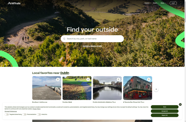
AllTrails is a digital guide to the outdoors, helping people explore and share information on hiking, biking, and trail running routes worldwide. The AllTrails website and mobile apps provide detailed topographic trail maps, directions to trailheads, photos and reviews of tens of thousands of trails across North America, Europe, Australia...
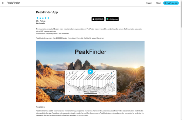
PeakFinder AR is an augmented reality mobile application available for both iOS and Android devices. It utilizes a phone's camera, GPS, compass, and tilt sensors to identify mountain peaks visible from the user's location.To use the app, users simply start it up and point their phone camera at the landscape....
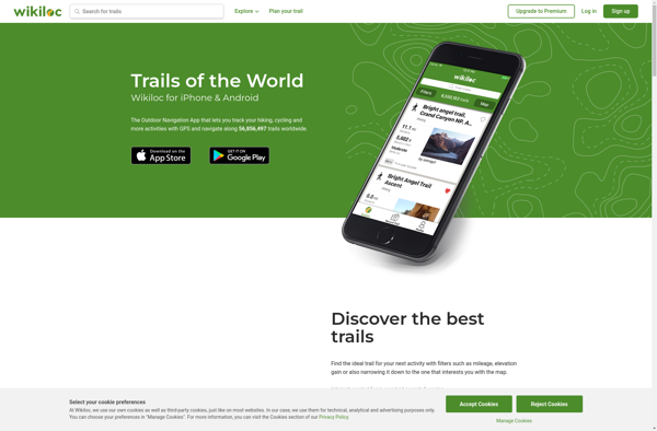
Wikiloc Outdoor Navigation GPS is a popular mobile app designed specifically for outdoor sports enthusiasts. It allows users to navigate trails and routes using GPS tracking, even when offline or without cell service. The app has a large database of user-created GPS trails that can be downloaded for offline use.Some...
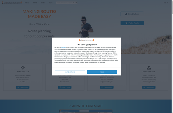
Plotaroute is route planning and analysis software designed specifically for cyclists and runners. It provides tools to map out routes on a map interface and view detailed elevation profiles to help plan optimal training routes.Some key features of Plotaroute:Interactive map interface to create custom routes by clicking on the mapAbility...
PeakVisor is a mobile app available for both iOS and Android devices that aims to enhance the hiking experience by enabling users to easily identify mountain peaks they see. It uses augmented reality technology along with the device's GPS, compass, and camera to determine the user's location and camera direction...
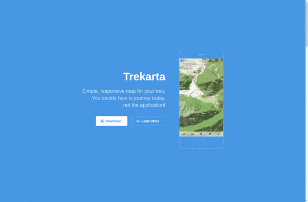
Trekarta is a popular software suite built specifically for trekking, hiking, nature exploration and outdoor adventure trips. It comes packed with a wide range of features to plan, record, organize and share wilderness adventures.Key features include:Interactive route planning on zoomable topographic mapsExtensive offline map data for most countries and regionsComprehensive...
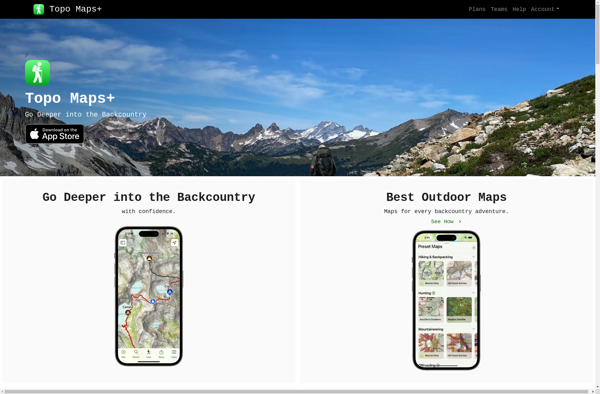
Topo Maps+ is a topographic map application designed specifically for iOS devices like the iPhone and iPad. It provides detailed, high-quality topographic hiking maps that can be used offline while exploring the outdoors.With Topo Maps+, users can download detailed maps by state and region for access even without cell or...