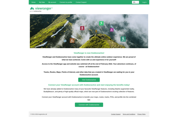
Wikiloc Outdoor Navigation GPS vs ViewRanger

Struggling to choose between Wikiloc Outdoor Navigation GPS and ViewRanger? Both products offer unique advantages, making it a tough decision.

Wikiloc Outdoor Navigation GPS is a Travel & Location solution with tags like gps, trails, routes, outdoor-activities, navigation.

It boasts features such as GPS navigation and tracking, Large database of user-created trails, Record and share your own GPS trails, Offline maps and trail downloads, Route planning and discovery, Social sharing and connecting with outdoor community and pros including Large selection of trails, Good for hiking, biking, running, etc, Can download maps for offline use, Active user community, Free to use basic features.

On the other hand, ViewRanger is a Travel & Location product tagged with hiking, cycling, navigation, gps, offline-maps, route-planning, tracking.

Its standout features include Offline topographic maps, Route planning and navigation, GPS tracking, Augmented reality navigation, Community route sharing, 3D flyover view, Elevation profiles, Weather forecasts, Photo sharing, Audio guides, and it shines with pros like Works offline, Large library of downloadable maps, Accurate GPS tracking, Augmented reality helpful for navigation, Can plan routes on desktop, Active user community, Affordable subscription.

To help you make an informed decision, we've compiled a comprehensive comparison of these two products, delving into their features, pros, cons, pricing, and more. Get ready to explore the nuances that set them apart and determine which one is the perfect fit for your requirements.

Wikiloc Outdoor Navigation GPS

Wikiloc Outdoor Navigation GPS

Wikiloc Outdoor Navigation GPS is a mobile app for outdoor enthusiasts to navigate trails and routes using GPS tracking. It has a large database of user-created GPS trails that can be downloaded for offline use. The app allows users to record, share, and find outdoor activities.

Categories:
gps trails routes outdoor-activities navigation

Wikiloc Outdoor Navigation GPS Features

  1. GPS navigation and tracking
  2. Large database of user-created trails
  3. Record and share your own GPS trails
  4. Offline maps and trail downloads
  5. Route planning and discovery
  6. Social sharing and connecting with outdoor community

Pricing

  • Freemium

Pros

Large selection of trails

Good for hiking, biking, running, etc

Can download maps for offline use

Active user community

Free to use basic features

Cons

Some more advanced features require paid subscription

Battery drain from constant GPS

App can be buggy or crash

Limited trail info/details

User-submitted content quality varies


ViewRanger

ViewRanger

ViewRanger is a mobile app and website that provides outdoor navigation tools for hiking, cycling, and more. It offers offline maps, route planning, GPS tracking, augmented reality views, and community route sharing.

Categories:
hiking cycling navigation gps offline-maps route-planning tracking

ViewRanger Features

  1. Offline topographic maps
  2. Route planning and navigation
  3. GPS tracking
  4. Augmented reality navigation
  5. Community route sharing
  6. 3D flyover view
  7. Elevation profiles
  8. Weather forecasts
  9. Photo sharing
  10. Audio guides

Pricing

  • Freemium
  • Subscription-based

Pros

Works offline

Large library of downloadable maps

Accurate GPS tracking

Augmented reality helpful for navigation

Can plan routes on desktop

Active user community

Affordable subscription

Cons

Subscription required for full functionality

Battery drain from constant GPS

No free version

Limited maps available for free

Route planning tools could be better