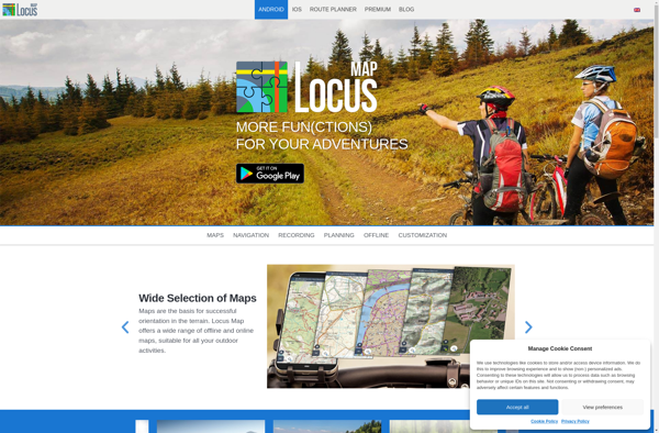
Locus Map is an advanced outdoor navigation app for Android devices. It offers offline maps, GPS tracking with rich statistics, route planning and sharing, geocaching, and more. Useful for hiking, cycling, traveling, and other outdoor activities.
Locus Map offers offline maps, GPS tracking with rich statistics, route planning and sharing, geocaching, and more for hiking, cycling, traveling, and other outdoor activities.
What is Locus Map?
Locus Map is a feature-rich GPS navigation and tracking app designed specifically for outdoor activities like hiking, geocaching, cycling, and more. It works offline for reliability and lets you download detailed topographic and cycling maps to navigate on the go when data connectivity is limited.
Key features include:
Offline topographic, cycling, and hiking maps for navigation without an internet connection
GPS position tracking with rich statistics like speed, altitude, etc.
Waypoint management, route planning and recording, tracking back feature
Geocaching integration to find caches and log your finds
Sun, moon phase calendars integrated into map
Works offline for reliability and lower battery usage
Use with Bluetooth GPS receivers and smartwatches
Export GPX tracks, share routes, import KML files
And much more
With robust navigation tools tailored to the outdoors, Locus Map is one of the most powerful apps for hikers, cyclists, trail runners, travelers, and other adventurers who require advanced yet reliable offline features.
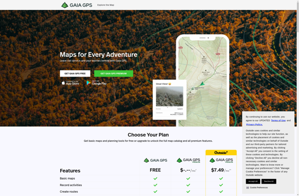
Gaia GPS is a popular mobile app designed specifically for backcountry exploration and offline navigation. It provides detailed topographic maps, aerial imagery, navigation tools, and information on public lands across the world to help users plan trips and navigate in remote areas.Key features of Gaia GPS include:Downloadable offline maps -...
Google Maps Navigation is a free GPS navigation app developed by Google for Android and iOS devices. It utilizes Google Maps and crowd-sourced traffic data to provide turn-by-turn voice guided navigation and real-time traffic updates.Key features include:Turn-by-turn voice guided navigation with automatic reroutingReal-time traffic updates using crowdsourced dataLane guidance and...
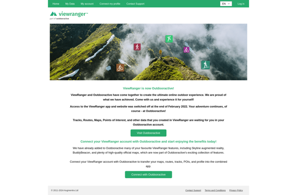
ViewRanger is an outdoor navigation app and website designed specifically for hiking, cycling, horse riding, and other outdoor activities. It provides users with detailed offline maps, interactive 3D views, route planning tools, GPS tracking features, and augmented reality overlays to enhance the outdoor experience.Some key features of ViewRanger include:Downloadable offline...
BlackBerry Maps is a mobile map application developed by BlackBerry Limited specifically for BlackBerry 10 devices. It comes pre-installed on most BlackBerry 10 smartphones and provides a variety of mapping and navigation features.Some of the key capabilities of BlackBerry Maps include:Turn-by-turn GPS navigation with voice guidanceTraffic information with automatic rerouting...
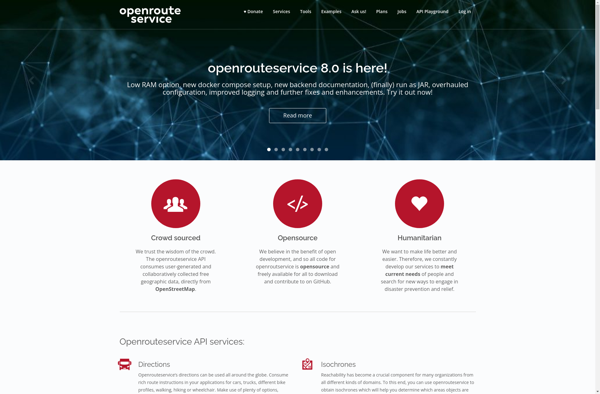
OpenRouteService.org (ORS) is an open source routing service developed by HeiGIT (Heidelberg Institute for Geoinformation Technology) at Heidelberg University. It provides services for route planning and navigation for various modes of transportation including driving, walking, and cycling.Some key features of ORS include:Supports route planning and navigation for driving cars, riding...
BlackBerry Traffic is a mobile application developed by BlackBerry Limited to provide users with real-time traffic information and routing assistance. The app is available for BlackBerry 10 and Android devices.Key features of BlackBerry Traffic include:Real-time traffic flow data - the app shows current traffic conditions on roads using colored lines...
Mobile GMaps is a mobile app developed by Google that brings the capabilities of Google Maps to your smartphone or tablet. It allows you to access many of the popular features of Google Maps on the go.Some of the key things you can do with Mobile GMaps include:View interactive maps...
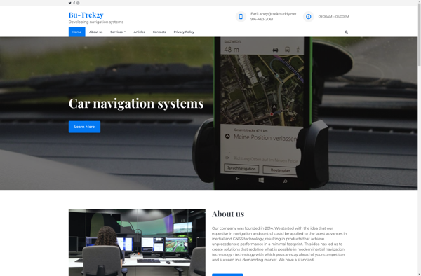
TrekBuddy is a versatile backpacking and hiking app that aids outdoor enthusiasts in planning and documenting their adventures in nature. Whether heading out for a long-distance thru hike, a multi-day loop, or just a quick overnight trip, TrekBuddy streamlines the process of organizing gear lists, dialing in routes, booking campsites,...
FoxtrotGPS is a feature-rich, open source GPS tracking & navigation app for Android. It enables users to record, save, and share GPX tracks of their routes and activities like hiking, cycling, running etc. Some key features include:Real-time GPS position & movement tracking on mapRecording, managing and exporting tracks as GPX...
Mobile Trail Explorer is a popular mobile app designed specifically for hikers, backpackers, trail runners, mountain bikers, and other outdoor adventure seekers. The app allows users to easily discover new trails based on location, difficulty, distance, amenities, and other parameters. Once a trail is selected, Mobile Trail Explorer provides a...
Maplorer is a powerful yet easy-to-use web-based mapping and geospatial data visualization platform. It provides a suite of tools for creating insightful map visualizations, performing spatial analysis, managing geographic data sets, and collaborating with team members.With Maplorer, users can quickly create custom web maps by uploading their own geospatial data...
GPS voice navigation software is designed to provide turn-by-turn voice guided directions while driving to help drivers navigate to their desired destinations. It works by accessing GPS satellite signals to accurately track the vehicle's location, then using embedded street-level mapping data to calculate optimal routes to the specified destination.As the...