Mobile GMaps is a mobile app that provides access to Google Maps features on your phone or tablet. It allows you to view maps, get directions, find nearby places, share locations, save maps for offline use, and more.
Mobile GMaps is a mobile app that provides access to Google Maps features on your phone or tablet. It allows you to view maps, get directions, find nearby places, share locations, save maps for offline use, and more.
What is Mobile GMaps?
Mobile GMaps is a mobile app developed by Google that brings the capabilities of Google Maps to your smartphone or tablet. It allows you to access many of the popular features of Google Maps on the go.
Some of the key things you can do with Mobile GMaps include:
View interactive maps of locations around the world
Get turn-by-turn driving, walking, bicycling and public transit directions. Traffic information is also provided where available.
Search for nearby restaurants, stores, hotels, ATMs, gas stations and other points of interest. You can view information, hours, ratings and more.
Sync saved places like home and work addresses for quick access
Share your location or directions with friends via messaging apps, email or other methods
Save areas offline for access when internet connectivity is limited
Get personalized recommendations for places you might like based on places you've rated, visited or added
Quickly view train, bus, subway routes and schedules in supported cities
Overall, Mobile GMaps provides the most popular features of Google Maps optimized for use on mobile phones and tablets. It allows you access to interactive maps, navigation services, local business search and personalized recommendations on-the-go.
Mobile GMaps Features
Features
View maps online or offline
Get voice-guided turn-by-turn driving, biking, transit and walking directions
Find nearby restaurants, gas stations, cafés and other places
Search for addresses and landmarks
Save maps to your phone or tablet for offline access
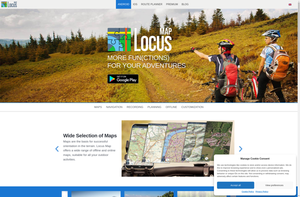
Locus Map is a feature-rich GPS navigation and tracking app designed specifically for outdoor activities like hiking, geocaching, cycling, and more. It works offline for reliability and lets you download detailed topographic and cycling maps to navigate on the go when data connectivity is limited.Key features include:Offline topographic, cycling, and...
What Is MAPS.ME?MAPS.ME is a mobile maps and navigation app that provides detailed offline maps for over 200 countries. Originally open source, it was one of the first apps to make OpenStreetMap data accessible on mobile with a polished interface.Key FeaturesUsers download maps by country or region for fully offline...
OsmAnd (OpenStreetMap Automated Navigation Directions) is a free and open-source mobile map and navigation application developed for Android and iOS devices. It relies entirely on detailed, community-driven maps from the OpenStreetMap project and allows accessing them offline without an internet connection.Some of the key features and capabilities of OsmAnd include:Turn-by-turn...
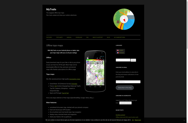
MyTrails is a custom trail mapping application designed for outdoor enthusiasts who want to record details of trails they have hiked, biked, or explored. With MyTrails, users can log vital stats for each trail like length, elevation gain, difficulty rating, etc. as well as document their experience through photos, maps,...
What Is Organic Maps?Organic Maps is a free, open-source maps and navigation app for Android and iOS. It uses OpenStreetMap data and works entirely offline — no internet connection needed for navigation, search, or route planning.Key FeaturesThe app provides turn-by-turn navigation for driving, cycling, and walking with voice guidance. Maps...
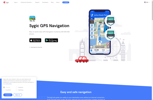
Sygic GPS Navigation is a popular offline navigation application for Android and iOS devices. It allows users to navigate anywhere in the world without needing an internet or data connection. Some key features of Sygic include:Detailed maps of Europe, North America, Australia, Brazil, and other regions that are optimized for...
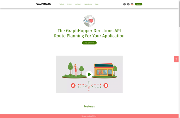
GraphHopper is an open-source Java-based routing engine optimized for speed and memory efficiency. It uses road network data from OpenStreetMap to calculate the best route between locations for various modes of transportation including driving cars, riding bikes, walking, and more.Some key features of GraphHopper include:Fast routing calculations thanks to its...
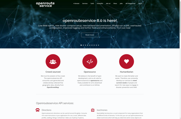
OpenRouteService.org (ORS) is an open source routing service developed by HeiGIT (Heidelberg Institute for Geoinformation Technology) at Heidelberg University. It provides services for route planning and navigation for various modes of transportation including driving, walking, and cycling.Some key features of ORS include:Supports route planning and navigation for driving cars, riding...