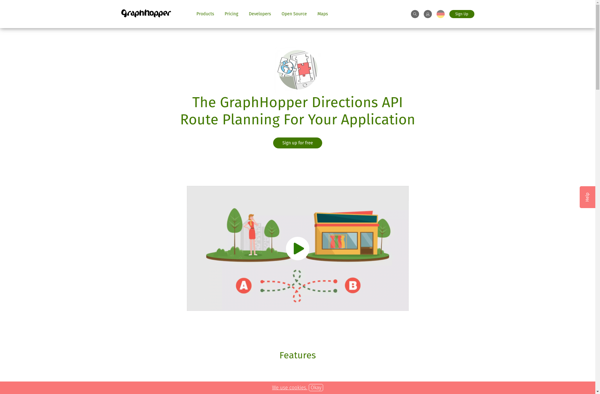
GraphHopper is an open-source routing engine for various forms of transportation. It is optimized for fast calculations and uses road network data from OpenStreetMap to find the best route between locations for driving, walking, cycling and more.
Open-source routing engine optimized for fast calculations using OpenStreetMap road network data for various forms of transportation, including driving, walking, cycling.
What is GraphHopper ?
GraphHopper is an open-source Java-based routing engine optimized for speed and memory efficiency. It uses road network data from OpenStreetMap to calculate the best route between locations for various modes of transportation including driving cars, riding bikes, walking, and more.
Some key features of GraphHopper include:
Fast routing calculations thanks to its speed-optimized algorithms
Flexible support for different vehicle profiles like car, bike, foot, hiking, wheelchair etc.
Takes into account turn restrictions and one-way streets for accurate routing
Optional elevation data for calculating ascent and descent
Supports public transit routing with GTFS data
Web API for easy integration into applications
Active open source development community
GraphHopper is written in Java and licensed under Apache License 2.0. It can be deployed on-premises or hosted on a cloud platform. The routing API allows integration with apps and services on web, mobile, and server platforms. With its high performance and flexibility, GraphHopper is a popular choice as a routing engine for navigation and logistics applications.
GraphHopper Features
Features
Open source routing engine
Uses OpenStreetMap data
Supports driving, walking, cycling and other modes of transport
Fast route calculation
Web API for querying routes
Supports multiple vehicle profiles
Can find shortest or fastest routes
Has turn-by-turn instructions
Can optimize routes for multiple stops
Has traffic avoidance
Pricing
Open Source
Pros
Free and open source
Very fast route calculation
Flexible transportation mode support
Uses community maintained OpenStreetMap data
Has API for integration
Active development community
Cons
Limited user-friendly interfaces
Requires technical expertise to setup and use
Routing quality depends on OpenStreetMap data completeness
Google Maps Navigation is a free GPS navigation app developed by Google for Android and iOS devices. It utilizes Google Maps and crowd-sourced traffic data to provide turn-by-turn voice guided navigation and real-time traffic updates.Key features include:Turn-by-turn voice guided navigation with automatic reroutingReal-time traffic updates using crowdsourced dataLane guidance and...
BlackBerry Maps is a mobile map application developed by BlackBerry Limited specifically for BlackBerry 10 devices. It comes pre-installed on most BlackBerry 10 smartphones and provides a variety of mapping and navigation features.Some of the key capabilities of BlackBerry Maps include:Turn-by-turn GPS navigation with voice guidanceTraffic information with automatic rerouting...
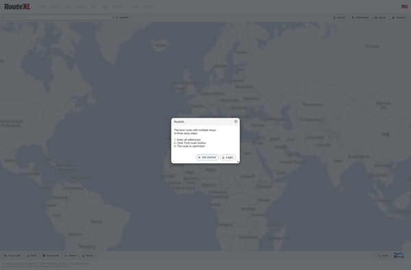
RouteXL is an advanced route planning and optimization software designed to help businesses that need to plan delivery routes and driver schedules. It is used by companies ranging from small local delivery services to large national shippers and distributors.The key capabilities and benefits of RouteXL include:Intuitive route mapping interface -...
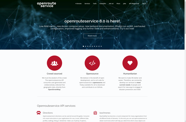
OpenRouteService.org (ORS) is an open source routing service developed by HeiGIT (Heidelberg Institute for Geoinformation Technology) at Heidelberg University. It provides services for route planning and navigation for various modes of transportation including driving, walking, and cycling.Some key features of ORS include:Supports route planning and navigation for driving cars, riding...
BlackBerry Traffic is a mobile application developed by BlackBerry Limited to provide users with real-time traffic information and routing assistance. The app is available for BlackBerry 10 and Android devices.Key features of BlackBerry Traffic include:Real-time traffic flow data - the app shows current traffic conditions on roads using colored lines...
Wisepilot is a comprehensive yet intuitive project management software designed specifically for creative agencies, marketing and production teams. It provides a complete set of features to help you plan projects, break down complex tasks, assign work to team members, track time and collaborate smoothly at every stage.Key features of Wisepilot...
Mobile GMaps is a mobile app developed by Google that brings the capabilities of Google Maps to your smartphone or tablet. It allows you to access many of the popular features of Google Maps on the go.Some of the key things you can do with Mobile GMaps include:View interactive maps...
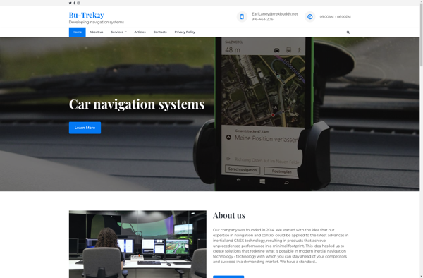
TrekBuddy is a versatile backpacking and hiking app that aids outdoor enthusiasts in planning and documenting their adventures in nature. Whether heading out for a long-distance thru hike, a multi-day loop, or just a quick overnight trip, TrekBuddy streamlines the process of organizing gear lists, dialing in routes, booking campsites,...
Mobile Trail Explorer is a popular mobile app designed specifically for hikers, backpackers, trail runners, mountain bikers, and other outdoor adventure seekers. The app allows users to easily discover new trails based on location, difficulty, distance, amenities, and other parameters. Once a trail is selected, Mobile Trail Explorer provides a...
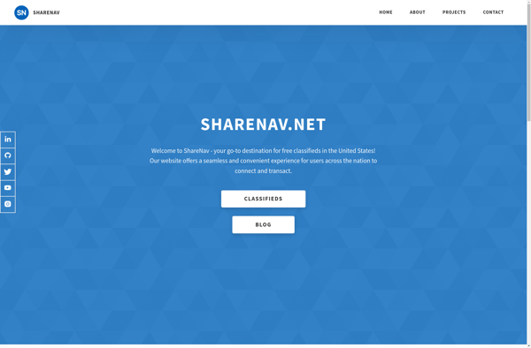
ShareNav is a browser extension and web application designed to help users organize, discover, and share links for research and reference. It serves as a central platform to capture and access references encountered during Web browsing and reading.Some of the key features of ShareNav include:Save links, PDFs, images, and snippets...
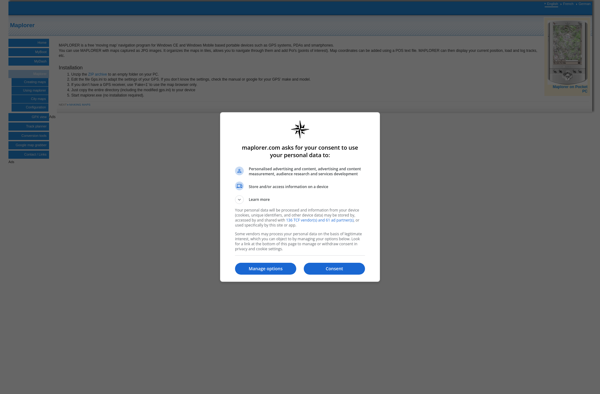
Maplorer is a powerful yet easy-to-use web-based mapping and geospatial data visualization platform. It provides a suite of tools for creating insightful map visualizations, performing spatial analysis, managing geographic data sets, and collaborating with team members.With Maplorer, users can quickly create custom web maps by uploading their own geospatial data...