Maplorer
Maplorer: Web-Based Mapping and Geospatial Data Visualization Platform
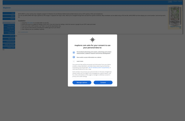
Maplorer is a web-based mapping and geospatial data visualization platform. It allows users to create custom maps, upload geospatial data sets, perform analysis, and share maps and data with others.
What is Maplorer?
Maplorer is a powerful yet easy-to-use web-based mapping and geospatial data visualization platform. It provides a suite of tools for creating insightful map visualizations, performing spatial analysis, managing geographic data sets, and collaborating with team members.
With Maplorer, users can quickly create custom web maps by uploading their own geospatial data files such as shapefiles, GeoJSON, KML, and raster images. Hundreds of customizable basemaps are available to contextualize data sets. Location tools allow users to geocode addresses and generate coordinates for points of interest.
Data management features provide a centralized hub for organizing, describing, manipulating, and sharing geographic data files. Users have complete ownership and control over their private data, with options to selectively publish to the broader Maplorer community.
The analysis toolset makes it possible to modify data on-the-fly and gain insights through heat maps, cluster identification, geocoding, intersection, and proximity analysis. Results can be exported or turned into new map layers for continued iteration.
Finally, Maplorer simplifies map sharing and collaboration. Users can create groups, share maps and data selectively with team members, and publish public maps all with fine-grained permission controls. Dynamic map embedding tools make it easy to insert interactive Maplorer maps onto external websites and blog posts.
Maplorer Features
Features
- Web-based mapping platform
- Upload and visualize geospatial data
- Perform spatial analysis
- Create and share custom maps
Pricing
- Freemium
- Subscription-Based
Pros
Cons
Official Links
Reviews & Ratings
Login to ReviewThe Best Maplorer Alternatives
View all Maplorer alternatives with detailed comparison →
Top Travel & Location and Mapping and other similar apps like Maplorer
Here are some alternatives to Maplorer:
Suggest an alternative ❐Locus Map
MAPS.ME

OruxMaps

Sygic GPS Navigation
BlackBerry Maps
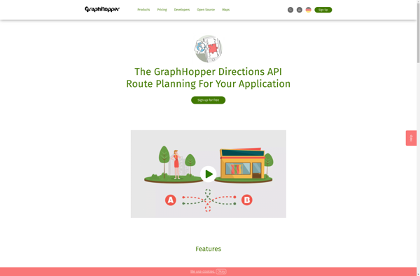
GraphHopper
Navmii

Scout by Telenav

Windows Maps

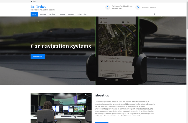
TrekBuddy
Trapster

Nav4All