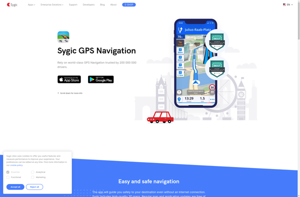
Sygic GPS Navigation is a popular offline navigation app for Android and iOS devices. It provides detailed maps, turn-by-turn voice guided navigation, speed limit warnings, and traffic information without requiring an internet connection.
Sygic GPS Navigation is a popular offline navigation app for Android and iOS devices. It provides detailed maps, turn-by-turn voice guided navigation, speed limit warnings, and traffic information without requiring an internet connection.
What is Sygic GPS Navigation?
Sygic GPS Navigation is a popular offline navigation application for Android and iOS devices. It allows users to navigate anywhere in the world without needing an internet or data connection. Some key features of Sygic include:
Detailed maps of Europe, North America, Australia, Brazil, and other regions that are optimized for offline use
Turn-by-turn voice guided navigation that speaks street names and directions
Speed limit warnings and adjustable speed limit alerts
Traffic information including live traffic, accidents, construction, and road closures
Lane guidance and junction views for complex intersections
Frequent map updates to ensure accuracy of new roads and addresses
Support for planning routes by car, on foot, or by public transit
Option to save favorite places and recent destinations
Head-up display (HUD) mode for easy viewing while driving
Compatibility with Android Auto and Apple CarPlay
Overall, Sygic GPS Navigation provides extremely detailed offline maps and navigation without requiring mobile data or roaming charges while traveling. The voice-guided turn-by-turn directions and traffic alerts make it easy to navigate unfamiliar areas.
Google Maps Navigation is a free GPS navigation app developed by Google for Android and iOS devices. It utilizes Google Maps and crowd-sourced traffic data to provide turn-by-turn voice guided navigation and real-time traffic updates.Key features include:Turn-by-turn voice guided navigation with automatic reroutingReal-time traffic updates using crowdsourced dataLane guidance and...
BlackBerry Maps is a mobile map application developed by BlackBerry Limited specifically for BlackBerry 10 devices. It comes pre-installed on most BlackBerry 10 smartphones and provides a variety of mapping and navigation features.Some of the key capabilities of BlackBerry Maps include:Turn-by-turn GPS navigation with voice guidanceTraffic information with automatic rerouting...
Windows Maps is a mapping service developed by Microsoft as part of the company's Windows services. It provides users with interactive road maps, aerial and streetside imagery, walking and driving directions, traffic information, location search, and the ability to save and sync collections like favorite places and routes across devices.Key...
Garmin StreetPilot Onboard is an in-vehicle GPS navigation system made by Garmin. It comes preloaded with detailed maps that provide turn-by-turn directions and voice guidance to help drivers navigate to their destinations.Key features of StreetPilot Onboard include:Millions of points of interest like gas stations, restaurants, hotels, ATMs, etc.Lane assist with...
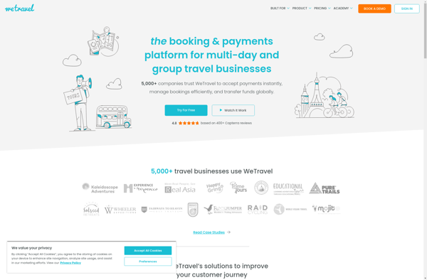
WeTravel is an innovative online travel platform launched in 2015 that is revolutionizing the way people research, plan, and book travel. With its easy-to-use interface and industry-leading search functionalities, WeTravel has become a go-to site for travelers looking to streamline trip planning and booking.At the core of WeTravel's offerings is...
GeoNET is an open-source desktop application for geographic network analysis. Developed by CHAMP (Center for Health Assessment, Monitoring, and Policy), GeoNET provides tools for modeling, visualizing, and analyzing spatial networks such as transportation, infrastructure, and utility systems.With GeoNET, users can import existing GIS network datasets, or create new network models...
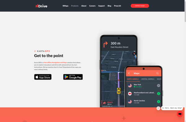
Karta GPS is a mapping, navigation, and GPS tracking app designed specifically for outdoor adventures like hiking, backpacking, cycling, and more. It provides topographic and terrain maps that work offline so you can navigate trails and rural areas without cell service.Some key features of Karta GPS include:Detailed topographic maps with...
WalkWay Navi is a pedestrian navigation and route planning app for Android and iOS devices. It is designed specifically for walking and public transit navigation in cities and urban areas.Key features of WalkWay Navi include:Turn-by-turn walking directions with voice guidanceOffline vector maps that work without an internet connectionLocal search for...
BlackBerry Traffic is a mobile application developed by BlackBerry Limited to provide users with real-time traffic information and routing assistance. The app is available for BlackBerry 10 and Android devices.Key features of BlackBerry Traffic include:Real-time traffic flow data - the app shows current traffic conditions on roads using colored lines...
Wisepilot is a comprehensive yet intuitive project management software designed specifically for creative agencies, marketing and production teams. It provides a complete set of features to help you plan projects, break down complex tasks, assign work to team members, track time and collaborate smoothly at every stage.Key features of Wisepilot...
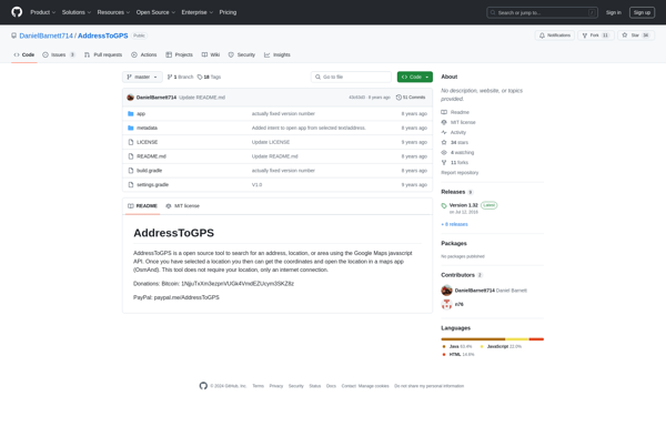
AddressToGPS is a Windows-based geocoding software used to convert street addresses into geographic coordinates like latitude and longitude. It has an easy-to-use interface where users can enter addresses, which are then converted into GPS coordinates that can be used in mapping software and GPS devices.Some key features of AddressToGPS include:Works...
Mobile GMaps is a mobile app developed by Google that brings the capabilities of Google Maps to your smartphone or tablet. It allows you to access many of the popular features of Google Maps on the go.Some of the key things you can do with Mobile GMaps include:View interactive maps...
TrekBuddy is a versatile backpacking and hiking app that aids outdoor enthusiasts in planning and documenting their adventures in nature. Whether heading out for a long-distance thru hike, a multi-day loop, or just a quick overnight trip, TrekBuddy streamlines the process of organizing gear lists, dialing in routes, booking campsites,...
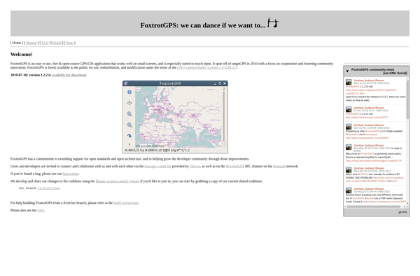
FoxtrotGPS is a feature-rich, open source GPS tracking & navigation app for Android. It enables users to record, save, and share GPX tracks of their routes and activities like hiking, cycling, running etc. Some key features include:Real-time GPS position & movement tracking on mapRecording, managing and exporting tracks as GPX...
AutoMapa is an open source desktop application designed specifically for creating interactive and zoomable maps. It provides a user-friendly graphical interface that allows users to easily import a variety of spatial data sets including shapefiles, geoJSON files, KML files, and more.Once data sets are imported, AutoMapa provides extensive styling and...
Mobile Trail Explorer is a popular mobile app designed specifically for hikers, backpackers, trail runners, mountain bikers, and other outdoor adventure seekers. The app allows users to easily discover new trails based on location, difficulty, distance, amenities, and other parameters. Once a trail is selected, Mobile Trail Explorer provides a...
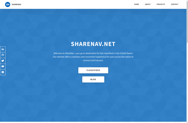
ShareNav is a browser extension and web application designed to help users organize, discover, and share links for research and reference. It serves as a central platform to capture and access references encountered during Web browsing and reading.Some of the key features of ShareNav include:Save links, PDFs, images, and snippets...
Maplorer is a powerful yet easy-to-use web-based mapping and geospatial data visualization platform. It provides a suite of tools for creating insightful map visualizations, performing spatial analysis, managing geographic data sets, and collaborating with team members.With Maplorer, users can quickly create custom web maps by uploading their own geospatial data...
Gokivo Navigator is a free, open-source web browser developed as an alternative to more complex browsers. It was created with simplicity, speed, and ease-of-use as the main priorities.The interface has been designed to be clean and minimal, allowing users to focus on the web content rather than the browser itself....
Nav4All is an open-source navigation software application designed specifically to meet the needs of people with disabilities that impact mobility and navigation. It was created by a non-profit organization focused on developing helpful technologies for the disability community.The software provides customizable verbal prompts, sounds, and haptic feedback through connected devices...
GPS voice navigation software is designed to provide turn-by-turn voice guided directions while driving to help drivers navigate to their desired destinations. It works by accessing GPS satellite signals to accurately track the vehicle's location, then using embedded street-level mapping data to calculate optimal routes to the specified destination.As the...