AutoMapa is an open source desktop application for creating interactive and zoomable maps. It allows users to import spatial data sets and stylize them to create custom, interactive maps for analysis and visualization.
An open source desktop application for creating interactive and zoomable maps, allowing users to import spatial data sets and stylize them to create custom, interactive maps for analysis and visualization.
What is AutoMapa?
AutoMapa is an open source desktop application designed specifically for creating interactive and zoomable maps. It provides a user-friendly graphical interface that allows users to easily import a variety of spatial data sets including shapefiles, geoJSON files, KML files, and more.
Once data sets are imported, AutoMapa provides extensive styling and symbolization options to allow users to customize the visual appearance of map features. Different color schemes, transparency effects, scaled symbols, and labels can be applied. AutoMapa leverages zooming and panning capabilities to allow users to explore data sets at multiple scales.
Some key features and capabilities of AutoMapa include:
Import spatial vector and raster data
Style map features with colors, symbols, scale-based symbols, transparency effects, and labels
Interactive zooming and panning to explore data sets at multiple map scales
Export maps to common image formats like JPEG, PNG, SVG and PDF
Print full resolution maps with customizable print layouts
Extend functionality with Python plugins
Completely open source with community-driven development
AutoMapa empowers users to create compelling, custom interactive maps for visual analysis and presentation without needing advanced GIS expertise or proprietary software. Its intuitive workflow allows users to quickly go from raw geospatial data to an interactive, customized cartographic product.
Waze is a crowd-sourced GPS navigation and traffic app launched in 2008. It provides turn-by-turn navigation along with real-time traffic updates, road hazard reports, and user-submitted edits of roads and addresses.Key features of Waze include:Real-time traffic updates - Users can report accidents, traffic jams, police traps, etc. to alert other...
OsmAnd (OpenStreetMap Automated Navigation Directions) is a free and open-source mobile map and navigation application developed for Android and iOS devices. It relies entirely on detailed, community-driven maps from the OpenStreetMap project and allows accessing them offline without an internet connection.Some of the key features and capabilities of OsmAnd include:Turn-by-turn...
MotionX GPS is a popular GPS and navigation app developed specifically for the iPhone. It provides turn-by-turn voice guided navigation with rich 3D maps. Key features include:Turn-by-turn driving and walking directions with voice guidanceOffline maps for navigation without an internet connectionTraffic information along your route and alternate routes to avoid...
HERE WeGo is a free map and navigation app developed by HERE Technologies for iOS and Android devices. It allows users to navigate by car, public transportation, foot or bike using turn-by-turn voice guided directions. Key features of HERE WeGo include:Offline maps - Download maps to your device so you...
What Is Organic Maps?Organic Maps is a free, open-source maps and navigation app for Android and iOS. It uses OpenStreetMap data and works entirely offline — no internet connection needed for navigation, search, or route planning.Key FeaturesThe app provides turn-by-turn navigation for driving, cycling, and walking with voice guidance. Maps...
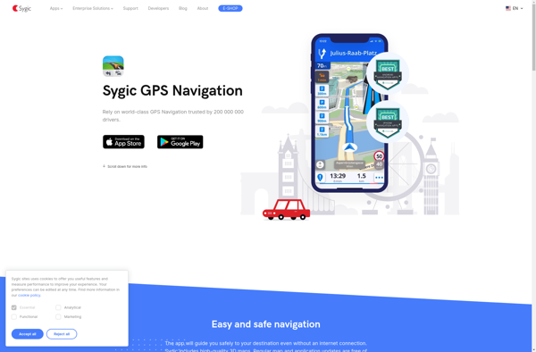
Sygic GPS Navigation is a popular offline navigation application for Android and iOS devices. It allows users to navigate anywhere in the world without needing an internet or data connection. Some key features of Sygic include:Detailed maps of Europe, North America, Australia, Brazil, and other regions that are optimized for...
TomTom GO Mobile is a free mobile navigation and mapping app developed by TomTom for iOS and Android smartphones. It allows users to navigate by car or on foot using 3D maps that provide detailed street information, landmarks, traffic data, and turn-by-turn directions.Key features of TomTom GO Mobile include:Turn-by-turn voice...
iGO My Way is a popular navigation and mapping application for Android and iOS devices. It provides turn-by-turn voice guided GPS navigation for driving, walking and public transit routes. Some of the key features of iGO My Way include:Offline maps - Maps can be downloaded to your device so navigation...
NAVIGON is a popular navigation and route planning app developed by Garmin for iOS and Android smartphones and tablets. It offers turn-by-turn GPS navigation with voice guidance to help users navigate to their destinations.Key features of NAVIGON include:Detailed maps of North America, Europe, Australia and New Zealand with free lifetime...
MotionX GPS Drive is a feature-rich GPS navigation and tracking app developed specifically for the iPhone. It provides turn-by-turn voice guided navigation to help users navigate to their destination. Some key features include:Real-time traffic alerts to avoid congestionAccurate voice guided navigation with street namesRoute planning with multiple stopoversTracking features to...
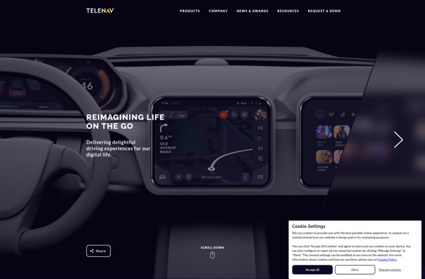
Scout by Telenav is a free GPS navigation and maps app available for Android and iOS. It provides turn-by-turn voice guided navigation to help you get to your destination quickly and easily. Some key features of Scout include:Traffic avoidance - Scout will automatically route you around traffic jams to save...
MapFactor Navigator is a popular free GPS navigation app for Android and iOS devices. It provides turn-by-turn voice guided navigation using OpenStreetMaps, allowing users to navigate to a destination address or point of interest. Key features of MapFactor Navigator include:Voice guided navigation with street names pronounced2D and 3D map viewsTraffic...