AddressToGPS icon

AddressToGPS

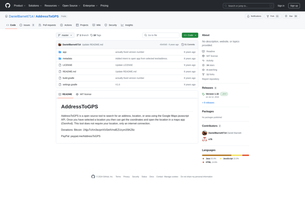
AddressToGPS is a desktop software that allows users to convert street addresses into GPS coordinates. It has a simple interface where users can enter addresses, which are then geocoded into latitude and longitude coordinates. The software works offline and has data for addresses in over 200 countries.

What is AddressToGPS?

AddressToGPS is a Windows-based geocoding software used to convert street addresses into geographic coordinates like latitude and longitude. It has an easy-to-use interface where users can enter addresses, which are then converted into GPS coordinates that can be used in mapping software and GPS devices.

Some key features of AddressToGPS include:

  • Works completely offline - no internet connection required once the software and address data is downloaded
  • Includes address data for over 200 countries worldwide
  • Allows batch conversion of multiple addresses at once
  • Outputs several commonly used geographic coordinate formats like Degrees Minutes Seconds, Degrees Decimal Minutes, and Decimal Degrees
  • Free trial available to test software before purchasing

AddressToGPS simplifies the process of geocoding addresses for both individual and business users. The offline address data ensures reliable conversions even without an internet connection. It's a cost-effective, easy-to-use tool for anyone who needs to assign geographic coordinates to street addresses for usage in digital maps, GPS navigation, asset tracking systems, dispatch software, and more.

The Best AddressToGPS Alternatives

Top Apps like AddressToGPS

Google Maps, Waze, MAPS.ME, OsmAnd, HERE WeGo, Sygic GPS Navigation, Google Maps Navigation, Apple Maps, TransforMap, 2GIS, Magic Earth are some alternatives to AddressToGPS.

Google Maps

Google Maps is a web mapping platform and consumer application offered by Google. It offers satellite imagery, aerial photography, street maps, 360° interactive panoramic views of streets, real-time traffic conditions, and route planning for traveling by foot, car, bicycle and air, or public transportation.Key features of Google Maps include:Interactive...

Waze

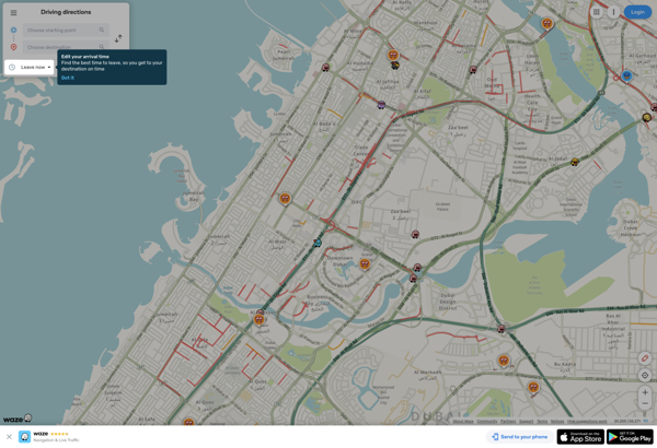
Waze is a crowd-sourced GPS navigation and traffic app launched in 2008. It provides turn-by-turn navigation along with real-time traffic updates, road hazard reports, and user-submitted edits of roads and addresses.Key features of Waze include:Real-time traffic updates - Users can report accidents, traffic jams, police traps, etc. to alert...

MAPS.ME

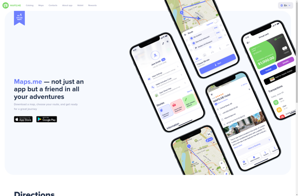
MAPS.ME is a popular free mobile app that provides offline maps and turn-by-turn GPS navigation for over 200 countries around the world. It was launched in 2012 by MapsWithMe GmbH and allows users to download highly detailed OpenStreetMap maps to their device for access completely offline.Some key features of MAPS...

OsmAnd

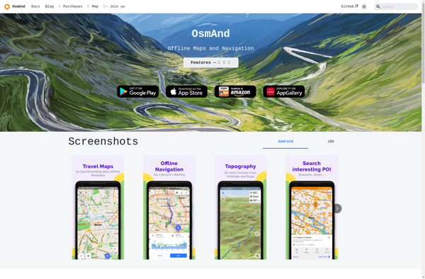
OsmAnd (OpenStreetMap Automated Navigation Directions) is a free and open-source mobile map and navigation application developed for Android and iOS devices. It relies entirely on detailed, community-driven maps from the OpenStreetMap project and allows accessing them offline without an internet connection.Some of the key features and capabilities of OsmAnd...

HERE WeGo

HERE WeGo is a free map and navigation app developed by HERE Technologies for iOS and Android devices. It allows users to navigate by car, public transportation, foot or bike using turn-by-turn voice guided directions. Key features of HERE WeGo include:Offline maps - Download maps to your device so...

Sygic GPS Navigation

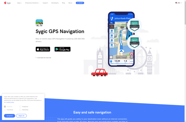
Sygic GPS Navigation is a popular offline navigation application for Android and iOS devices. It allows users to navigate anywhere in the world without needing an internet or data connection. Some key features of Sygic include:Detailed maps of Europe, North America, Australia, Brazil, and other regions that are optimized...

Google Maps Navigation

Google Maps Navigation is a free GPS navigation app developed by Google for Android and iOS devices. It utilizes Google Maps and crowd-sourced traffic data to provide turn-by-turn voice guided navigation and real-time traffic updates.Key features include:Turn-by-turn voice guided navigation with automatic reroutingReal-time traffic updates using crowdsourced dataLane...

Apple Maps

Apple Maps is a web mapping service developed by Apple Inc. It was introduced in 2012 with iOS 6 as a replacement for Google Maps on Apple devices. Apple Maps offers turn-by-turn navigation, interactive panoramic street views, Flyover mode for photorealistic 3D views of certain cities, support for transit routing and real-time...

TransforMap

TransforMap is a free, open-source mind mapping and brainstorming software. It allows users to visually organize ideas, tasks, projects, and other information with the flexibility of a mind map interface.With TransforMap, users can:Create branching mind maps to break down large concepts and projects into an organized structureConnect related...

2GIS

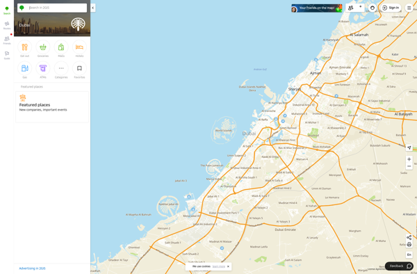
2GIS is a popular free map, local search and business directory mobile app and website operating in over 1800 cities across Russia, CIS, Europe, Asia and other countries. It offers detailed interactive maps, local business listings, navigation, reviews and other local information.Some key features of 2GIS include:Detailed vector maps...

Magic Earth

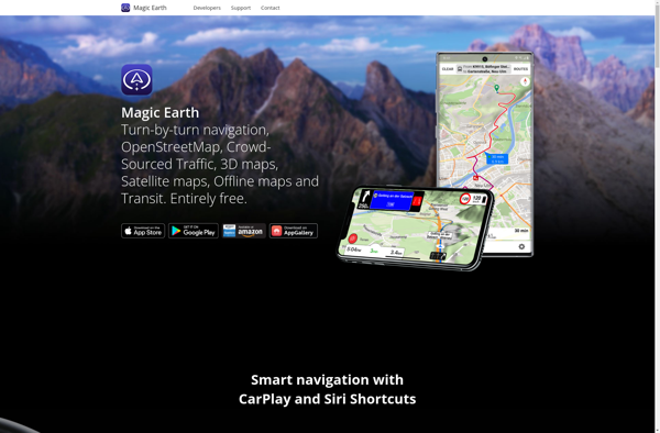
Magic Earth is an open-source, free mobile map application developed for Android and iOS devices. It can be used as a fully-functional GPS navigation software both online and offline. Some of the key features include:Downloads offline vector maps worldwide for using the app without internet connection.Supports turn-by-turn voice...