BlackBerry Maps is a mobile map application developed by BlackBerry Limited for BlackBerry 10 devices. It provides turn-by-turn GPS navigation, traffic information, public transit details, location searches, and more. Its main features include offline maps, voice-guided navigatio
Turn-by-turn GPS navigation, traffic updates, and more on BlackBerry 10 devices
What is BlackBerry Maps?
BlackBerry Maps is a mobile map application developed by BlackBerry Limited specifically for BlackBerry 10 devices. It comes pre-installed on most BlackBerry 10 smartphones and provides a variety of mapping and navigation features.
Some of the key capabilities of BlackBerry Maps include:
Turn-by-turn GPS navigation with voice guidance
Traffic information with automatic rerouting to avoid congestion
Public transit details including schedules, routes and station information
Offline maps that can be downloaded for areas of frequent use
Location search for finding businesses, addresses and points of interest
Integration with BlackBerry services like BBM, Calendar, and Contacts
An advantage of BlackBerry Maps over some other map apps is that it is designed specifically for BlackBerry devices, with optimizations and integrations tailored for BB10's operating system. It provides an efficient native mapping experience without some of the lag and battery drain issues that can occur from running third-party apps.
Overall, BlackBerry Maps aims to provide an optimized navigation and mapping program customized for BlackBerry users' needs. Its offline capabilities and deep device integration make it a convenient default option over alternatives like Google Maps on BlackBerry 10 devices.
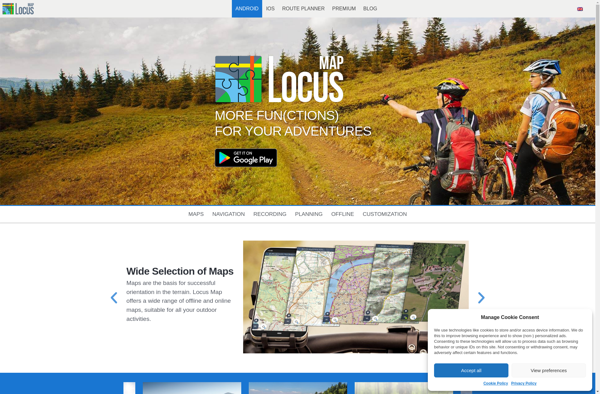
Locus Map is a feature-rich GPS navigation and tracking app designed specifically for outdoor activities like hiking, geocaching, cycling, and more. It works offline for reliability and lets you download detailed topographic and cycling maps to navigate on the go when data connectivity is limited.Key features include:Offline topographic, cycling, and...
Waze is a crowd-sourced GPS navigation and traffic app launched in 2008. It provides turn-by-turn navigation along with real-time traffic updates, road hazard reports, and user-submitted edits of roads and addresses.Key features of Waze include:Real-time traffic updates - Users can report accidents, traffic jams, police traps, etc. to alert other...
What Is MAPS.ME?MAPS.ME is a mobile maps and navigation app that provides detailed offline maps for over 200 countries. Originally open source, it was one of the first apps to make OpenStreetMap data accessible on mobile with a polished interface.Key FeaturesUsers download maps by country or region for fully offline...
OruxMaps is a feature-rich Android app designed specifically for outdoor activities like hiking, mountain biking, road cycling, trail running, geocaching, and more. Some key features include:Offline maps - Download detailed topographic, outdoor, cycling, and hiking maps for offline use.Route planning - Plan routes and courses on the map, including waypoints...
HERE WeGo is a free map and navigation app developed by HERE Technologies for iOS and Android devices. It allows users to navigate by car, public transportation, foot or bike using turn-by-turn voice guided directions. Key features of HERE WeGo include:Offline maps - Download maps to your device so you...
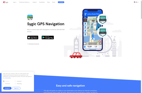
Sygic GPS Navigation is a popular offline navigation application for Android and iOS devices. It allows users to navigate anywhere in the world without needing an internet or data connection. Some key features of Sygic include:Detailed maps of Europe, North America, Australia, Brazil, and other regions that are optimized for...
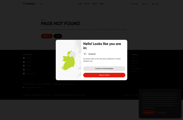
TomTom GO Mobile is a free mobile navigation and mapping app developed by TomTom for iOS and Android smartphones. It allows users to navigate by car or on foot using 3D maps that provide detailed street information, landmarks, traffic data, and turn-by-turn directions.Key features of TomTom GO Mobile include:Turn-by-turn voice...
MapQuest is a free online mapping service launched in 1996 that provides users with driving directions, traffic conditions, route planning, and interactive maps. It was one of the first and most popular online mapping sites before the rise of Google Maps and Bing Maps.Key features of MapQuest include:Driving directions for...
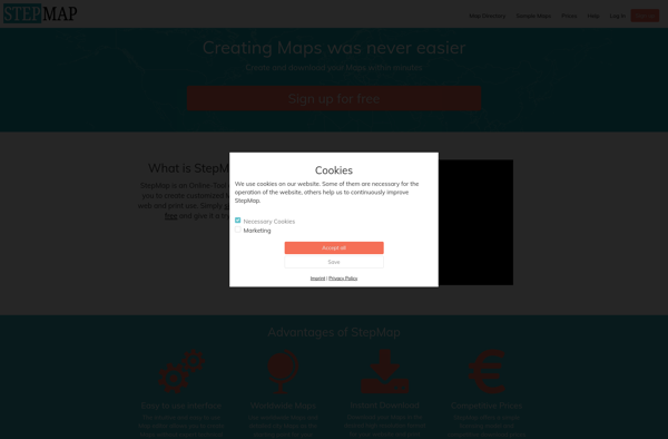
StepMap is a versatile mind mapping and brainstorming software used for organizing ideas visually in an interactive map format. With an intuitive drag-and-drop interface, users can quickly create mind maps that connect topics, tasks, concepts, notes, and more with branches and links to see relationships clearly.Key features of StepMap include:Brainstorm...
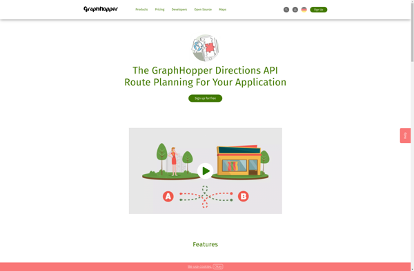
GraphHopper is an open-source Java-based routing engine optimized for speed and memory efficiency. It uses road network data from OpenStreetMap to calculate the best route between locations for various modes of transportation including driving cars, riding bikes, walking, and more.Some key features of GraphHopper include:Fast routing calculations thanks to its...
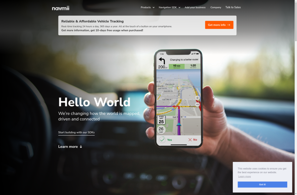
Navmii is a free, open source GPS navigation software for Windows, Linux and Mac operating systems. It provides turn-by-turn voice guided navigation using OpenStreetMaps and allows users to download maps for offline usage.Key features of Navmii include:Voice guided navigation with street names pronunciationCustomizable maps with option to download maps for...
Mapline is an open-source, self-hosted web application that allows users to create custom maps for free. It is an alternative to proprietary services like Google My Maps.Some key features of Mapline include:Ability to add markers, lines, shapes, and text notes to your mapsSupport for multiple layers on a single mapOptions...
Trapster is a free community-based traffic and speed trap reporting app available for iOS and Android devices. It allows drivers to work together to alert each other in real-time to police locations, speed traps, road hazards, and traffic delays.Users can report traffic incidents and view reports from other users along...
Maplorer is a powerful yet easy-to-use web-based mapping and geospatial data visualization platform. It provides a suite of tools for creating insightful map visualizations, performing spatial analysis, managing geographic data sets, and collaborating with team members.With Maplorer, users can quickly create custom web maps by uploading their own geospatial data...