Trapster

Trapster

Trapster is a free app that allows drivers to alert each other in real-time to police locations, speed traps, road hazards and traffic. Users can report incidents while driving with a couple taps, helping build a community of drivers looking out for each other.
Trapster image
driving police speed-traps traffic road-hazards community

Trapster: Free Real-Time Traffic Alerts

Trapster is a free app that allows drivers to alert each other in real-time to police locations, speed traps, road hazards and traffic. Users can report incidents while driving with a couple taps, helping build a community of drivers looking out for each other.

What is Trapster?

Trapster is a free community-based traffic and speed trap reporting app available for iOS and Android devices. It allows drivers to work together to alert each other in real-time to police locations, speed traps, road hazards, and traffic delays.

Users can report traffic incidents and view reports from other users along their drive route or in any location they choose. As you drive, Trapster will issue audio warnings about upcoming alerts submitted by other drivers. These alerts help raise awareness to potential speed traps or hazards ahead.

By tapping a few buttons in the app, users can quickly report and share new police sightings, accidents, traffic jams, or other road issues. These user-generated reports are then immediately relayed as alerts to other nearby Trapster users in real-time. The goal is getting safety alerts out to as many drivers as possible so they can adjust their driving accordingly.

In this way, Trapster helps drivers maintain safer speeds while also identifying alternative routes to avoid traffic congestion. For those focused on avoiding tickets from police monitoring for speed violations, Trapster can pay for itself in avoided speeding tickets. And for those more focused on avoiding traffic, it can reduce commute times.

With millions of active users reporting tens of millions of alerts and sharing photos, videos and comments every month, Trapster has one of the largest driver communities focused on collective road safety. Available for free, drivers using Trapster serve each other, helping identify situations for which increased caution may be warranted.

Trapster Features

Features

  1. Real-time police, speed trap, hazard and traffic reporting
  2. Crowd-sourced incident reports from community of users
  3. Ability to report incidents with a couple taps while driving
  4. Alerts for nearby incidents that may impact your route

Pricing

  • Free

Pros

Free to use

Large user community provides extensive incident data

Easy to report and receive relevant alerts

Can help drivers avoid speeding tickets and traffic delays

Cons

Requires large user base to provide useful alerts

Reliant on users self-reporting incidents accurately

Can be distracting to use while driving

Not available in all geographic areas


The Best Trapster Alternatives

Top Travel & Location and Navigation & Maps and other similar apps like Trapster

Here are some alternatives to Trapster:

Suggest an alternative ❐

Waze icon

Waze

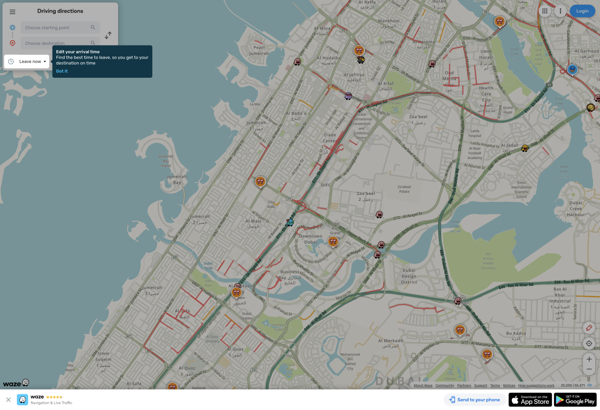
Waze is a crowd-sourced GPS navigation and traffic app launched in 2008. It provides turn-by-turn navigation along with real-time traffic updates, road hazard reports, and user-submitted edits of roads and addresses.Key features of Waze include:Real-time traffic updates - Users can report accidents, traffic jams, police traps, etc. to alert other...
Waze image
OruxMaps icon

OruxMaps

OruxMaps is a feature-rich Android app designed specifically for outdoor activities like hiking, mountain biking, road cycling, trail running, geocaching, and more. Some key features include:Offline maps - Download detailed topographic, outdoor, cycling, and hiking maps for offline use.Route planning - Plan routes and courses on the map, including waypoints...
OruxMaps image
BlackBerry Maps icon

BlackBerry Maps

BlackBerry Maps is a mobile map application developed by BlackBerry Limited specifically for BlackBerry 10 devices. It comes pre-installed on most BlackBerry 10 smartphones and provides a variety of mapping and navigation features.Some of the key capabilities of BlackBerry Maps include:Turn-by-turn GPS navigation with voice guidanceTraffic information with automatic rerouting...
Navmii icon

Navmii

Navmii is a free, open source GPS navigation software for Windows, Linux and Mac operating systems. It provides turn-by-turn voice guided navigation using OpenStreetMaps and allows users to download maps for offline usage.Key features of Navmii include:Voice guided navigation with street names pronunciationCustomizable maps with option to download maps for...
Navmii image
Maplorer icon

Maplorer

Maplorer is a powerful yet easy-to-use web-based mapping and geospatial data visualization platform. It provides a suite of tools for creating insightful map visualizations, performing spatial analysis, managing geographic data sets, and collaborating with team members.With Maplorer, users can quickly create custom web maps by uploading their own geospatial data...
Maplorer image