OruxMaps
OruxMaps is a popular Android app for outdoor activities like hiking, biking, and geocaching. It allows users to view and navigate maps offline, track routes, mark waypoints, and record other data like speed and elevation.

OruxMaps: Offline Navigation for Outdoor Activitiess
OruxMaps is a popular Android app for outdoor activities like hiking, biking, and geocaching. It allows users to view and navigate maps offline, track routes, mark waypoints, and record other data like speed and elevation.
What is OruxMaps?
OruxMaps is a feature-rich Android app designed specifically for outdoor activities like hiking, mountain biking, road cycling, trail running, geocaching, and more. Some key features include:
- Offline maps - Download detailed topographic, outdoor, cycling, and hiking maps for offline use.
- Route planning - Plan routes and courses on the map, including waypoints and POIs.
- Navigation & tracking - Real-time GPS tracking shows your position and path on the map. Navigate using different modes like compass and road directions.
- Waypoints, routes, tracks - Mark waypoints and record tracks/routes with detailed stat data like time, distance, speed, altitude, etc.
- Sharing - Export and share GPX files, offline maps, waypoints, routes, and tracks.
- Personalization - Customize the display with different map themes and overlays for terrain, hill shade, contour lines, etc.
- Device integration - Integrates with sensors like heart rate, cadence, and power meters. Links up with smartwatches for data display.
- Geocaching - Built-in geocaching features like caches database, filtering, navigation, offline details, logging, etc.
OruxMaps Features
Features
- Offline maps
- Route planning
- Waypoint management
- Track recording
- Elevation profiles
- Navigation
- Map sharing
Pricing
- Freemium
- One-time purchase
Pros
Works offline
Highly customizable
Active user community
Regular updates
Affordable pricing
Cons
Steep learning curve
Busy interface
Limited cloud sync features
No iOS version
Official Links
Reviews & Ratings
Login to ReviewThe Best OruxMaps Alternatives
View all OruxMaps alternatives with detailed comparison →
Top Travel & Location and Navigation & Maps and other similar apps like OruxMaps
Here are some alternatives to OruxMaps:
Suggest an alternative ❐Google Maps
Google Maps is a web mapping platform and consumer application offered by Google. It offers satellite imagery, aerial photography, street maps, 360° interactive panoramic views of streets, real-time traffic conditions, and route planning for traveling by foot, car, bicycle and air, or public transportation.Key features of Google Maps include:Interactive street...

MAPS.ME
What Is MAPS.ME?MAPS.ME is a mobile maps and navigation app that provides detailed offline maps for over 200 countries. Originally open source, it was one of the first apps to make OpenStreetMap data accessible on mobile with a polished interface.Key FeaturesUsers download maps by country or region for fully offline...

OsmAnd
OsmAnd (OpenStreetMap Automated Navigation Directions) is a free and open-source mobile map and navigation application developed for Android and iOS devices. It relies entirely on detailed, community-driven maps from the OpenStreetMap project and allows accessing them offline without an internet connection.Some of the key features and capabilities of OsmAnd include:Turn-by-turn...

MotionX GPS
MotionX GPS is a popular GPS and navigation app developed specifically for the iPhone. It provides turn-by-turn voice guided navigation with rich 3D maps. Key features include:Turn-by-turn driving and walking directions with voice guidanceOffline maps for navigation without an internet connectionTraffic information along your route and alternate routes to avoid...

HERE WeGo
HERE WeGo is a free map and navigation app developed by HERE Technologies for iOS and Android devices. It allows users to navigate by car, public transportation, foot or bike using turn-by-turn voice guided directions. Key features of HERE WeGo include:Offline maps - Download maps to your device so you...

ASICS Runkeeper
ASICS Runkeeper is a fitness tracking and training app originally developed by FitnessKeeper Inc. before being acquired by ASICS in 2016. The app allows users to track various workouts including running, walking, cycling, hiking, cardio training and more using GPS and provides detailed statistics and analysis such as duration, distance,...
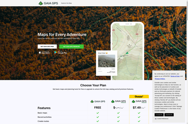
Gaia GPS
Gaia GPS is a popular mobile app designed specifically for backcountry exploration and offline navigation. It provides detailed topographic maps, aerial imagery, navigation tools, and information on public lands across the world to help users plan trips and navigate in remote areas.Key features of Gaia GPS include:Downloadable offline maps -...
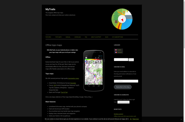
MyTrails
MyTrails is a custom trail mapping application designed for outdoor enthusiasts who want to record details of trails they have hiked, biked, or explored. With MyTrails, users can log vital stats for each trail like length, elevation gain, difficulty rating, etc. as well as document their experience through photos, maps,...
Organic Maps
What Is Organic Maps?Organic Maps is a free, open-source maps and navigation app for Android and iOS. It uses OpenStreetMap data and works entirely offline — no internet connection needed for navigation, search, or route planning.Key FeaturesThe app provides turn-by-turn navigation for driving, cycling, and walking with voice guidance. Maps...

GPSies
GPSies is a free online route planning and GPS track recording tool. It allows users to easily plan routes by entering locations or uploading GPS tracks, view interactive topographic maps and 3D satellite imagery of the route area, analyze elevation profiles of planned routes, measure distances of routes, and share...
Google Maps Navigation
Google Maps Navigation is a free GPS navigation app developed by Google for Android and iOS devices. It utilizes Google Maps and crowd-sourced traffic data to provide turn-by-turn voice guided navigation and real-time traffic updates.Key features include:Turn-by-turn voice guided navigation with automatic reroutingReal-time traffic updates using crowdsourced dataLane guidance and...

Apple Maps
Apple Maps is a web mapping service developed by Apple Inc. It was introduced in 2012 with iOS 6 as a replacement for Google Maps on Apple devices. Apple Maps offers turn-by-turn navigation, interactive panoramic street views, Flyover mode for photorealistic 3D views of certain cities, support for transit routing...

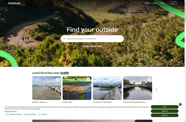
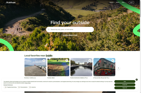
AllTrails
AllTrails is a digital guide to the outdoors, helping people explore and share information on hiking, biking, and trail running routes worldwide. The AllTrails website and mobile apps provide detailed topographic trail maps, directions to trailheads, photos and reviews of tens of thousands of trails across North America, Europe, Australia...
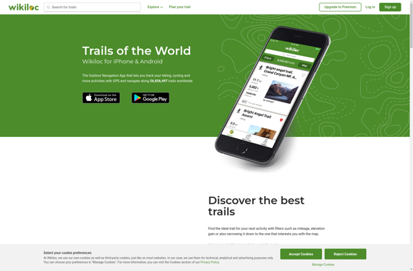
Wikiloc Outdoor Navigation GPS
Wikiloc Outdoor Navigation GPS is a popular mobile app designed specifically for outdoor sports enthusiasts. It allows users to navigate trails and routes using GPS tracking, even when offline or without cell service. The app has a large database of user-created GPS trails that can be downloaded for offline use.Some...
StepMap
StepMap is a versatile mind mapping and brainstorming software used for organizing ideas visually in an interactive map format. With an intuitive drag-and-drop interface, users can quickly create mind maps that connect topics, tasks, concepts, notes, and more with branches and links to see relationships clearly.Key features of StepMap include:Brainstorm...
BlackBerry Maps
BlackBerry Maps is a mobile map application developed by BlackBerry Limited specifically for BlackBerry 10 devices. It comes pre-installed on most BlackBerry 10 smartphones and provides a variety of mapping and navigation features.Some of the key capabilities of BlackBerry Maps include:Turn-by-turn GPS navigation with voice guidanceTraffic information with automatic rerouting...
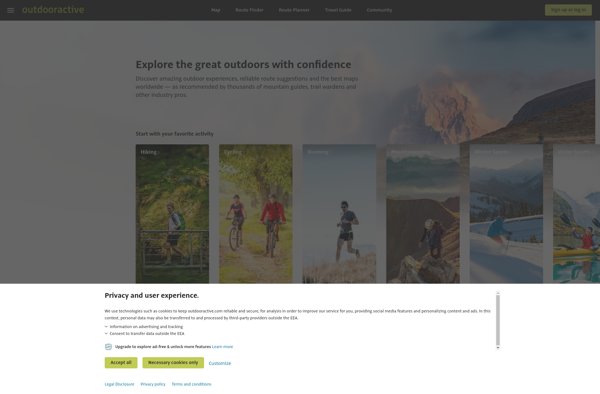
Outdooractive
Outdooractive is an online platform and mobile app designed specifically for outdoor enthusiasts looking to discover and plan hiking, biking, ski touring, trail running, and other outdoor activities.Some key features of Outdooractive include:Detailed topographic maps covering popular outdoor destinations around the world, with trail and route overlaysThousands of expert-created route...
2GIS
2GIS is a popular free map, local search and business directory mobile app and website operating in over 1800 cities across Russia, CIS, Europe, Asia and other countries. It offers detailed interactive maps, local business listings, navigation, reviews and other local information.Some key features of 2GIS include:Detailed vector maps for...

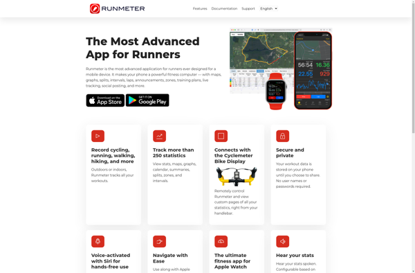
Runmeter
Runmeter is a popular GPS tracking and run logging app developed specifically for iPhone and Apple Watch. It is designed to accurately track a variety of metrics during outdoor fitness activities like running, walking, cycling, hiking, and more.When tracking a workout with Runmeter, it uses iPhone's built-in GPS to map...
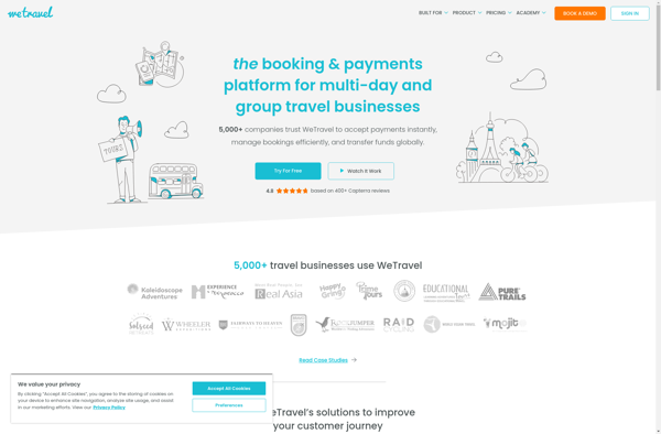
WeTravel
WeTravel is an innovative online travel platform launched in 2015 that is revolutionizing the way people research, plan, and book travel. With its easy-to-use interface and industry-leading search functionalities, WeTravel has become a go-to site for travelers looking to streamline trip planning and booking.At the core of WeTravel's offerings is...
Car Home Ultra
Car Home Ultra is an Android automotive app designed specifically for use while driving. It provides an optimized interface that allows drivers to easily access phone functions and apps without being overly distracted.The app features large, high-contrast buttons and text that are designed to be extremely visible and easy to...

Transportr
Transportr is an open-source public transportation app for Android devices. It is designed to help users search, plan, and navigate public transit systems in cities around the world.Some key features of Transportr include:Intuitive user interface for searching routes, planning trips, and viewing schedules and maps.Support for public transit systems in...

MapDroyd
MapDroyd is a free, open-source map viewing and editing app for Android. It allows users to download map data for offline use and view, create, and edit maps when internet connectivity is limited.Key features of MapDroyd include:Ability to download OpenStreetMap data for offline map viewingSupport for standard mapping features like...
Waypointer
Waypointer is an intuitive trip planning and routing web application. It allows users to easily map out driving or walking routes between multiple destinations, optimize the path order to reduce overall mileage and travel time, and get accurate ETAs based on current traffic conditions.Some key features of Waypointer include:Clean, uncluttered...

Car Dashboard
Car Dashboard is an innovative software solution that essentially turns a computer, laptop, or tablet device into a fully functioning digital dashboard display for your vehicle. It connects to an OBD-II scanner device via Bluetooth or WiFi and then reads and interprets the data codes from your vehicle's computer.Once connected,...
Trapster
Trapster is a free community-based traffic and speed trap reporting app available for iOS and Android devices. It allows drivers to work together to alert each other in real-time to police locations, speed traps, road hazards, and traffic delays.Users can report traffic incidents and view reports from other users along...

Maplorer
Maplorer is a powerful yet easy-to-use web-based mapping and geospatial data visualization platform. It provides a suite of tools for creating insightful map visualizations, performing spatial analysis, managing geographic data sets, and collaborating with team members.With Maplorer, users can quickly create custom web maps by uploading their own geospatial data...
Nav4All
Nav4All is an open-source navigation software application designed specifically to meet the needs of people with disabilities that impact mobility and navigation. It was created by a non-profit organization focused on developing helpful technologies for the disability community.The software provides customizable verbal prompts, sounds, and haptic feedback through connected devices...
Car Dock v2
Car Dock v2 is a mobile application designed specifically for use while driving. It provides an simplified interface to access key functions and minimize distractions.The app allows drivers to easily control music playback, navigate to destinations with GPS, make and receive calls hands-free, and listen to and reply to messages....