MapDroyd

MapDroyd

MapDroyd is an open-source Android app that allows users to view, edit, and create maps offline. It supports standard features like markers, lines, polygons as well as import and export of GPX tracks.
MapDroyd image
offline opensource android maps navigation gpx

MapDroyd: Open-Source Android App for Offline Map Editing

MapDroyd allows users to view, edit, and create maps offline on their Android device, featuring markers, lines, polygons, and GPX track import/export capabilities.

What is MapDroyd?

MapDroyd is a free, open-source map viewing and editing app for Android. It allows users to download map data for offline use and view, create, and edit maps when internet connectivity is limited.

Key features of MapDroyd include:

  • Ability to download OpenStreetMap data for offline map viewing
  • Support for standard mapping features like markers, lines, shapes, and polygons
  • GPX track import and export
  • Basic map editing tools to create and update data in downloaded maps
  • Different map themes and overlays
  • Works completely offline once maps are downloaded

MapDroyd is ideal for activities like hiking, traveling, and field work where internet access is unreliable. By downloading maps ahead of time, users can view and modify maps as needed without connectivity. Advanced features like tracking, mapping, and field data collection are available through plugins.

While the interface is fairly basic, MapDroyd offers powerful offline mapping capabilities compared to other Android apps. With an active development community behind it, the software is continuously being updated and improved as well.

MapDroyd Features

Features

  1. Offline map viewing
  2. Map editing
  3. Creating custom maps
  4. Markers, lines and polygons
  5. GPX import and export

Pricing

  • Open Source

Pros

Free and open source

Works offline

Good for hiking/traveling without data

Customizable and extensible

Cons

Limited features compared to online maps

Manual map downloads required

Steep learning curve

Not beginner friendly


The Best MapDroyd Alternatives

Top Travel & Location and Maps & Navigation and other similar apps like MapDroyd


Google Maps icon

Google Maps

Google Maps is a web mapping platform and consumer application offered by Google. It offers satellite imagery, aerial photography, street maps, 360° interactive panoramic views of streets, real-time traffic conditions, and route planning for traveling by foot, car, bicycle and air, or public transportation.Key features of Google Maps include:Interactive street...
Google Maps image
Waze icon

Waze

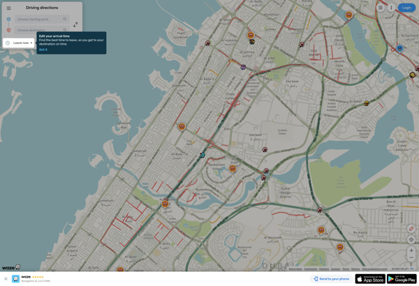
Waze is a crowd-sourced GPS navigation and traffic app launched in 2008. It provides turn-by-turn navigation along with real-time traffic updates, road hazard reports, and user-submitted edits of roads and addresses.Key features of Waze include:Real-time traffic updates - Users can report accidents, traffic jams, police traps, etc. to alert other...
Waze image
MAPS.ME icon

MAPS.ME

MAPS.ME is a popular free mobile app that provides offline maps and turn-by-turn GPS navigation for over 200 countries around the world. It was launched in 2012 by MapsWithMe GmbH and allows users to download highly detailed OpenStreetMap maps to their device for access completely offline.Some key features of MAPS.ME...
MAPS.ME image
OsmAnd icon

OsmAnd

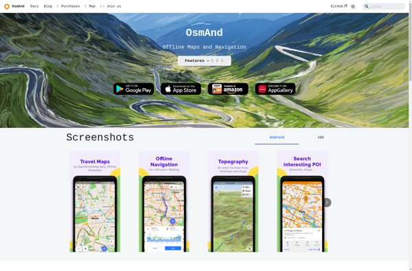
OsmAnd (OpenStreetMap Automated Navigation Directions) is a free and open-source mobile map and navigation application developed for Android and iOS devices. It relies entirely on detailed, community-driven maps from the OpenStreetMap project and allows accessing them offline without an internet connection.Some of the key features and capabilities of OsmAnd include:Turn-by-turn...
OsmAnd image
OruxMaps icon

OruxMaps

OruxMaps is a feature-rich Android app designed specifically for outdoor activities like hiking, mountain biking, road cycling, trail running, geocaching, and more. Some key features include:Offline maps - Download detailed topographic, outdoor, cycling, and hiking maps for offline use.Route planning - Plan routes and courses on the map, including waypoints...
OruxMaps image
Modest Maps icon

Modest Maps

Modest Maps is an open source JavaScript mapping library designed for easily embedding interactive maps into web pages. Some key features of Modest Maps include:Lightweight and customizable - Only about 6KB when minified and gzippedSupports various map tile sources including OpenStreetMap, MapQuest, and CloudMadeProvides API for basic interactions like panning,...
Modest Maps image
Apple Maps icon

Apple Maps

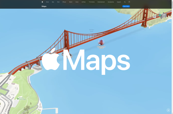
Apple Maps is a web mapping service developed by Apple Inc. It was introduced in 2012 with iOS 6 as a replacement for Google Maps on Apple devices. Apple Maps offers turn-by-turn navigation, interactive panoramic street views, Flyover mode for photorealistic 3D views of certain cities, support for transit routing...
Apple Maps image
TransforMap icon

TransforMap

TransforMap is a free, open-source mind mapping and brainstorming software. It allows users to visually organize ideas, tasks, projects, and other information with the flexibility of a mind map interface.With TransforMap, users can:Create branching mind maps to break down large concepts and projects into an organized structureConnect related topics, ideas,...
TransforMap image
Mapline icon

Mapline

Mapline is an open-source, self-hosted web application that allows users to create custom maps for free. It is an alternative to proprietary services like Google My Maps.Some key features of Mapline include:Ability to add markers, lines, shapes, and text notes to your mapsSupport for multiple layers on a single mapOptions...
Mapline image