Waypointer is a user-friendly alternative to Google Maps for planning trips and generating driving directions. It provides route optimization, estimated travel times, and the ability to save locations.
Waypointer: Plan Trips with Alternative Navigation
Plan your trip with a user-friendly navigation tool, optimized routes, estimated travel times, and location saving features - an alternative to Google Maps.
What is Waypointer?
Waypointer is an intuitive trip planning and routing web application. It allows users to easily map out driving or walking routes between multiple destinations, optimize the path order to reduce overall mileage and travel time, and get accurate ETAs based on current traffic conditions.
Some key features of Waypointer include:
Clean, uncluttered map interface to clearly view planned routes
Ability to add multiple stops along a trip route
Options to reorder destinations for shortest overall distance
Traffic-based travel time estimates for driving routes
Step-by-step text directions describing each leg of a planned route
Route overview panel summarizing total distance, time, and directions
User account option to save locations and routes for future access
Support for planning routes in the U.S., Canada, U.K., Europe and Australia
Mobile-friendly responsive design
Intuitive controls and trip planning workflow
With its focus on fast, frustration-free route planning abilities, Waypointer provides a great alternative to Google Maps for people wanting a streamlined way to map vacations, road trips, deliveries and more.
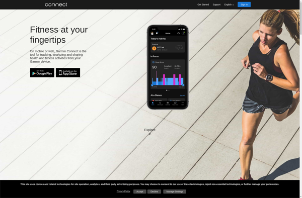
Garmin Connect is a free online fitness tracking and social platform developed by Garmin that syncs with Garmin wearable devices like smartwatches and fitness trackers. It provides users with detailed data and analytics on their health, fitness activities, sleep patterns and more to help them meet their health and fitness...
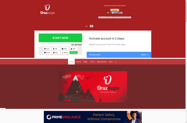
OruxMaps is a feature-rich Android app designed specifically for outdoor activities like hiking, mountain biking, road cycling, trail running, geocaching, and more. Some key features include:Offline maps - Download detailed topographic, outdoor, cycling, and hiking maps for offline use.Route planning - Plan routes and courses on the map, including waypoints...
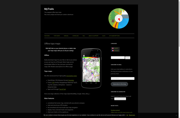
MyTrails is a custom trail mapping application designed for outdoor enthusiasts who want to record details of trails they have hiked, biked, or explored. With MyTrails, users can log vital stats for each trail like length, elevation gain, difficulty rating, etc. as well as document their experience through photos, maps,...
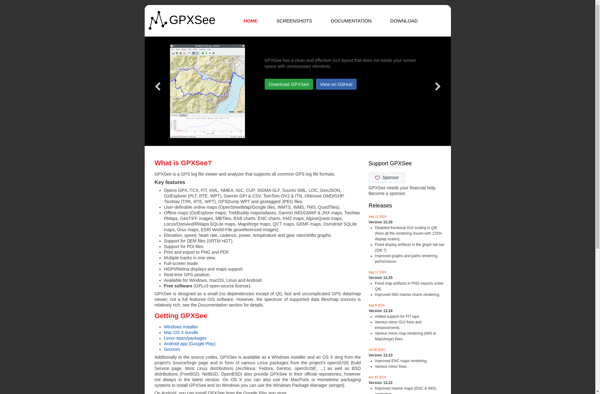
GPXSee is a versatile GPS log file viewer program for Windows, Linux and Mac operating systems. It is designed specifically for working with GPX (GPS Exchange Format) files recorded by GPS logging devices such as sports watches or dedicated data loggers.With GPXSee, you can easily view GPX tracks overlaid on...
Geo Tracker is a robust GPS tracking and fleet management software solution designed to help businesses and individuals keep track of vehicles, equipment, and personnel locations. It utilizes GPS satellite technology along with Cellular and RF networks to deliver real-time visibility over all mobile assets.Key features of Geo Tracker include:Accurate...
BikeRouteToaster is a free online route planning and mapping tool designed specifically for cyclists. It allows users to easily map out safe and scenic bike routes for recreational rides or bicycle commuting.To use BikeRouteToaster, simply enter a starting point and destination - either by address or by dropping pins on...
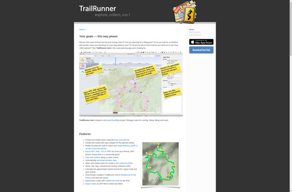
TrailRunner is an open source, cross-platform application designed for planning and logging outdoor activities such as hiking, trail running, and mountain biking. With TrailRunner, users can easily discover new trails in their area, view detailed topographic maps, create and export GPX tracks, record activity statistics like distance, elevation gain, and...
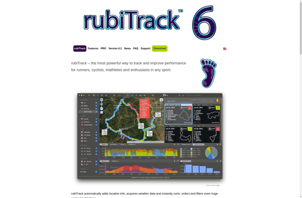
rubiTrack is an open-source time tracking and project management application designed for agencies, consultants, freelancers and organizations who need to track time and projects. It is a good alternative to solutions like Harvest, Toggl or Paymo.rubiTrack allows users to track time spent on projects and tasks either manually or using...
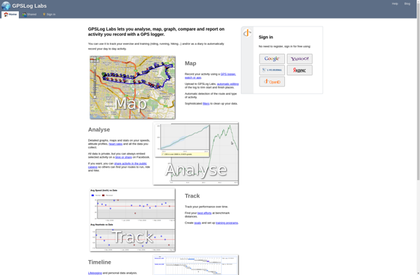
GPSLogLabs is a feature-rich Windows software for GPS tracking and analysis. It enables users to connect to GPS devices like Garmin or smartphones to record GPS tracks, view trips on interactive maps with satellite/terrain overlays, and analyze details through dashboard reports.Key capabilities and benefits include:Works with most consumer GPS devices...
EveryTrail is a popular GPS-based hiking, biking, and trail app that helps outdoor enthusiasts discover, record, and share their adventures on trails worldwide. With a database of over 300,000 mapped trails, EveryTrail allows users to find trails based on location, difficulty, length, scenery and more.Some key features of EveryTrail include:Comprehensive...
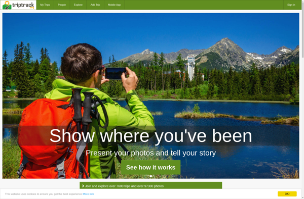
TripTrack is an end-to-end travel and expense management solution designed specifically for mid-market businesses. It provides powerful yet easy-to-use capabilities to manage the entire lifecycle of business travel, from planning and booking to reimbursement.Key features of TripTrack include:Automated expense reports - Employees can easily capture expenses on the go via...