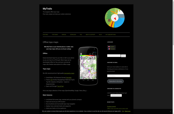
MyTrails is a custom trail mapping tool that allows users to record and preserve details of hiking, biking, and other outdoor trails. It includes features to log trail stats, add photos, maps and descriptions to personalize trails.
MyTrails is a custom trail mapping tool that allows users to record and preserve details of hiking, biking, and other outdoor trails. It includes features to log trail stats, add photos, maps and descriptions to personalize trails.
What is MyTrails?
MyTrails is a custom trail mapping application designed for outdoor enthusiasts who want to record details of trails they have hiked, biked, or explored. With MyTrails, users can log vital stats for each trail like length, elevation gain, difficulty rating, etc. as well as document their experience through photos, maps, and written descriptions.
Some key features of MyTrails include:
Interactive mapping to outline trail routes
Photo upload capabilities to document sights along the trail
Trail details logging like length, time, elevation gain/loss, difficulty, etc.
Journaling section to write descriptions and memories from the trail
Trail rating system to compare stats between different hikes
Tagging to organize trails by location, activity type, features, etc.
Social sharing integration to publish favorite trails with others
Searchable database to discover new trails added by the MyTrails community
Customizable profiles to show off your hiking accomplishments
With its flexible trail mapping and logging, MyTrails is ideal for hikers, backpackers, trail runners, mountain bikers, cross-country skiers and anyone who wants to record details of their outdoor adventures. The app allows complete customization so users can note whatever stats or memories they find meaningful for each trail experience.
MyTrails Features
Features
Record and track hiking, biking, and other outdoor trails
Log trail stats like distance, elevation gain, duration
Add photos, maps, descriptions to trails
Create custom trail maps
Preserve trail details and memories
Pricing
Free
Pros
Good for logging and tracking outdoor activities
Lets you personalize trails with photos, maps, etc.
Google Maps is a web mapping platform and consumer application offered by Google. It offers satellite imagery, aerial photography, street maps, 360° interactive panoramic views of streets, real-time traffic conditions, and route planning for traveling by foot, car, bicycle and air, or public transportation.Key features of Google Maps include:Interactive street...
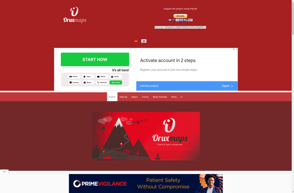
OruxMaps is a feature-rich Android app designed specifically for outdoor activities like hiking, mountain biking, road cycling, trail running, geocaching, and more. Some key features include:Offline maps - Download detailed topographic, outdoor, cycling, and hiking maps for offline use.Route planning - Plan routes and courses on the map, including waypoints...
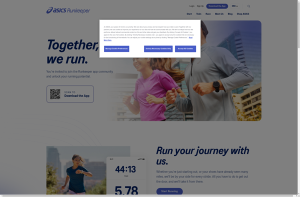
ASICS Runkeeper is a fitness tracking and training app originally developed by FitnessKeeper Inc. before being acquired by ASICS in 2016. The app allows users to track various workouts including running, walking, cycling, hiking, cardio training and more using GPS and provides detailed statistics and analysis such as duration, distance,...
Modest Maps is an open source JavaScript mapping library designed for easily embedding interactive maps into web pages. Some key features of Modest Maps include:Lightweight and customizable - Only about 6KB when minified and gzippedSupports various map tile sources including OpenStreetMap, MapQuest, and CloudMadeProvides API for basic interactions like panning,...
Apple Maps is a web mapping service developed by Apple Inc. It was introduced in 2012 with iOS 6 as a replacement for Google Maps on Apple devices. Apple Maps offers turn-by-turn navigation, interactive panoramic street views, Flyover mode for photorealistic 3D views of certain cities, support for transit routing...
TransforMap is a free, open-source mind mapping and brainstorming software. It allows users to visually organize ideas, tasks, projects, and other information with the flexibility of a mind map interface.With TransforMap, users can:Create branching mind maps to break down large concepts and projects into an organized structureConnect related topics, ideas,...
Leaflet is an open-source JavaScript library for building web mapping applications. Here is a more detailed overview:- Leaflet is designed with simplicity, performance and usability in mind. It offers easy integration with other mapping libraries and APIs.- The library is extremely lightweight at only about 38 KB, which allows for...
Geo Tracker is a robust GPS tracking and fleet management software solution designed to help businesses and individuals keep track of vehicles, equipment, and personnel locations. It utilizes GPS satellite technology along with Cellular and RF networks to deliver real-time visibility over all mobile assets.Key features of Geo Tracker include:Accurate...
Esplorio is a powerful, easy-to-use data exploration and visualization software. It enables anyone, regardless of technical skill level, to quickly gain valuable insights from their data.With an intuitive drag-and-drop interface, Esplorio makes it simple to upload your own datasets and in just a few clicks create a wide range of...
Zombies, Run! is an immersive running app that turns your outdoor workouts into an interactive adventure. The app works by playing audio stories that adapt to changes in your running pace - making you feel like you're running away from zombies chasing you.In the game's plot, you are a runner...
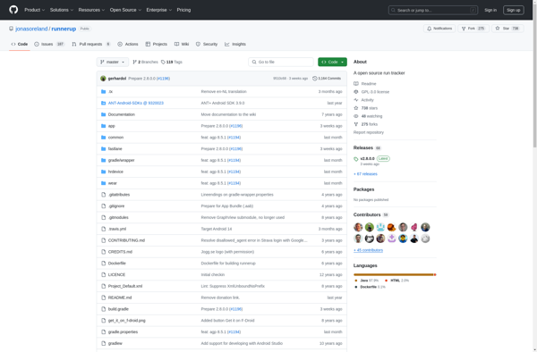
RunnerUp is an open source fitness tracking and training application for Android. It allows users to track various sports activities like running, cycling, walking, and hiking using GPS and view statistics for each session.Some key features of RunnerUp include:GPS tracking of activities like running, cycling etc. It shows you metrics...
Visits Journal is a cloud-based application designed to help professionals track and manage client visits and appointments. With its simple and intuitive interface, Visits Journal makes it easy to log and organize key details related to in-person meetings.Key features of Visits Journal include:Ability to log visit date, start/end times, location,...
Mobile GMaps is a mobile app developed by Google that brings the capabilities of Google Maps to your smartphone or tablet. It allows you to access many of the popular features of Google Maps on the go.Some of the key things you can do with Mobile GMaps include:View interactive maps...
EveryTrail is a popular GPS-based hiking, biking, and trail app that helps outdoor enthusiasts discover, record, and share their adventures on trails worldwide. With a database of over 300,000 mapped trails, EveryTrail allows users to find trails based on location, difficulty, length, scenery and more.Some key features of EveryTrail include:Comprehensive...
Waypointer is an intuitive trip planning and routing web application. It allows users to easily map out driving or walking routes between multiple destinations, optimize the path order to reduce overall mileage and travel time, and get accurate ETAs based on current traffic conditions.Some key features of Waypointer include:Clean, uncluttered...
bbTracker is an open-source issue/bug/feature tracking and project management tool. It is designed to be lightweight, easy to use, and provide more features than a simple todo list for small development teams.With bbTracker, you can:Track issues, bugs, features, tasks, stories, etc. for your software projectsAssign issues to team members with...
TripTrack is an end-to-end travel and expense management solution designed specifically for mid-market businesses. It provides powerful yet easy-to-use capabilities to manage the entire lifecycle of business travel, from planning and booking to reimbursement.Key features of TripTrack include:Automated expense reports - Employees can easily capture expenses on the go via...
Journyal is a free, open-source journaling application available for Windows, Mac and Linux operating systems. It provides users with a simple yet feature-rich interface to maintain a personal, private and encrypted diary.Some of the key features of Journyal include:Intuitive and minimalist interface for quickly capturing thoughts, memories and life eventsSupports...