Outdooractive

Outdooractive

Outdooractive is an online platform for discovering and planning outdoor activities like hiking, biking, ski touring, and more. It provides detailed topographic maps, route descriptions, photos, and user reviews to help people explore the outdoors.
Outdooractive image
hiking biking skiing maps navigation outdoors

Outdooractive: Plan & Explore Outdoor Activities

Discover outdoor activities like hiking, biking, ski touring, and more with detailed maps, route descriptions, photos, and user reviews on Outdooractive.

What is Outdooractive?

Outdooractive is an online platform and mobile app designed specifically for outdoor enthusiasts looking to discover and plan hiking, biking, ski touring, trail running, and other outdoor activities.

Some key features of Outdooractive include:

  • Detailed topographic maps covering popular outdoor destinations around the world, with trail and route overlays
  • Thousands of expert-created route descriptions and GPX tracks for download
  • Millions of user-generated photos and reviews of routes, trails, and locations
  • Advanced route planning and recording features for logging details like distance, elevation gain, etc.
  • Community features for connecting with other users & guides
  • Available on web, iOS, and Android so you can access content on the go

Outdooractive aims to help people explore more of the outdoors by providing all the maps, route details, user experiences about an area in one searchable platform. Whether planning a specific route or just looking for ideas and inspiration, Outdooractive is designed to enable users to easily discover outdoor activities and make the most of their adventures.

Outdooractive Features

Features

  1. Detailed topographic maps
  2. Route descriptions and GPX downloads
  3. Photos and reviews of routes
  4. Activity logging and statistics
  5. Route planning tools
  6. Offline maps
  7. Social features to connect with other users

Pricing

  • Freemium
  • Subscription-Based

Pros

Great selection of hiking, biking, and ski touring routes

Helpful reviews and photos from other users

Ability to download routes for offline use

Route planning and recording tools

Syncs with fitness trackers and apps

Affordable subscription pricing

Cons

Limited free version

Mainly focused on Europe

No printed maps or guidebooks

Less content than some competitor sites

Mobile app could be improved


The Best Outdooractive Alternatives

Top Sport & Health and Outdoor Activities and other similar apps like Outdooractive


MotionX GPS icon

MotionX GPS

MotionX GPS is a popular GPS and navigation app developed specifically for the iPhone. It provides turn-by-turn voice guided navigation with rich 3D maps. Key features include:Turn-by-turn driving and walking directions with voice guidanceOffline maps for navigation without an internet connectionTraffic information along your route and alternate routes to avoid...
MotionX GPS image
OruxMaps icon

OruxMaps

OruxMaps is a feature-rich Android app designed specifically for outdoor activities like hiking, mountain biking, road cycling, trail running, geocaching, and more. Some key features include:Offline maps - Download detailed topographic, outdoor, cycling, and hiking maps for offline use.Route planning - Plan routes and courses on the map, including waypoints...
OruxMaps image
Komoot icon

Komoot

Komoot is a popular route planning and navigation app designed specifically for outdoor activities like cycling, hiking, and mountain biking. Its key features include:Detailed topographic maps with terrain info, trail conditions, and points of interestTurn-by-turn voice navigation that works offlinePlanning routes by choosing destinations or dragging routesElevation profiles and gradients...
Komoot image
Air Maze icon

Air Maze

Air Maze is an open source, multiplayer first person shooter game focused on mazes and movement. Originally released in 2014, Air Maze allows players to battle each other or bots in intricate maze maps with portals, jump pads, speed boosts, invisibility power-ups, and more.One of the standout features of Air...
Air Maze image
Mountain Planet icon

Mountain Planet

Mountain Planet is a robust mountain planning and tracking software designed specifically for climbers and mountaineers. It provides detailed topographic maps, 3D models, and route information for mountain ranges across the globe.Key features of Mountain Planet include:Searchable databases of mountains, routes, summit logs, and trip reports submitted by the climbing...
Mountain Planet image
Relief Maps icon

Relief Maps

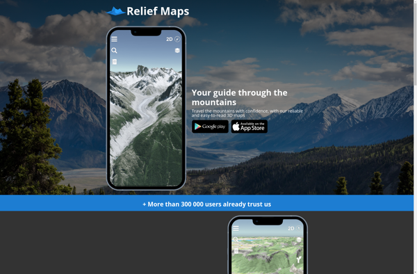
Relief Maps is a desktop software application designed specifically for visualizing and working with digital elevation models (DEMs). It enables users to import raw elevation datasets such as Lidar scans or SRTM data and transform them into interactive 3D maps and terrain models.Key features of Relief Maps include:Support for all...
Relief Maps image
LetsGoPlayOutside.com icon

LetsGoPlayOutside.com

LetsGoPlayOutside.com is a comprehensive website dedicated to helping children, families, educators, and communities get outside more often to play and learn. The site provides a wealth of resources, ideas, and inspiration to make outdoor play an easy, fun, and rewarding part of everyday life.At the heart of LetsGoPlayOutside.com is a...
LetsGoPlayOutside.com image
Yonder icon

Yonder

Yonder is a news and article reader application designed to provide a customizable, uncluttered reading experience. It utilizes artificial intelligence algorithms to learn a user's interests over time and recommend relevant articles and topics to follow.Rather than showing all the articles from various news and information sources, Yonder allows users...
Yonder image
TopHiking icon

TopHiking

TopHiking is a leading online platform for hikers and outdoor enthusiasts looking to find new trails and plan their next adventure. With an extensive database of over 100,000 hiking trails across the United States, TopHiking provides detailed information, interactive maps, reviews, photos, and more to help users research and select...