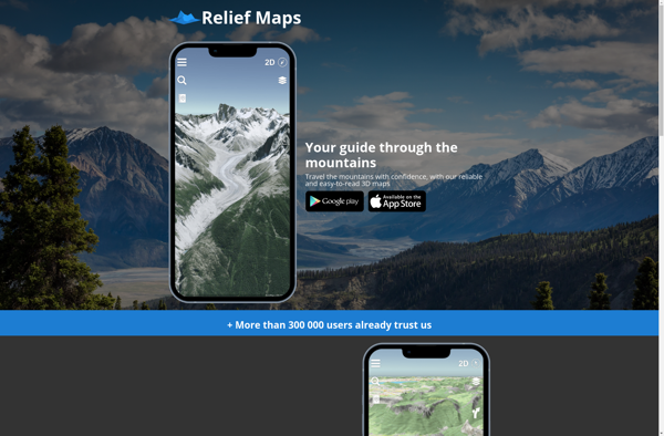
Relief Maps is a desktop software for creating 3D terrain maps and models from elevation data. It allows importing datasets and has tools to edit and visualize terrain, drape aerial images or maps over it, and export the maps to various 3D file formats.
Relief Maps: Desktop Software for Creating 3D Terrain Maps
Relief Maps is a desktop software for creating 3D terrain maps and models from elevation data. It allows importing datasets and has tools to edit and visualize terrain, drape aerial images or maps over it, and export the maps to various 3D file formats.
What is Relief Maps?
Relief Maps is a desktop software application designed specifically for visualizing and working with digital elevation models (DEMs). It enables users to import raw elevation datasets such as Lidar scans or SRTM data and transform them into interactive 3D maps and terrain models.
Key features of Relief Maps include:
Support for all common raster and vector GIS data formats
Advanced terrain editing tools for smoothing, filtering, contouring etc.
Ability to drape aerial or satellite imagery over terrain
Interactive 3D view with configurable lights and vertical exaggeration
Export terrain models to common 3D formats like OBJ, FBX, COLLADA etc.
Generate shadow and ambient occlusion maps from terrain
Overlay vector layers like roads, building footprints etc.
Measure distances, areas and volumes on terrain surface
Create animated fly-throughs and fullscreen presentations
Relief Maps helps professionals like civil engineers, architects, geologists, game developers and even hobbyists build highly accurate and realistic 3D maps for visualization, planning and analysis purposes. Its intuitive tools provide fine control over the terrain while keeping the learning curve flat.
Google Earth is a geobrowser that accesses satellite and aerial imagery, ocean bathymetry, and other geographic data over the internet to represent the Earth as a three-dimensional globe. It was originally developed by Keyhole, Inc., a company acquired by Google in 2004.Google Earth allows users to search for addresses and...
OsmAnd (OpenStreetMap Automated Navigation Directions) is a free and open-source mobile map and navigation application developed for Android and iOS devices. It relies entirely on detailed, community-driven maps from the OpenStreetMap project and allows accessing them offline without an internet connection.Some of the key features and capabilities of OsmAnd include:Turn-by-turn...
OpenStreetMap (OSM) is a collaborative project to create a free and editable map of the world. Unlike proprietary map data from companies like Google or Apple, OSM map data is open and licensed under the Open Database License (ODbL), which allows anyone to use, modify, and distribute the data freely.The...
What Is Organic Maps?Organic Maps is a free, open-source maps and navigation app for Android and iOS. It uses OpenStreetMap data and works entirely offline — no internet connection needed for navigation, search, or route planning.Key FeaturesThe app provides turn-by-turn navigation for driving, cycling, and walking with voice guidance. Maps...
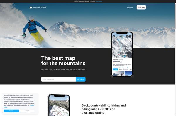
FATMAP is an outdoor navigation app and website designed specifically for adventure sports enthusiasts like hikers, trail runners, mountain bikers, and backcountry skiers. It provides interactive 3D mapping with detailed topographic data to help users safely plan and navigate routes in mountainous and backcountry areas.Key features of FATMAP include:Accurate, hike-specific...
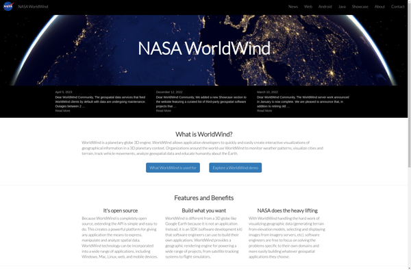
NASA World Wind is an open source, cross-platform virtual globe software that allows users to visualize the Earth and its terrain in 3D. Developed by NASA, it provides a detailed and interactive view of the planet using NASA satellite imagery and aerial photography.Key features of NASA World Wind include:Interactive 3D...
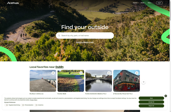
AllTrails is a digital guide to the outdoors, helping people explore and share information on hiking, biking, and trail running routes worldwide. The AllTrails website and mobile apps provide detailed topographic trail maps, directions to trailheads, photos and reviews of tens of thousands of trails across North America, Europe, Australia...
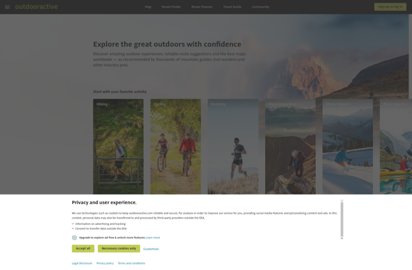
Outdooractive is an online platform and mobile app designed specifically for outdoor enthusiasts looking to discover and plan hiking, biking, ski touring, trail running, and other outdoor activities.Some key features of Outdooractive include:Detailed topographic maps covering popular outdoor destinations around the world, with trail and route overlaysThousands of expert-created route...
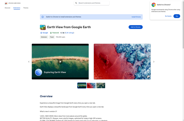
Earth View from Google Earth is a free browser extension available for Chrome, Firefox, and Edge that changes your new tab page to showcase gorgeous satellite photos of places around the world sourced from Google Earth. When you open a new tab, you'll be greeted with a breathtaking high resolution...