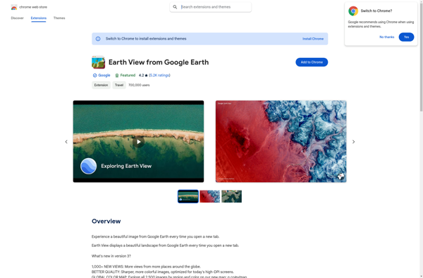
Earth View from Google Earth is a browser extension that sets your new tab page background to beautiful satellite images of Earth from Google Earth. It offers stunning, high-definition views of landscapes, cities, and landmarks from around the world.
Earth View from Google Earth: Stunning Satellite Images
A browser extension that sets your new tab page background to beautiful satellite images of Earth from Google Earth, offering stunning high-definition views of landscapes and landmarks.
What is Earth View from Google Earth?
Earth View from Google Earth is a free browser extension available for Chrome, Firefox, and Edge that changes your new tab page to showcase gorgeous satellite photos of places around the world sourced from Google Earth. When you open a new tab, you'll be greeted with a breathtaking high resolution landscape, cityscape, or other location as your new background image.
The extension pulls from a curated collection of images captured by the Google Earth View team, who scour Google's satellite imagery for visually striking views of natural wonders, stunning vistas, interesting man-made landmarks, and more. Each time you open a new tab you'll see a beautiful new location from somewhere on planet Earth.
Features of the extension include the ability to flip through the image collection manually rather than having it change automatically each time. You can also read details on where each image was captured. It's an uplifting break from blank new tab pages and makes for a more inspiring browsing experience as you go about your day.
As the Earth View team continues adding radiant new locations over time it stays fresh. For anyone that loves visually exploring the planet, it's a simple yet fascinating browser add-on. The vivid images provide a window into places you might never have a chance to visit in person.
Earth View from Google Earth Features
Features
Shows beautiful satellite images of Earth as new tab page background
High definition views of global landscapes, cities and landmarks
Easy to install as a browser extension
Images change regularly to showcase different locations
Pricing
Free
Pros
Lets you explore Earth through gorgeous images
Simple way to make new tabs more visually appealing
Interesting way to discover new places on Earth
Completely free with no ads or clutter
Cons
Limited customization options
No ability to manually choose locations
Requires constant internet connection to load images
Can slow down browser if computer resources are limited
Google Earth is a geobrowser that accesses satellite and aerial imagery, ocean bathymetry, and other geographic data over the internet to represent the Earth as a three-dimensional globe. It was originally developed by Keyhole, Inc., a company acquired by Google in 2004.Google Earth allows users to search for addresses and...
OpenStreetMap (OSM) is a collaborative project to create a free and editable map of the world. Unlike proprietary map data from companies like Google or Apple, OSM map data is open and licensed under the Open Database License (ODbL), which allows anyone to use, modify, and distribute the data freely.The...
HERE WeGo is a free map and navigation app developed by HERE Technologies for iOS and Android devices. It allows users to navigate by car, public transportation, foot or bike using turn-by-turn voice guided directions. Key features of HERE WeGo include:Offline maps - Download maps to your device so you...
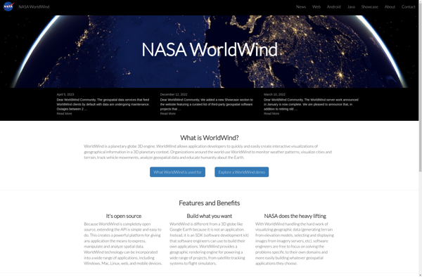
NASA World Wind is an open source, cross-platform virtual globe software that allows users to visualize the Earth and its terrain in 3D. Developed by NASA, it provides a detailed and interactive view of the planet using NASA satellite imagery and aerial photography.Key features of NASA World Wind include:Interactive 3D...
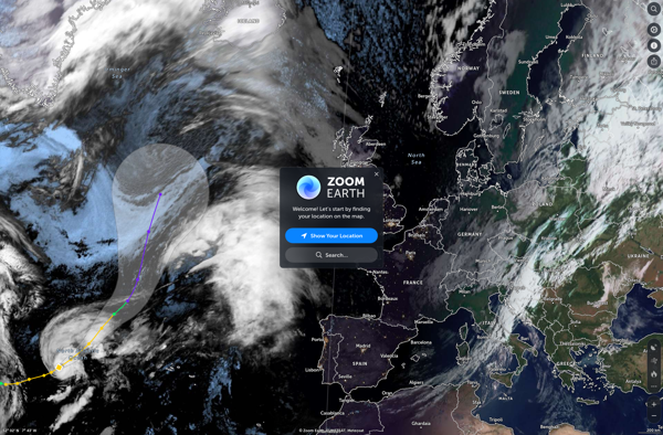
Zoom Earth is an interactive, real-time map of the planet that uses high-resolution satellite imagery and other geographical data to create a detailed and customizable view of locations around the world. Users can zoom in from space all the way to street level, tracking everything from weather systems to city...
TerraExplorer is a powerful 3D GIS software solution developed by Skyline Software Systems. It enables users to import, analyze, and visualize complex 3D geospatial data from a variety of sources including GIS, CAD, BIM, and point clouds.With TerraExplorer, users can create highly accurate and realistic 3D environments by overlaying terrain...
MapQuest is a free online mapping service launched in 1996 that provides users with driving directions, traffic conditions, route planning, and interactive maps. It was one of the first and most popular online mapping sites before the rise of Google Maps and Bing Maps.Key features of MapQuest include:Driving directions for...
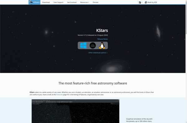
KStars is a powerful open source desktop planetarium software for Linux and other UNIX-like systems. It provides an accurate graphical simulation of the night sky, from any location on Earth, at any date and time. KStars enables users to visualize the positions of stars, planets, comets, supernova remnants and more,...
Earth Browser is an interactive 3D globe software program that provides a highly detailed visualization of planet Earth by integrating a wide range of geographic datasets. It enables users to explore the Earth's surface, oceans, atmosphere, and outer space in an immersive and customizable 3D environment.Key features of Earth Browser...
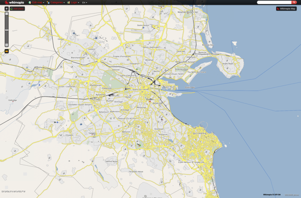
Wikimapia is a free, online map and satellite imaging resource that combines the functionality of Google Maps with a wiki component that allows users to add information, edits, and notes to any location in the world.Launched in 2006, Wikimapia aims to create a highly detailed, user-generated world map. The goal...
Marble is a free and open source note taking application designed specifically for Linux desktop environments like KDE Plasma and GNOME. It provides a simple yet effective way to create rich text notes, tackle checklists, set reminders, and organize your notes into notebooks.Some of the key features of Marble include:Rich...
Yandex Maps is a free online map service developed by Yandex, a Russian multinational technology company specializing in Internet-related services and products. Yandex Maps offers highly detailed and searchable maps, turn-by-turn navigation, public transit information, traffic data, and 360-degree panoramic street view images for over 220 countries around the world.The...
2GIS is a popular free map, local search and business directory mobile app and website operating in over 1800 cities across Russia, CIS, Europe, Asia and other countries. It offers detailed interactive maps, local business listings, navigation, reviews and other local information.Some key features of 2GIS include:Detailed vector maps for...
pTolemy3D is a free, open-source 3D modeling and animation suite. It provides a complete set of tools for creating 3D content, including modeling, texturing, animation, rendering, and more.Some key features of pTolemy3D include:Intuitive user interface and workflow designed specifically for 3D content creationExtensive modeling tools for creating detailed 3D models...
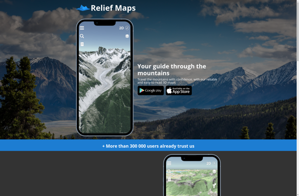
Relief Maps is a desktop software application designed specifically for visualizing and working with digital elevation models (DEMs). It enables users to import raw elevation datasets such as Lidar scans or SRTM data and transform them into interactive 3D maps and terrain models.Key features of Relief Maps include:Support for all...
eyeMaps is a feature-rich mind mapping and brainstorming software used by individuals and teams to visually organize ideas and concepts. It provides an intuitive drag-and-drop interface that allows users to easily create mind maps that include topics, subtopics, notes, attachments, task lists and more.With eyeMaps, users can brainstorm ideas, plan...
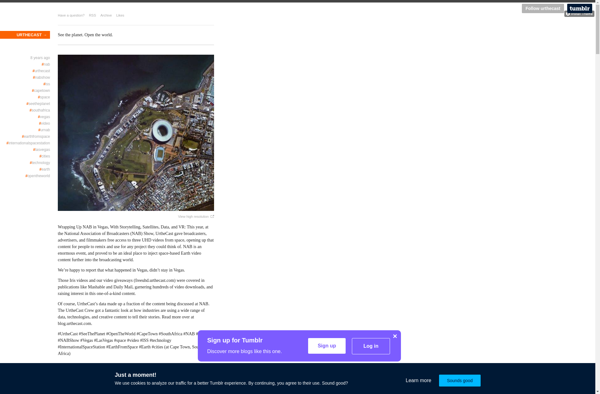
Urthecast is a Vancouver-based technology company that specializes in geospatial data and services by leveraging its network of Earth Observation (EO) sensors in space. The company provides imagery and data for a wide range of industries through its UrtheDaily, streaming video, and API services.Urthecast operates the world's first commercially-available, full-color...