Yandex Maps

Yandex Maps: Free Online Map Service
Yandex Maps is a free online map service developed by Yandex for web and mobile devices. It offers searchable maps, turn-by-turn navigation, public transit info, and street view images across Russia and other countries.
What is Yandex Maps?
Yandex Maps is a free online map service developed by Yandex, a Russian multinational technology company specializing in Internet-related services and products. Yandex Maps offers highly detailed and searchable maps, turn-by-turn navigation, public transit information, traffic data, and 360-degree panoramic street view images for over 220 countries around the world.
The service was launched in 2011 as a competitor to Google Maps and is especially detailed and comprehensive for mapping areas within Russia. In addition to traditional road maps, Yandex Maps provides terrain and satellite imagery, indoor maps for malls and airports, maps tailored for traveling by car, public transit, biking, or walking, and more. It also allows users to search for and navigate to specific businesses or locations.
Some key features of Yandex Maps include:
- Searchable maps of Russia, CIS countries, Turkey, Israel and Europe
- Turn-by-turn voice guided navigation for car, public transit, walking and biking
- Traffic conditions shown on map
- Public transit schedules, routes and station maps
- Restaurant listings, reviews and reservations
- Street view panoramic photos for 1,000+ Russian cities
- Route planning for traveling by car, foot, bike or public transit
- Estimates for drive times and distances
The Yandex Maps apps have been installed over 50 million times on Android and iOS devices combined as of 2022. The service is offered free of charge and supports Russian, English and other language interfaces.
Yandex Maps Features
Features
- Interactive maps
- Navigation and route planning
- Public transit information
- Street view
- Geocoding and reverse geocoding
- Traffic data
- Map editor
- Customizable maps
Pricing
- Freemium
- Subscription-Based
Pros
Cons
Official Links
Reviews & Ratings
Login to ReviewThe Best Yandex Maps Alternatives
View all Yandex Maps alternatives with detailed comparison →
Top Travel & Location and Maps & Navigation and other similar apps like Yandex Maps
Here are some alternatives to Yandex Maps:
Suggest an alternative ❐Google Street View

Google Maps

Google Earth

Waze

MAPS.ME

OpenStreetMap

HERE WeGo

Uebermaps
Apple Maps

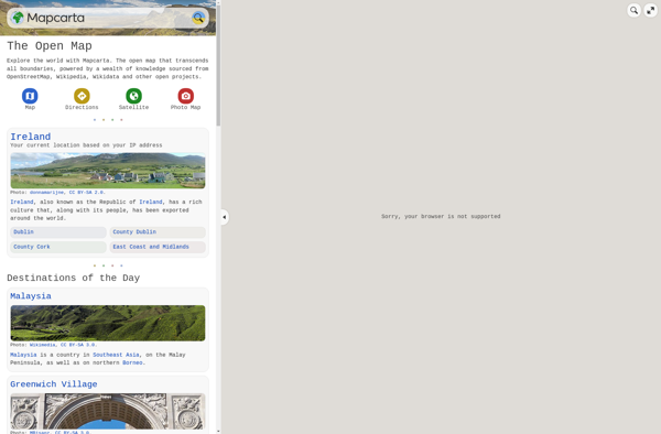
Mapcarta
MapQuest

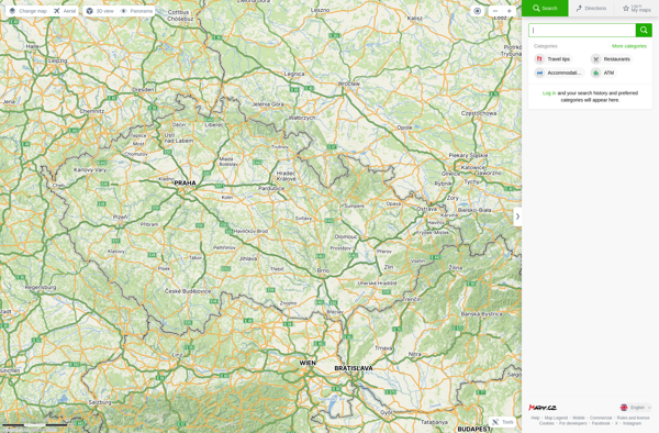
Mapy.cz
Yandex.Navigator

Map Pad

Qwant Maps
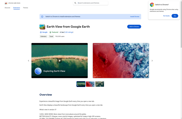
Earth View from Google Earth
2GIS

Garmin StreetPilot Onboard

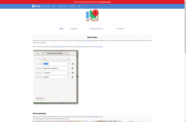
GNOME Maps
Hyperlapse Map
GeoNET

MapSphere

GMap.NET
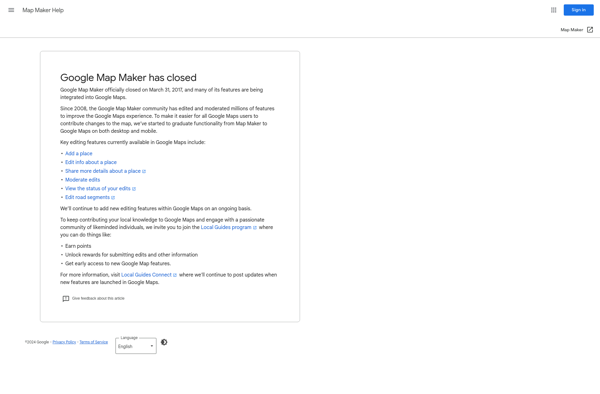
Google Map Maker
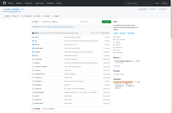
Acastus Photon
Yahoo! Maps

Emerillon
Wisepilot
Jawg Maps
ShareNav
Tagzania
MapQuery

Where To Travel Next
Stadia Maps
Gokivo Navigator
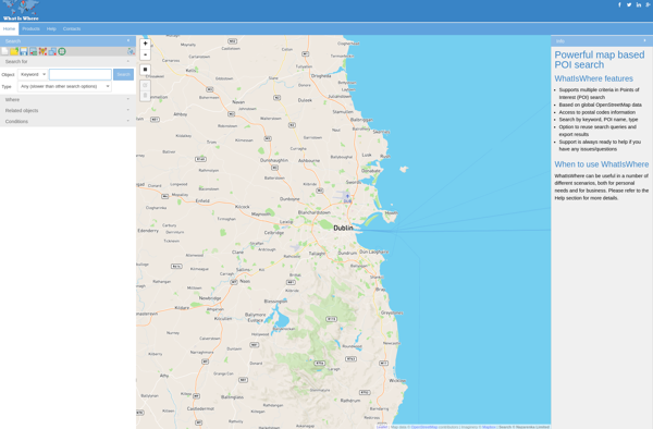
WhatIsWhere