Tagzania is a browser extension that helps organize and tag web content like web articles, social media posts, online recipes and more. It allows you to add customizable tags and notes to save key information for later retrieval.
Tagzania browser extension helps organize web content with customizable tags and notes, saving key information for later retrieval of web articles, social media posts, online recipes and more.
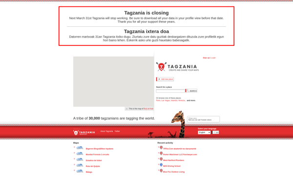
What is Tagzania?
Tagzania is a productivity browser extension used to organize, tag and annotate web content you discover while browsing the internet. It works across various websites and platforms like news sites, blogs, social media, and more to help you save key information from online content.
Some key features of Tagzania include:
Adding custom tags and notes to webpages, articles, recipes, tweets, and more to highlight important details
Built-in annotation tools to highlight, underline or circle text on any webpage
A centralized place to view all your tagged content for easy access later
Search and filter by tags or keywords to quickly find relevant saved content
Seamless integration with popular browsers like Chrome, Firefox, Safari, etc.
Options to share tagged pages with others by link or export data
Overall, Tagzania aims to boost productivity and preserve valuable information discovered online by allowing you to organizer and catalog web content in a personalized system using tags and annotations. It declutters your browsing experience and serves as an external brain to hold key information you might otherwise lose track of.
Tagzania Features
Features
Browser extension for tagging web content
Customizable tags and notes
Saves key information for later retrieval
Pricing
Freemium
Pros
Helps organize and tag web content
Allows tagging of articles, social posts, recipes
Makes content easily searchable and retrievable
Cons
Only available as browser extension, no mobile app
Google Maps is a web mapping platform and consumer application offered by Google. It offers satellite imagery, aerial photography, street maps, 360° interactive panoramic views of streets, real-time traffic conditions, and route planning for traveling by foot, car, bicycle and air, or public transportation.Key features of Google Maps include:Interactive street...
Google Earth is a geobrowser that accesses satellite and aerial imagery, ocean bathymetry, and other geographic data over the internet to represent the Earth as a three-dimensional globe. It was originally developed by Keyhole, Inc., a company acquired by Google in 2004.Google Earth allows users to search for addresses and...
OpenStreetMap (OSM) is a collaborative project to create a free and editable map of the world. Unlike proprietary map data from companies like Google or Apple, OSM map data is open and licensed under the Open Database License (ODbL), which allows anyone to use, modify, and distribute the data freely.The...
HERE WeGo is a free map and navigation app developed by HERE Technologies for iOS and Android devices. It allows users to navigate by car, public transportation, foot or bike using turn-by-turn voice guided directions. Key features of HERE WeGo include:Offline maps - Download maps to your device so you...
Apple Maps is a web mapping service developed by Apple Inc. It was introduced in 2012 with iOS 6 as a replacement for Google Maps on Apple devices. Apple Maps offers turn-by-turn navigation, interactive panoramic street views, Flyover mode for photorealistic 3D views of certain cities, support for transit routing...
TransforMap is a free, open-source mind mapping and brainstorming software. It allows users to visually organize ideas, tasks, projects, and other information with the flexibility of a mind map interface.With TransforMap, users can:Create branching mind maps to break down large concepts and projects into an organized structureConnect related topics, ideas,...
Leaflet is an open-source JavaScript library for building web mapping applications. Here is a more detailed overview:- Leaflet is designed with simplicity, performance and usability in mind. It offers easy integration with other mapping libraries and APIs.- The library is extremely lightweight at only about 38 KB, which allows for...
Yandex Maps is a free online map service developed by Yandex, a Russian multinational technology company specializing in Internet-related services and products. Yandex Maps offers highly detailed and searchable maps, turn-by-turn navigation, public transit information, traffic data, and 360-degree panoramic street view images for over 220 countries around the world.The...
2GIS is a popular free map, local search and business directory mobile app and website operating in over 1800 cities across Russia, CIS, Europe, Asia and other countries. It offers detailed interactive maps, local business listings, navigation, reviews and other local information.Some key features of 2GIS include:Detailed vector maps for...