Google Earth

Google Earth: Virtual Globe Software
View satellite imagery, maps, 3D terrain & more on a virtual globe with real-time weather & sun data. Explore the world in 3D with Google Earth.
What is Google Earth?
Google Earth is a geobrowser that accesses satellite and aerial imagery, ocean bathymetry, and other geographic data over the internet to represent the Earth as a three-dimensional globe. It was originally developed by Keyhole, Inc., a company acquired by Google in 2004.
Google Earth allows users to search for addresses and coordinates, enter tours, view images from different angles, and produce flythroughs of locations. It serves as a catalog of the world through extensive features such as 3D terrain with building models, historical imagery, coordinate labeled roads and borders, and embedded media. Layers can display data on topics like cities and landmarks, weather radar, traffic conditions, hiking trails, and Wikipedia articles/photos of select locations.
Some key features and capabilities of Google Earth include:
- View high-resolution satellite and aerial imagery for any location around the globe
- Smoothly move around the 3D landscape with easy mouse or touchscreen navigation
- Measure distances between locations or create custom areas and paths
- View detailed 3D city models for hundreds of major metropolitan cities
- Access information from Wikipedia articles, photos, and user reviews about many locations
- View documentary videos embedded at relevant geographic locations
- View dynamic overlays like real-time traffic conditions and weather radar
Google Earth combines powerful, high-end 3D visualization capabilities on desktop systems with a model centered around user interaction and sharing location-based experiences across the internet and mobile platforms. It allows anyone to explore and understand the geography of the Earth in an engaging way.
Google Earth Features
Features
- 3D satellite imagery
- Street view
- Navigation tools
- Layer data
- Real-time weather data
- Sun positioning data
- Ability to view locations globally
Pricing
- Freemium
Pros
Cons
Official Links
Reviews & Ratings
Login to ReviewThe Best Google Earth Alternatives
View all Google Earth alternatives with detailed comparison →
Top Travel & Location and Maps & Navigation and other similar apps like Google Earth
Here are some alternatives to Google Earth:
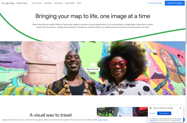
Suggest an alternative ❐Google Street View
OpenStreetMap

HERE WeGo

Modest Maps

Organic Maps

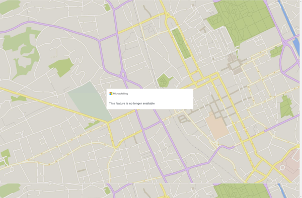
Bing Maps 3D
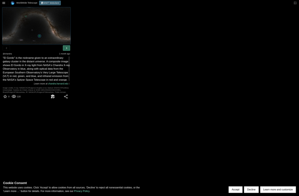
WorldWide Telescope
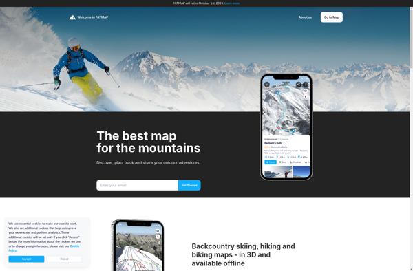
FATMAP
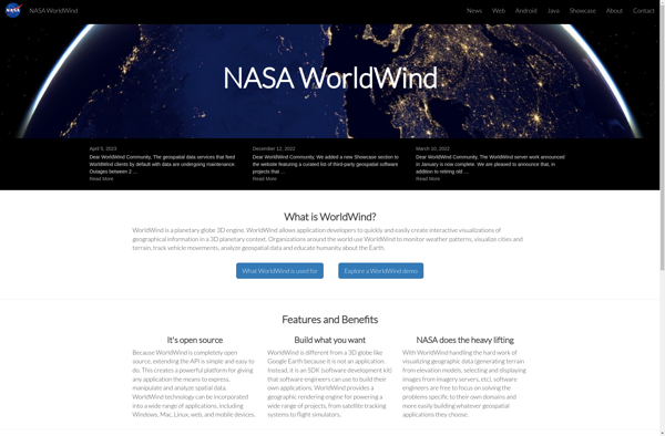
NASA World Wind
Uebermaps
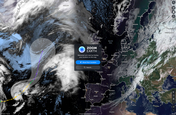
Zoom Earth
TransforMap

TerraExplorer
MapQuest

Google Earth VR
KStars
Earth Browser

Wikimapia
Marble

Map Pad
Yandex Maps

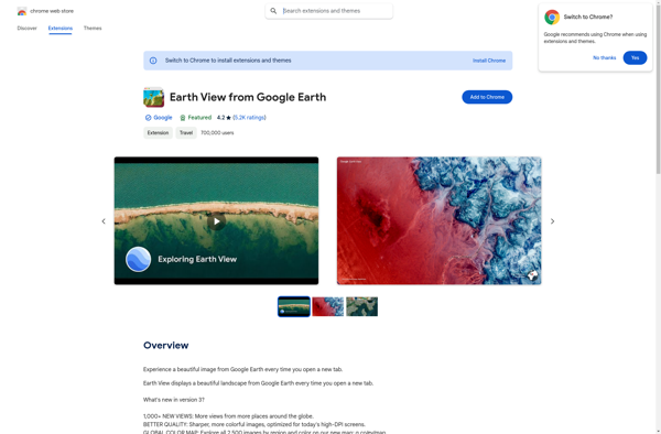
Earth View from Google Earth
Mapline

2GIS

Earth 3D
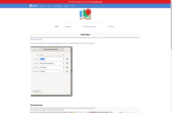
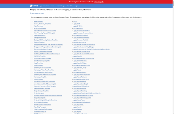
GNOME Maps
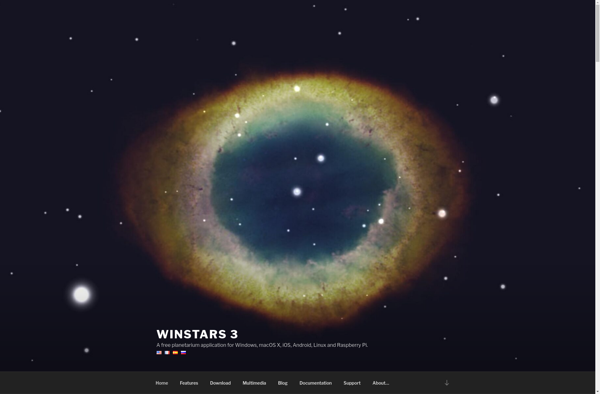
WinStars
Hyperlapse Map
MapSphere

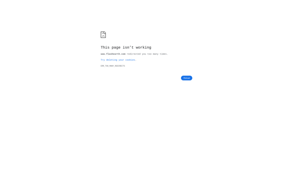
Flash Earth
Transportr

Aciqra

GMap.NET
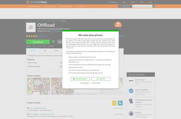
OffRoad OSM
PTolemy3D
Yahoo! Maps

Emerillon
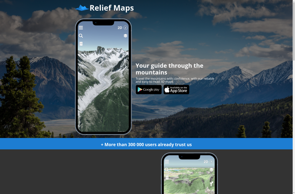
Relief Maps
Old Maps Online
QTViewer

EyeMaps
Tagzania
MapQuery

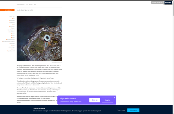
Urthecast