TerraExplorer

TerraExplorer: 3D GIS Software for Interactive Landscapes
TerraExplorer is a powerful tool for creating and visualizing interactive 3D models of landscapes, cityscapes, and other geospatial environments, allowing users to import GIS and CAD data to build realistic 3D environments.
What is TerraExplorer?
TerraExplorer is a powerful 3D GIS software solution developed by Skyline Software Systems. It enables users to import, analyze, and visualize complex 3D geospatial data from a variety of sources including GIS, CAD, BIM, and point clouds.
With TerraExplorer, users can create highly accurate and realistic 3D environments by overlaying terrain models, vector maps, aerial/satellite imagery, 3D city models, and point clouds. It utilizes advanced rendering technology to display very large 3D models in real-time while preserving details at all scales.
Some key features and capabilities include:
- Import and visualize massive 3D urban models, landscapes, and other environments
- Stream high-resolution terrain, image layers, and 3D content from local or remote data sources
- Style and analyze GIS data based on attributes to gain insights
- Smoothly navigate through 3D environments in real-time
- Record and embed configurable tours and add multimedia for presentations
- Perform line-of-sight, viewshed, and shadow analysis
- Share and collaborate using published 3D geo-data services
With its powerful visualization, analysis and sharing capabilities, TerraExplorer is ideal for applications in urban planning, architecture, telecommunications, defense, emergency response, mining and more.
TerraExplorer Features
Features
- Imports and visualizes GIS data
- Creates interactive 3D environments
- Supports terrain modeling and analysis
- Renders high-resolution 3D visualizations
- Allows fly-throughs and walk-throughs
- Integrates with other GIS software
- Supports 3D measurements and analysis
- Creates 3D models from aerial and satellite imagery
- Exports 3D models and animations
Pricing
- Subscription-Based
- Custom Pricing
Pros
Cons
Reviews & Ratings
Login to ReviewThe Best TerraExplorer Alternatives
View all TerraExplorer alternatives with detailed comparison →
Top Travel & Location and Mapping & Navigation and other similar apps like TerraExplorer
Here are some alternatives to TerraExplorer:
Suggest an alternative ❐Google Earth

Bing Maps 3D
NASA World Wind

Leaflet

StarCalc
Marble

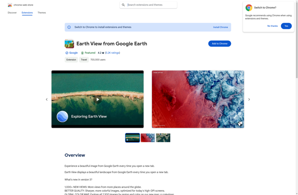
Earth View from Google Earth
Mapline
