RepresentMap

RepresentMap

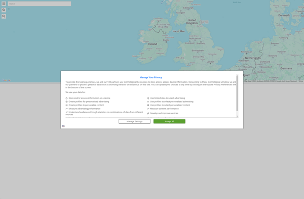
RepresentMap is an open source software for creating interactive maps and data visualizations. It allows users to upload geospatial data sets and create customizable choropleth maps, dot density maps, etc. Key features include data filtering, color schemes, popups, and exporting
maps data-visualization geospatial open-source

RepresentMap: Open Source Interactive Map Software

An open source software for creating interactive maps and data visualizations, with features like data filtering, color schemes, popups, and exporting images.

What is RepresentMap?

RepresentMap is an open-source web application for creating interactive maps and data visualizations. It allows users to upload their own geospatial data sets such as shapefiles, GeoJSON files, CSVs, etc. and instantly visualize them on a map.

Some of the key features of RepresentMap include:

  • Support for different types of choropleth maps, dot density maps, graduated symbol maps, and more
  • Customizable color schemes and class breaks for data
  • Interactive popups that display information when clicking on map features
  • Data filtering to highlight specific attributes or values
  • Exporting maps as PNG images or embeddable HTML snippets
  • Configurable map settings such as mouse wheel zooming, legend display, and initial viewpoint

RepresentMap is designed to make interactive mapping more accessible to students, educators, non-profit organizations, journalists, and other users without GIS expertise. Its simple and intuitive interface allows anyone to quickly visualize geospatial patterns and tell data-driven stories on a map.

Compared to proprietary GIS software, RepresentMap offers a free and open alternative focused specifically on web-based mapping and analysis. It runs fully in the browser without any plugins or app downloads required.

RepresentMap Features

Features

  1. Upload geospatial data sets
  2. Create customizable choropleth maps
  3. Create customizable dot density maps
  4. Data filtering
  5. Customizable color schemes
  6. Interactive popups
  7. Export map images

Pricing

  • Open Source
  • Free

Pros

Open source

User friendly interface

Support for multiple data formats

Customizable styling

Interactive and engaging maps

Free to use

Cons

Limited basemap options

Steep learning curve

Lacks some advanced GIS functionality

Can be slow with large datasets

Only creates static maps (no web maps)


The Best RepresentMap Alternatives

Top Data Visualization and Interactive Mapping and other similar apps like RepresentMap


TerraExplorer icon

TerraExplorer

TerraExplorer is a powerful 3D GIS software solution developed by Skyline Software Systems. It enables users to import, analyze, and visualize complex 3D geospatial data from a variety of sources including GIS, CAD, BIM, and point clouds.With TerraExplorer, users can create highly accurate and realistic 3D environments by overlaying terrain...
TerraExplorer image
Showmystreet icon

Showmystreet

Showmystreet is an open source web application developed by mySociety that enables citizens to report, view, and discuss local issues in their area. Users can pinpoint problems like potholes, broken streetlights, graffiti, rubbish dumping, etc. on an interactive map and submit reports to their local councils.Some key features of Showmystreet...
Showmystreet image
Pixel Map Generator icon

Pixel Map Generator

Pixel Map Generator is a free online application that makes it easy for anyone to create customized pixelated images, maps, game assets, and more. With its user-friendly interface, you can easily draw and edit pixel art without needing any artistic or technical skills.To start designing pixel art, you simply open...
Pixel Map Generator image
Routingo icon

Routingo

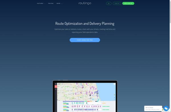
Routingo is an easy-to-use route optimization and planning software designed specifically for small delivery businesses. It streamlines the entire delivery workflow from order to cash in the following ways:- Visualize all addresses and stops on an interactive map. Easily create, edit, organize delivery routes.- Utilizes advanced algorithms to auto-generate the...
Routingo image